Boesmanskloof Navigation: Waymarked Trail & River Crossings
How to navigate Boesmanskloof — waymarked Greyton–McGregor path, Oakes Falls landmark, limited signal and offline maps.
Hiked by Lee
Self-guided
Last verified
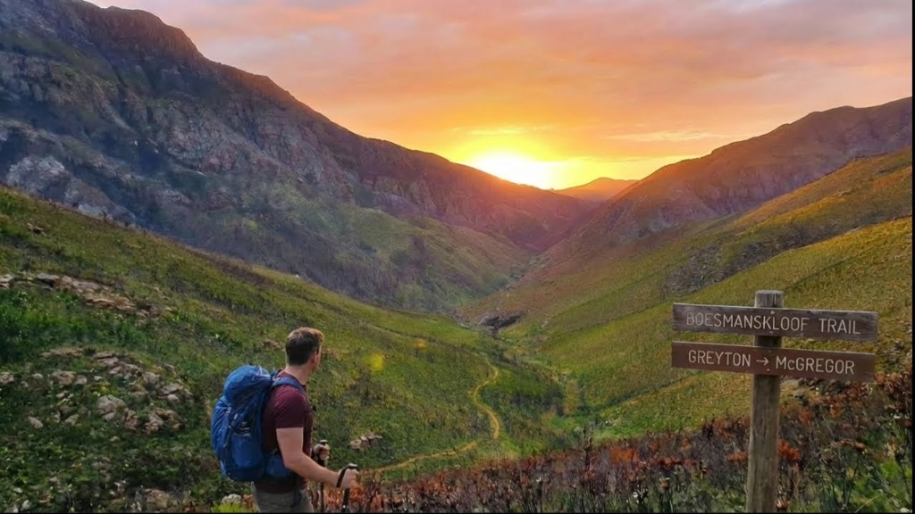
Boesmanskloof is well-marked between Greyton and McGregor — navigation is straightforward compared to unmarked wilderness treks. The main challenges are river crossings after rain and limited cell signal near Eagle's Nest.
Also read: Complete Guide · Itinerary · Trek overview

Waymarking
| Section | Navigation |
|---|---|
| Greyton start | Trail leaves town into fynbos slopes |
| Breakfast Rock | Early landmark on climb |
| Oakes Falls | Major halfway point — hard to miss |
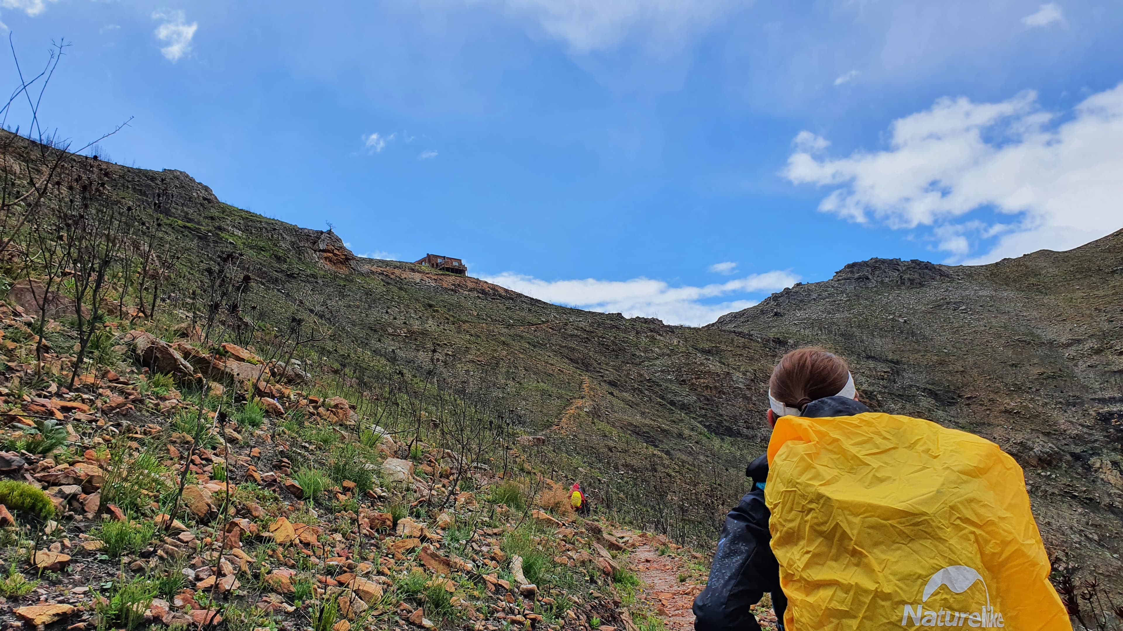
| Eagle's Nest | Steep climb; cottage near ridge |
| McGregor finish | Descent into opposite village |
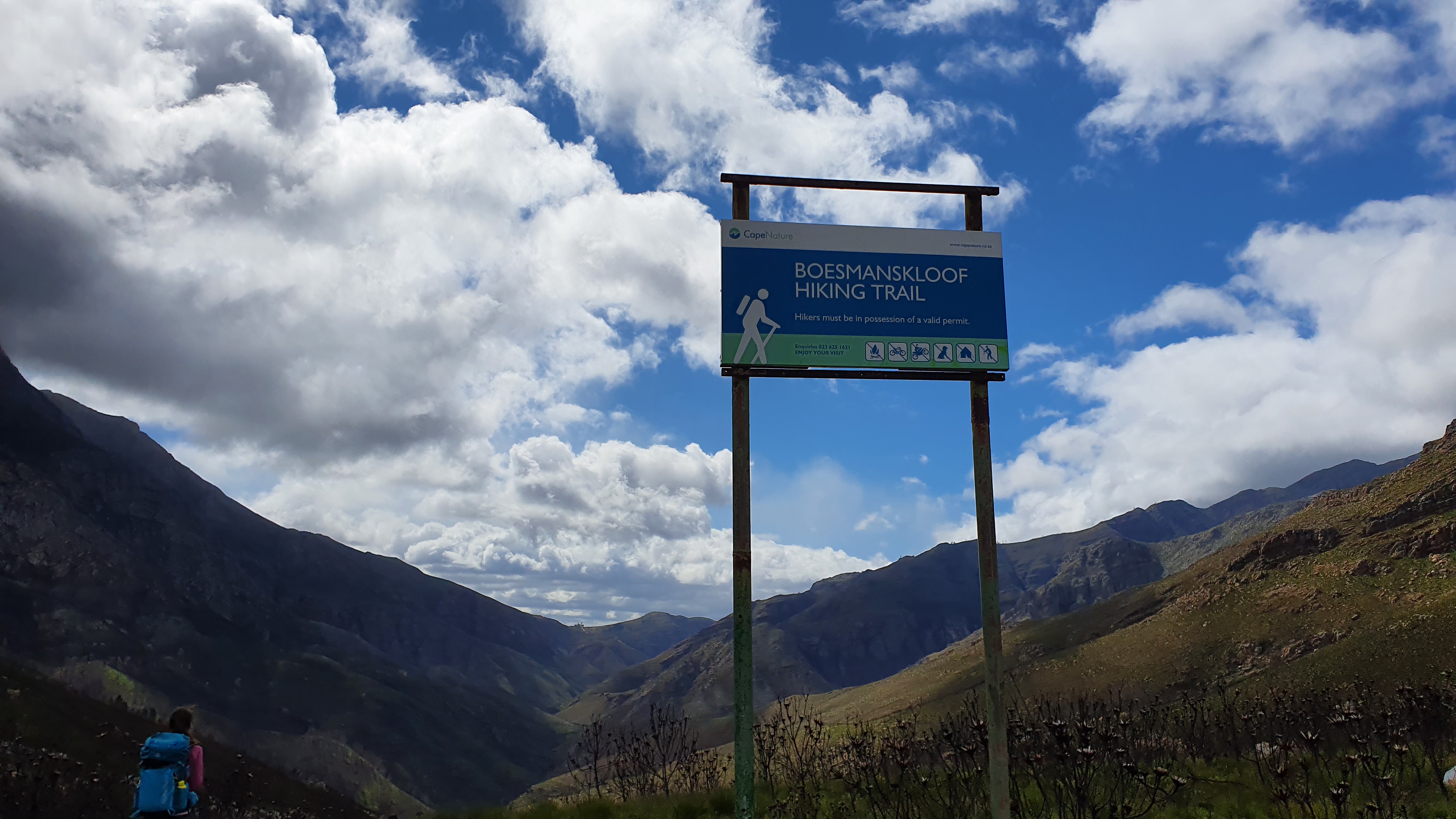
Official CapeNature route — follow marked path only.
Navigation tools
1. Offline maps
Signal drops on the mountain — download before leaving Greyton:
- Boesmanskloof / Greyton–McGregor on Komoot or AllTrails
- Screenshot trailhead parking and cottage location
2. Natural landmarks
- Oakes Falls — confirm you're ~halfway
- Valley views — orientation on ridgeline sections
- River crossings — multiple; stay on marked ford points
3. Direction choice
| Direction | Navigation note |
|---|---|
| Greyton → McGregor | Uphill first; falls at lunch |
| McGregor → Greyton | Gentler start; falls still ~midpoint |
| Return Day 2 | Trail feels different in reverse — stay alert on descents |
I noted Day 2 reverse hiking required focus on loose rock and wet soil near Eagle's Nest.
River crossings
- Several streams along the kloof
- After rain — higher flow, slippery rocks
- Trekking poles help balance
Cottage navigation
- Book Die Galg / Eagle's Nest in advance — get exact directions from host
- No electricity or signal at cottage — arrive before dark on Day 1
- Headlamp essential for last kilometres if late
Safety notes
- Lightning in summer thunderstorms — descend from exposed ridges
- Tell someone your route and expected finish time
- CapeNature permit may include emergency numbers — carry proof
- No technical scrambling — stay on path near cliff edges
Offline checklist
- Trail map downloaded offline
- Cottage booking confirmation saved (screenshot)
- Shuttle driver contact if one-way
- Headlamp and whistle in pack
- CapeNature permit on person
Related planning
- Difficulty — Eagle's Nest climb
- Getting there — trailhead parking
- Accommodation — cottage directions
- Packing list — map and GPS kit
Next guide
After the Hike: Recovery, Lessons & What to Do Next
Post-trail recovery and lessons — first 48 hours, packing retrospectives, recovery towns Lee actually used, and links to plan your next hut trek.