
How Hard Is Boesmanskloof? Difficulty Guide
Boesmanskloof difficulty — moderate 14 km Greyton–McGregor trail, Eagle's Nest climb and who this Western Cape hike suits.
Hiked by Lee
Self-guided
Last verified
Boesmanskloof is rated moderate — not technical, but undulating for the full 14 km. The crux is the Eagle's Nest climb with a loaded pack on My overnight trip.
Difficulty at a glance
| Option | Distance | Difficulty | Time |
|---|---|---|---|
| One-way day hike | 14 km | Moderate | 4–6 h |
| Out-and-back (1 day) | 28 km | Challenging | 8–12 h |
| My 2-day return | 28 km | Moderate | 2 days |
| Eagle's Nest climb | — | Hard section | Afternoon Day 1 |
What makes it moderate
Undulating terrain
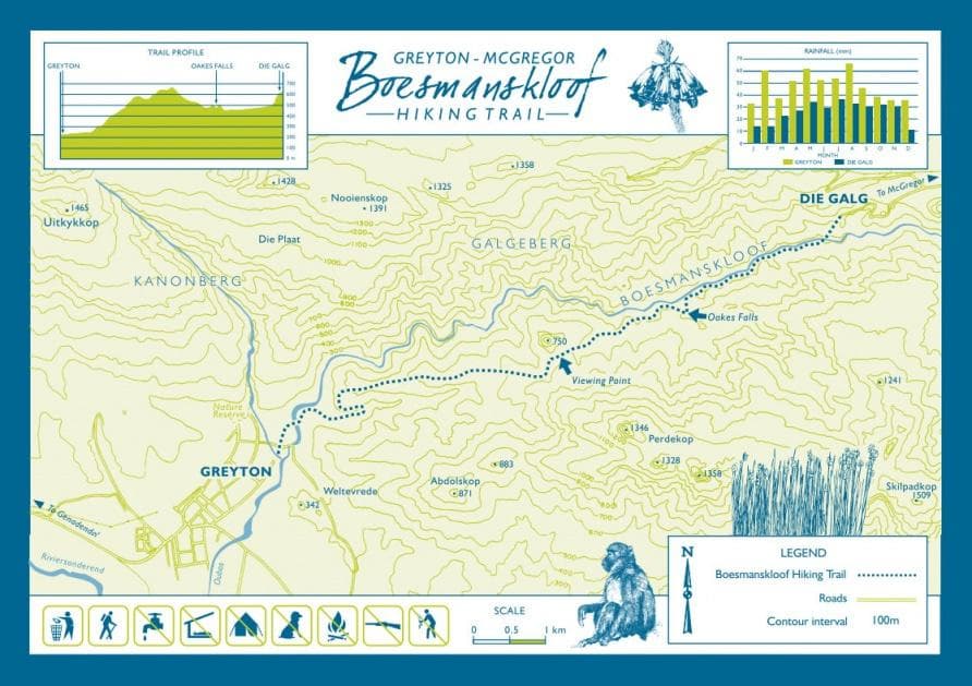
- ~600 m elevation gain one way
- Constant ups and downs — rarely flat
- Well-marked path, no ropes or scrambling
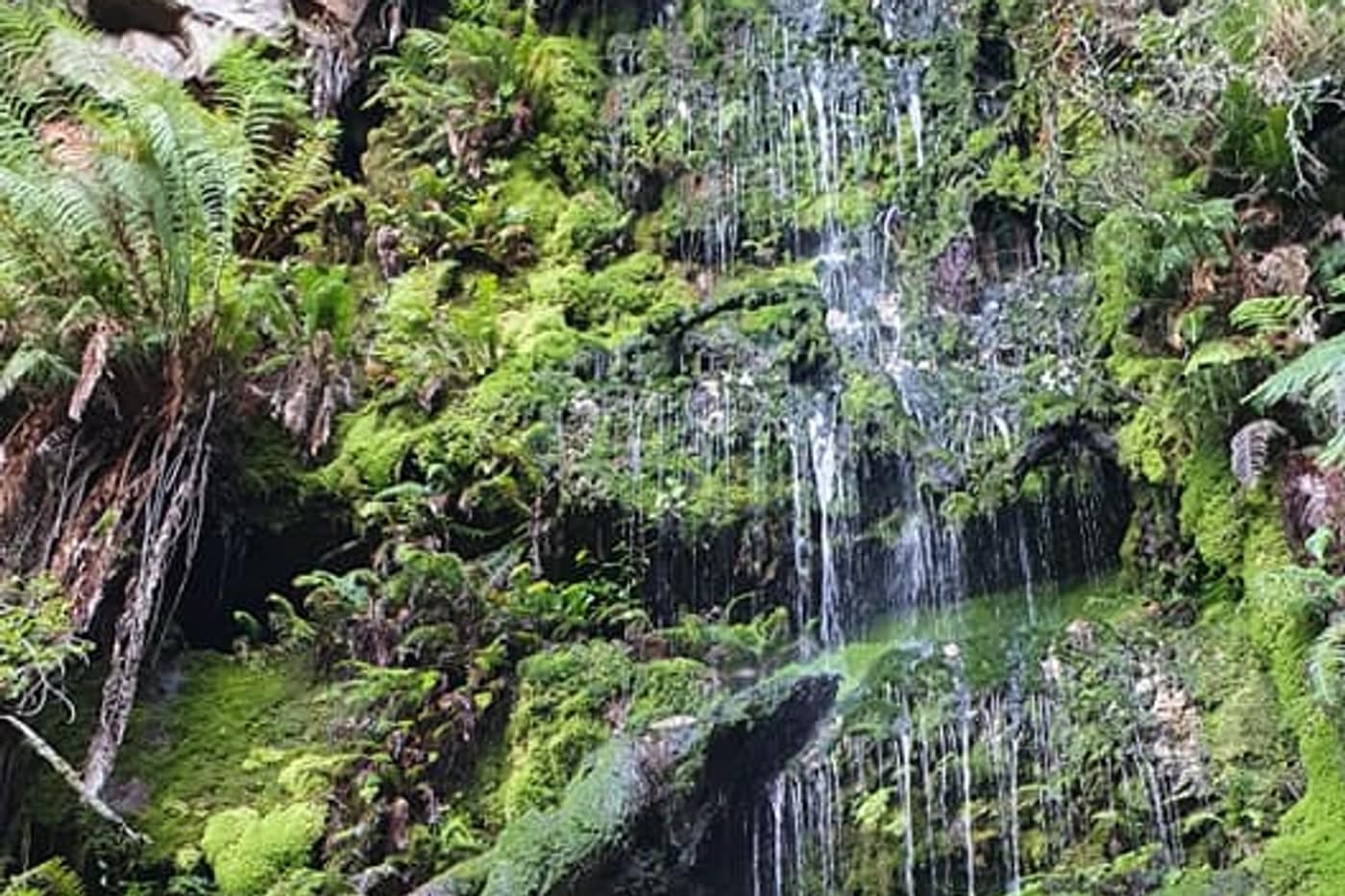
- River crossings — watch footing after rain
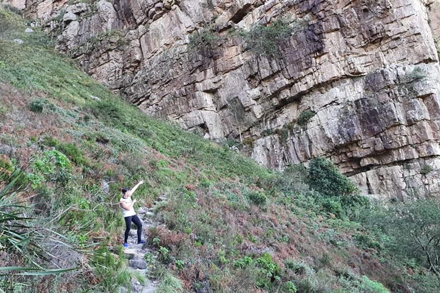
Eagle's Nest (crux)
Our group found this the hardest section:
- Steep, exposed climb late on Day 1
- Heavy packs made it a grind
- Views from the ridge — worth every step
- Day 2 descent tough on tired knees
Weather variability
- Drizzle, sun and mist in one afternoon
- Pack adds effort in heat
- Wind at cottage overnight
Who is it for?
Great fit if you:
- Hike regularly or walk 10–15 km comfortably
- Want a accessible SA mountain trail without Otter-level booking stress
- Enjoy fynbos scenery and village bookends
- Can pace yourself with breaks at Oakes Falls
Reconsider if you:
- Are completely new to hiking (do one-way with shuttle first)
- Want a flat trail — this isn't it
- Plan 28 km in one day without training
- Dislike carrying overnight pack — do day hike instead
Compared to other SA trails
| Trek | vs Boesmanskloof |
|---|---|
| Otter Trail | Longer, harder, coastal, competitive permits |
| Giants Cup | Longer (~60 km), more consecutive days |
| Cederberg | Harder scrambling, wild camp |
| Table Mountain | Shorter; good training ground |
training tips (from my experience)
- Build to 10–15 km routes with elevation
- Practice with loaded pack (6–8 kg for overnight)
- Stairs and hills — Eagle's Nest rewards leg strength
- Break in hiking boots before trail day
- Keep training casual — weekend hikes enough
Making it easier
- One-way + shuttle — half the distance
- McGregor → Greyton — slightly easier elevation profile
- 2-day trip — split the 28 km
- Pack light — I regretted extra clothes
- Long lunch at Oakes Falls — don't rush
Related planning
- Itinerary — route options
- Packing list — weight saving
- Food — fuel for climbs
- Otter Trail — harder SA benchmark
Official resources
Cross-check dates, fees and trail rules with primary sources before you travel:
CapeNature — Boesmanskloof · Greyton Tourism
Difficulty context for Boesmanskloof
Difficulty here is fitness plus terrain plus weather on the day — not a single brochure label. Train on hills with a loaded pack before committing to 2-day stages.
| Fact | Detail |
|---|---|
| Start | Greyton |
| End | McGregor |
| Distance | ~14 km |
| Duration | ~2 days |
| Difficulty | moderate |
| Style | a mix of huts, hotels and camping |
| Permit | Required |
Frequently asked questions
How fit is enough?
Comfortably hike a long day with elevation at home before Boesmanskloof. "moderate" on paper can feel harder with a full pack in heat or fog.
Is this trek technical?
Check whether the official route includes exposed sections, river crossings or snow. Weather can upgrade difficulty quickly in South Africa.
Can beginners do this?
Some groups manage with training and shorter stages. Be honest about fear of heights, cold and navigation before committing to Boesmanskloof.
What slows groups down most?
Photo stops, river waits, pack adjustments and fog — not fitness alone. Start early on the crux day even if yesterday felt easy.
Decision checklist for Boesmanskloof
- Train to the moderate difficulty with a loaded pack
- Identify the hardest stage before booking flights
- Plan bail options for bad weather days
Before booking Boesmanskloof
Lock non-refundable pieces — permits, key lodging, and transport into Greyton — only after the stage plan is realistic.
Before departure, walk through food, water, navigation and shelter against the longest stage, then use the packing list builder and cost calculator as a second pass — and still verify prices and rules on official websites.
Continue planning Boesmanskloof
Boesmanskloof Accommodation: Greyton, McGregor & Die Galg · Boesmanskloof Cost Guide: Budget in ZAR · Boesmanskloof Food Guide: Trail Lunch & Cottage Braai · Getting to Boesmanskloof: Greyton, McGregor & Shuttles · Boesmanskloof Itinerary: Day Hike & 2-Day Options · Boesmanskloof Navigation: Waymarked Trail & River Crossings · Trek overview
Use the Packing List Builder, Trek Cost Calculator and Trek Comparison when your dates are firm.
Next guide
Boesmanskloof Navigation: Waymarked Trail & River Crossings
How to navigate Boesmanskloof — waymarked Greyton–McGregor path, Oakes Falls landmark, limited signal and offline maps.
Related guides
trek accommodation guide
Boesmanskloof Accommodation: Greyton, McGregor & Die Galg
Boesmanskloof · 4 min read
Read guide →
trek cost guide
Boesmanskloof Cost Guide: Budget in ZAR
Boesmanskloof · 4 min read
Read guide →
trek food guide
Boesmanskloof Food Guide: Trail Lunch & Cottage Braai
Boesmanskloof · 4 min read
Read guide →