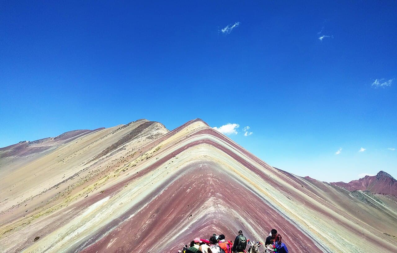
Rainbow Mountain Navigation: Routes & Trail Tips
Rainbow Mountain navigation — Cusipata vs Chillca routes, guided trails, waymarking and when to turn back at altitude.
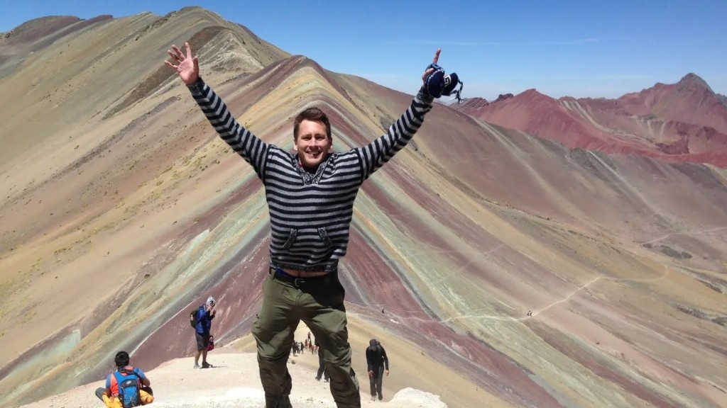
Hiked by Lee
Guided
Last verified
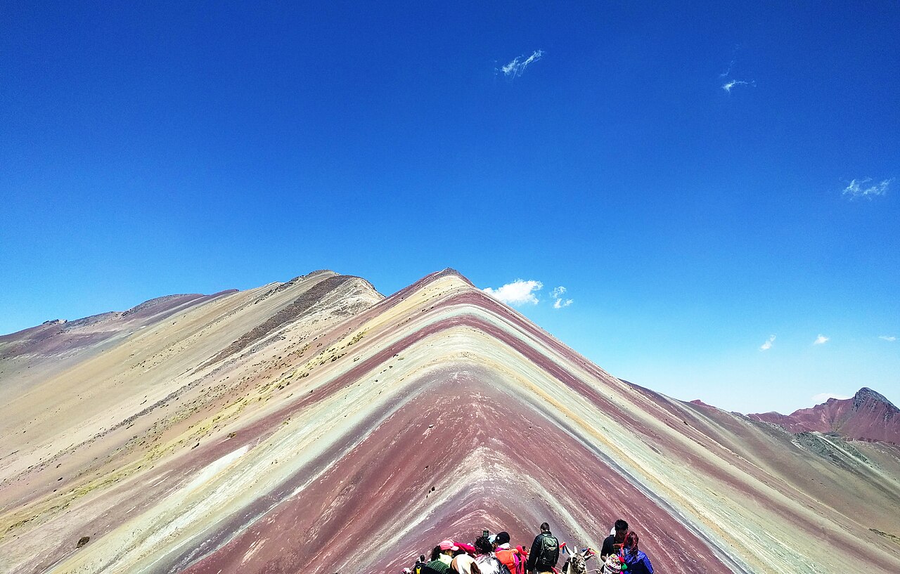
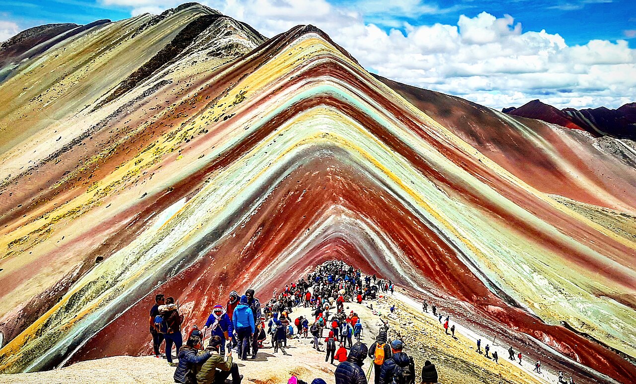
Rainbow Mountain trails are well-trodden and guide-led on the classic route — navigation is rarely technical, but weather, crowds and altitude dictate pacing and turn-back decisions.


Main routes
| Route | Start | Distance | Navigation |
|---|---|---|---|
| Cusipata (classic) | Pitumarca/Cusipata area | ~5 km RT | Obvious path; heavy traffic |
| Chillca (alternative) | Chillca village | ~10 km RT | Quieter; longer exposed sections |
| Ausangate combo | Various | 40–70 km | Multi-day; guide essential |
Guided vs independent
| Approach | Notes |
|---|---|
| Guided day tour | Recommended — transport, timing, local knowledge |
| Independent | Possible with own transport + entrance fee; know regulations |
| GPS / maps | Useful backup; phone batteries die in cold |
Lee hiked with a guided group — the path was obvious in clear weather but the guide's pacing for altitude was invaluable.
On-trail wayfinding
- Single main ridge approach on the Cusipata route — follow the crowd in peak season
- Forks are limited; summit viewpoint is the obvious high point
- Red peak (Red Valley) is a common side extension — ask your guide
When to turn back
Altitude symptoms trump navigation — descend if headache, nausea or dizziness worsen. Cloud can roll in fast; if visibility drops on exposed ridges, follow your guide's call.
Maps & apps
- Maps.me or Gaia GPS — offline backup
- No substitute for acclimatisation — maps don't fix altitude illness
Related planning
- Itinerary — timing per route
- Getting there — trailhead access
- Inca Trail navigation — multi-day Peru trekking
Navigation & route-finding
| Fact | Detail |
|---|---|
| Waymarked | Yes — still carry offline GPS |
| Distance | ~5 km |
| Ascent | ~400 m |
| Start | Cusipata trailhead |
| End | Cusipata trailhead |
Field checklist
- Offline maps downloaded before the trailhead
- Paper map or printed overview as battery backup
- Agree regroup points at major junctions
- Know bail options to road / village if weather turns
Evidence note
This page uses researched planning data (trek stats, published cost/packing profiles, and official links). Trek-level completion alone is not treated as proof of every cost, meal, or booking detail.
Plan next for Rainbow Mountain
Complete Guide · Trek hub · Itinerary · Cost · Packing
Official sources to re-check
Navigation planning for Rainbow Mountain
The route is waymarked, but fog, snow and tired legs still demand a map and offline GPS — markers disappear faster than expected.
| Fact | Detail |
|---|---|
| Start | Cusipata trailhead |
| End | Cusipata trailhead |
| Distance | ~5 km |
| Duration | ~1 days |
| Ascent | ~400 m |
| High point | ~5,200 m |
| Difficulty | challenging |
| Style | self-supported carrying your own kit |
| Budget anchor | ~100 USD |
| Permit | Required |
| Waymarked | Yes |
Frequently asked questions
Is a paper map needed?
Yes — batteries die in cold rain. Carry a waterproof map or printed overview plus offline GPS on Rainbow Mountain.
How visible is the trail?
The route is waymarked, but fog, snow and tired legs still demand a map and offline GPS — markers disappear faster than expected.
Are trekking poles worth it?
On steep or slippery terrain they save knees — especially on long climb-and-descent days on Rainbow Mountain.
What if someone loses the group?
Agree regroup points at junctions, carry a whistle, and know the emergency number for Peru.
Decision checklist for Rainbow Mountain
- The route is waymarked, but fog, snow and tired legs still demand a map and offline GPS — markers disappear faster than expected.
- Carry paper backup plus offline GPS
- Agree regroup points at major junctions
Before booking Rainbow Mountain
Lock non-refundable pieces — permits, key lodging, and transport into Cusipata trailhead — only after the stage plan is realistic.
Before departure, walk through food, water, navigation and shelter against the longest stage, then use the packing list builder and cost calculator as a second pass — and still verify prices and rules on official websites.
Continue planning Rainbow Mountain
Rainbow Mountain Accommodation: Where to Stay in Cusco · Rainbow Mountain Cost Guide: Budget in USD · Rainbow Mountain Difficulty: Altitude vs Distance · Rainbow Mountain Food: Eating at Altitude in Cusco · Getting to Rainbow Mountain: Cusco & Trailhead Transport · Rainbow Mountain Itinerary: Cusco Day Hike · Trek overview
Use the Packing List Builder, Trek Cost Calculator and Trek Comparison when your dates are firm.
Related guides

trek accommodation guide
Rainbow Mountain Accommodation: Where to Stay in Cusco
Rainbow Mountain · 4 min read
Read guide →

trek cost guide
Rainbow Mountain Cost Guide: Budget in USD
Rainbow Mountain · 6 min read
Read guide →

trek difficulty guide
Rainbow Mountain Difficulty: Altitude vs Distance
Rainbow Mountain · 4 min read
Read guide →