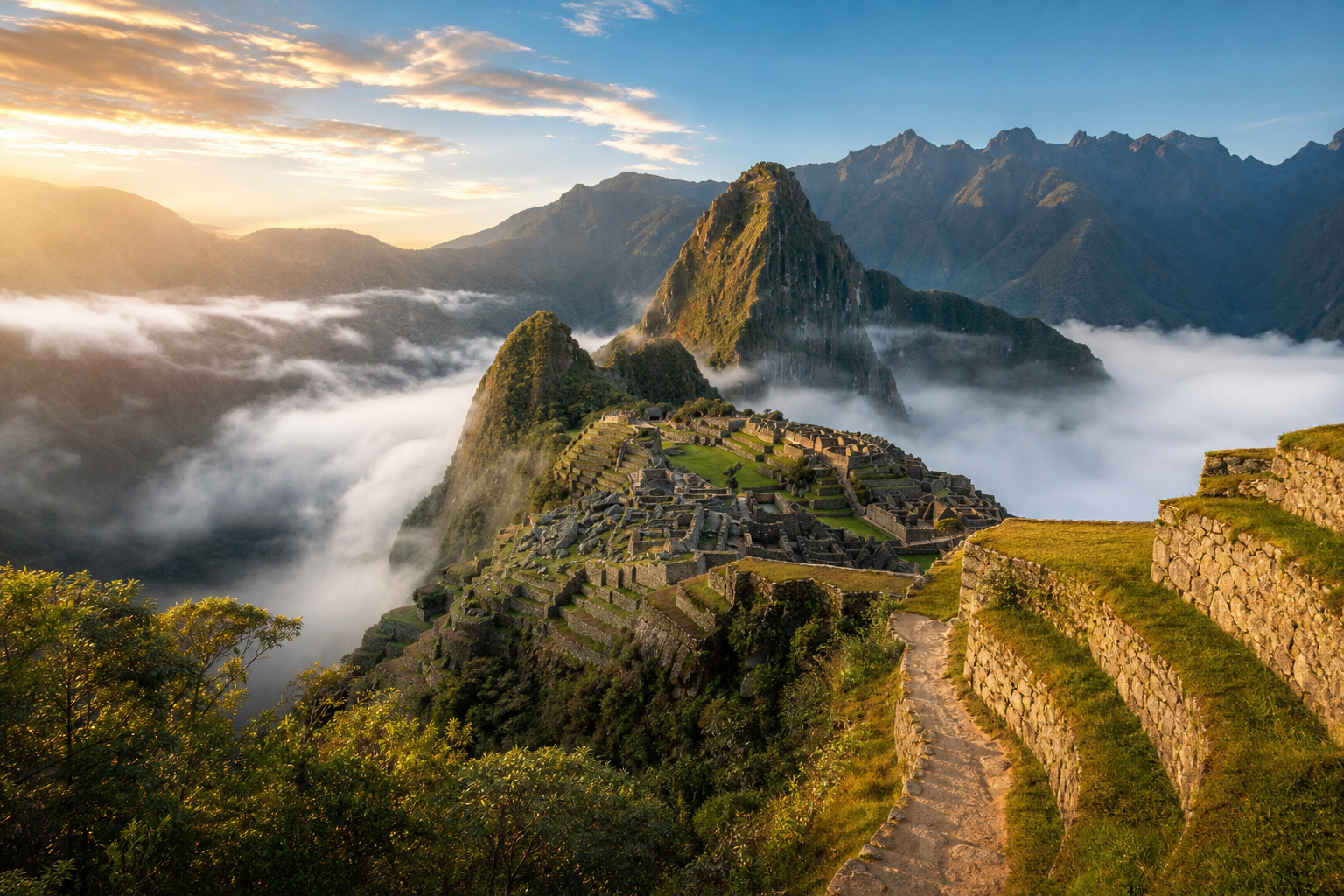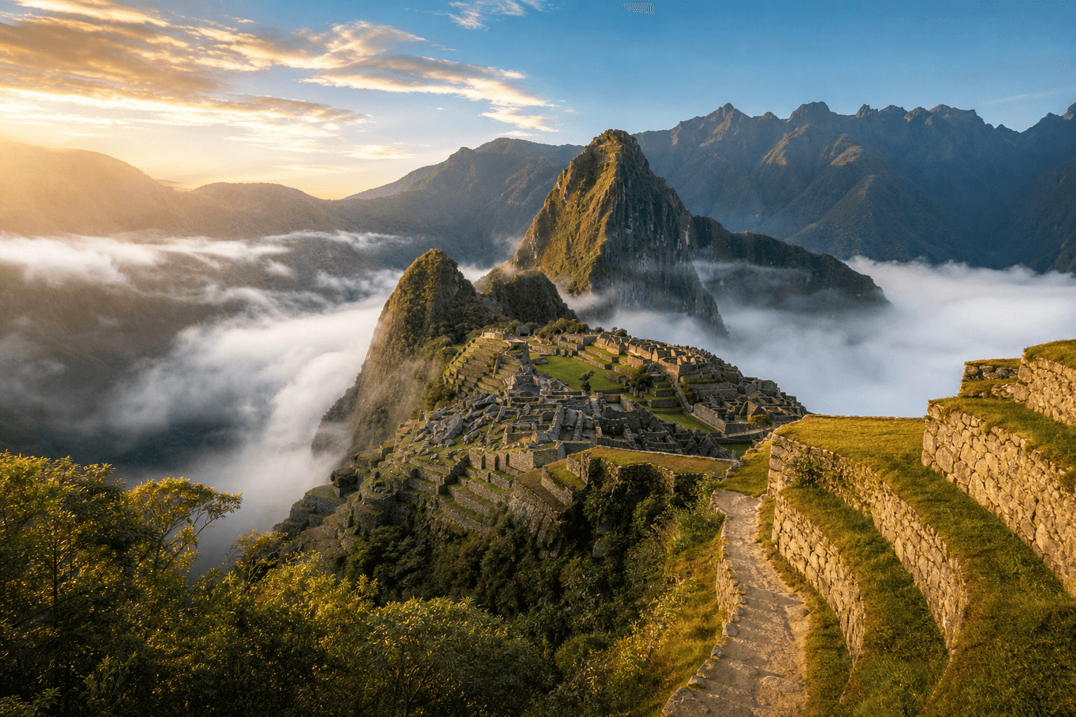
Inca Trail Navigation: Route & Wayfinding
Inca Trail navigation — Classic 4-day route, guided wayfinding, stone paths, checkpoints and offline map backups.
Hiked by Lee
Guided
Last verified
The Classic Inca Trail is a single permitted route — your guide sets navigation and pace. Independent hiking is not allowed; wayfinding is straightforward but weather and fatigue still matter.
Also read: Complete Guide · Itinerary · Trek overview


Route structure
| Section | Navigation character |
|---|---|
| Day 1 | River valley paths — gentle |
| Day 2 | Long switchbacks to pass — obvious uphill |
| Day 3 | Ruins linked by stone steps — follow guide |
| Day 4 | Forest path to Sun Gate — pre-dawn headlamp |
Checkpoints
Park rangers verify permits and passports at KM 82 and along the route. Keep passport accessible in your daypack.
Maps and GPS
| Tool | Use |
|---|---|
| Licensed guide | Primary navigation |
| Maps.me / Gaia GPS | Offline backup |
| Paper map | Optional; rarely needed |
Cloud forest sections can be misty — stay with your group.
Alternative routes
The Classic Inca Trail is distinct from Salkantay, Lares or Short Inca Trail (2-day) — different permits, different paths. Confirm your booking matches the 4-day Classic if that's your goal.
Related planning
- Difficulty — when to slow down
- Getting there — KM 82 start
- Rainbow Mountain navigation — day-hike contrast