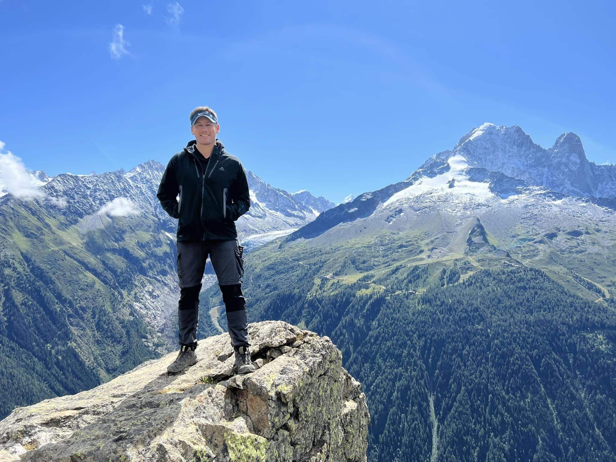
Otter Trail Navigation: Coastal Route & River Crossings
How to navigate the Otter Trail — waymarked SANParks coastal path, river crossing protocols, patchy signal and offline maps.
Hiked by Lee
Self-guided
Last verified
The Otter Trail is a waymarked SANParks route — you won't get lost for days in wilderness. The real navigation challenge is river crossings after rain and patchy cell signal when you need to coordinate shuttles.
Also read: Planning Guide · Itinerary · Trek overview

The route is defined and maintained by SANParks. Do not shortcut fragile coastal vegetation — rangers brief groups on river protocols at Storms River Mouth.
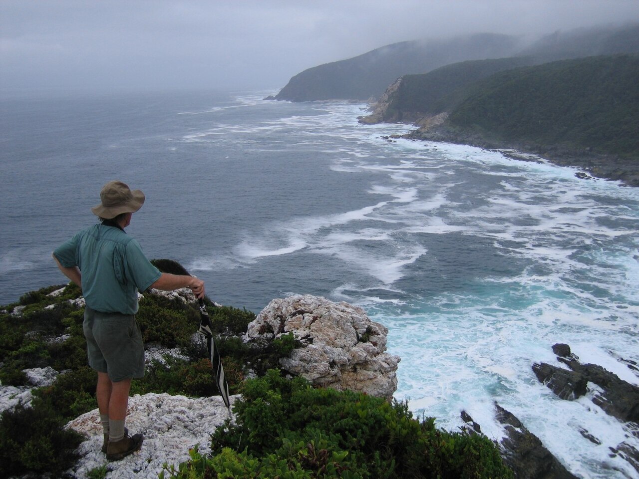

Waymarking
| Section | Navigation |
|---|---|
| Coastal cliff paths | SANParks markers; well-trodden |
| Forest gorges | Defined trail; occasional mud |
| River mouths | Crossings flagged by rangers when unsafe |
| Hut approach | Signposted from main path |
This is not an unmarked wilderness trek like the Skye Trail — follow the official Otter route only.
Navigation tools
1. Offline maps
Cell signal is patchy along the coast. Download before Day 1:
- SANParks route on Komoot, AllTrails or similar
- Offline Google Maps for Tsitsikamma section
- Screenshot hut locations and emergency numbers
2. SANParks briefing
- Register at Storms River Mouth on Day 1
- Ask rangers about current river conditions
- Note hut warden contact protocols
- Confirm any trail closures or fire restrictions
3. Paper backup
Screenshot or print the official hut sequence and distances — battery-free backup.
River crossing protocol
The Otter's navigation crux is not map reading — it's when to cross:
| Rule | Why |
|---|---|
| Wait for ranger guidance | Crossings close after heavy rain |
| Never cross alone in fast water | Coastal rivers rise quickly |
| Group up at mouths | Shared decision-making |
| Factor waiting time | Hours of delay possible on Day 4 |
After rain, the day's "navigation" becomes patience — not GPS skill.
Wet-route footwear strategy
- Shoes you accept getting fully wet
- Dry bag with camp sandals and dry socks for after crossing
- Trekking poles for balance on slippery rocks
Emergency & communication
- Hut wardens and SANParks radio protocols apply
- Carry a whistle and basic first-aid kit
- Tell someone your booking dates and shuttle plan before Day 1
- Don't rely on live phone maps — download offline
In emergency: follow SANParks procedures; wardens coordinate rescue.
Day 4 navigation note
Longest stage with multiple river mouths:
- Start early — delays compound
- Confirm crossing status at each mouth
- If delayed, communicate with hut warden at Andre
- Shuttle driver needs flexible finish window
Wildlife on trail
- Baboons — navigation includes securing food at huts, not route-finding
- Stick to marked path — don't shortcut fragile coastal vegetation
- Respect tide and cliff edge warnings
Offline checklist
- SANParks route downloaded offline
- Hut names and day distances saved
- Shuttle driver contact stored (SMS-capable)
- Whistle and headlamp in pack
- Dry bags tested before Day 1
Related planning
- Difficulty — river crossing fitness
- Itinerary — Day 4 timing
- Getting there — shuttle coordination
- Packing list — poles and dry bags
Frequently asked questions
Do I need a GPS?
The main path is waymarked — but download offline maps anyway. Signal is patchy and river waits eat battery.
What app should I use?
Any offline map with the SANParks route — Komoot, AllTrails or saved Google Maps tiles. Screenshot hut names as backup.
Who decides when a river is safe?
SANParks rangers and hut wardens — not your group chat. Wait for official guidance.
Can I use drone on the Otter Trail?
Check current SANParks rules — drones are often restricted in national parks.
What I wished I'd known
- Paper backup beats a dead phone at a closed river mouth
- Whistle + headlamp belong in the top of your pack, not buried under food
- Tell your shuttle plan to someone at home before Day 1 — not only your driver
Next guide
After the Hike: Recovery, Lessons & What to Do Next
Post-trail recovery and lessons — first 48 hours, packing retrospectives, recovery towns Lee actually used, and links to plan your next hut trek.