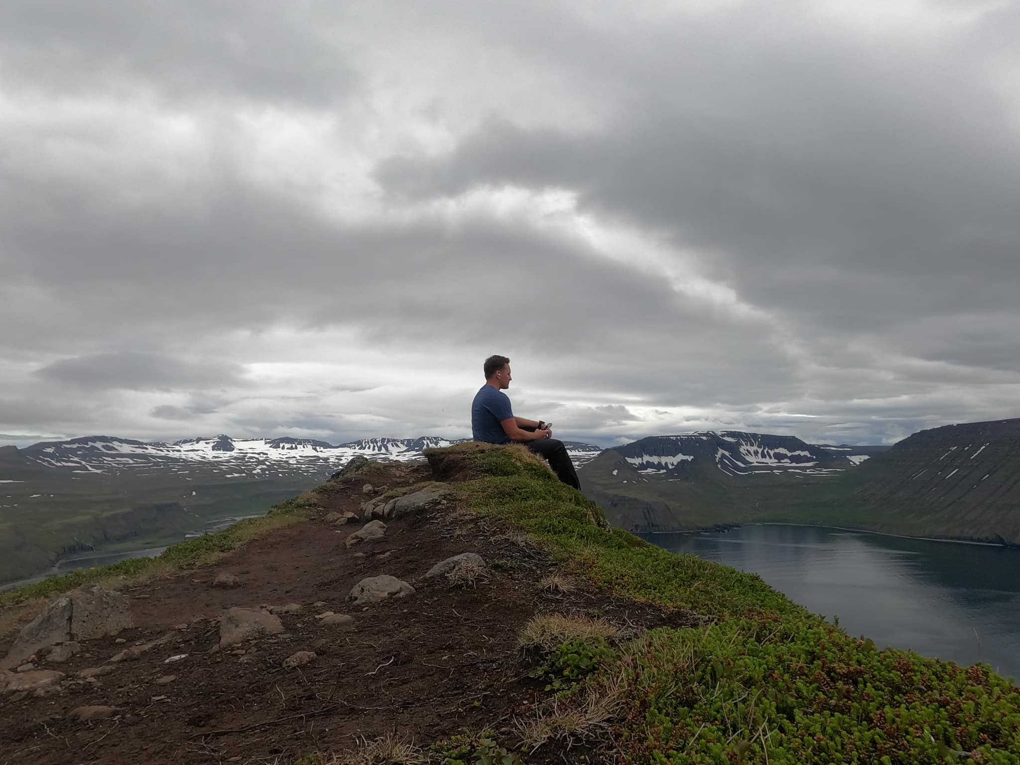
Hornstrandir Navigation: GPS, Maps & Weather
How to navigate Hornstrandir — unmarked wilderness paths, offline GPS, vedur.is weather and Lee's whiteout Day 4 experience.
Hiked by Lee
Self-guided
Last verified
Hornstrandir has no marked trails — faint paths, boggy ground and fog that erases visibility. Lee relied on GPS watch and phone every day; Day 4 was a complete whiteout.
Also read: Complete Guide · Itinerary · Trek overview
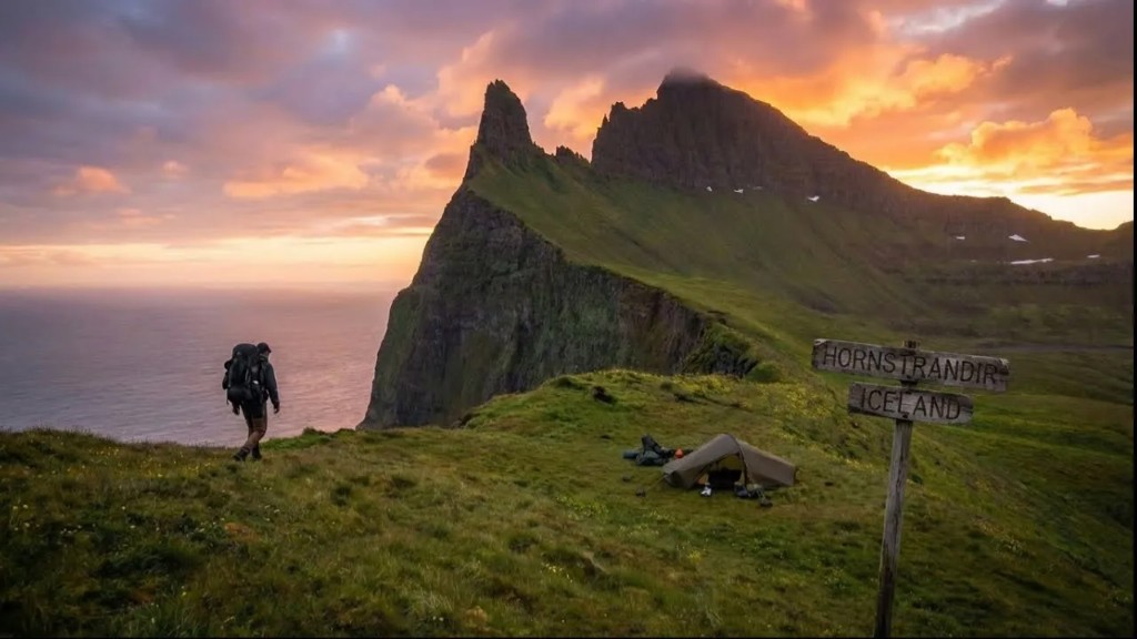
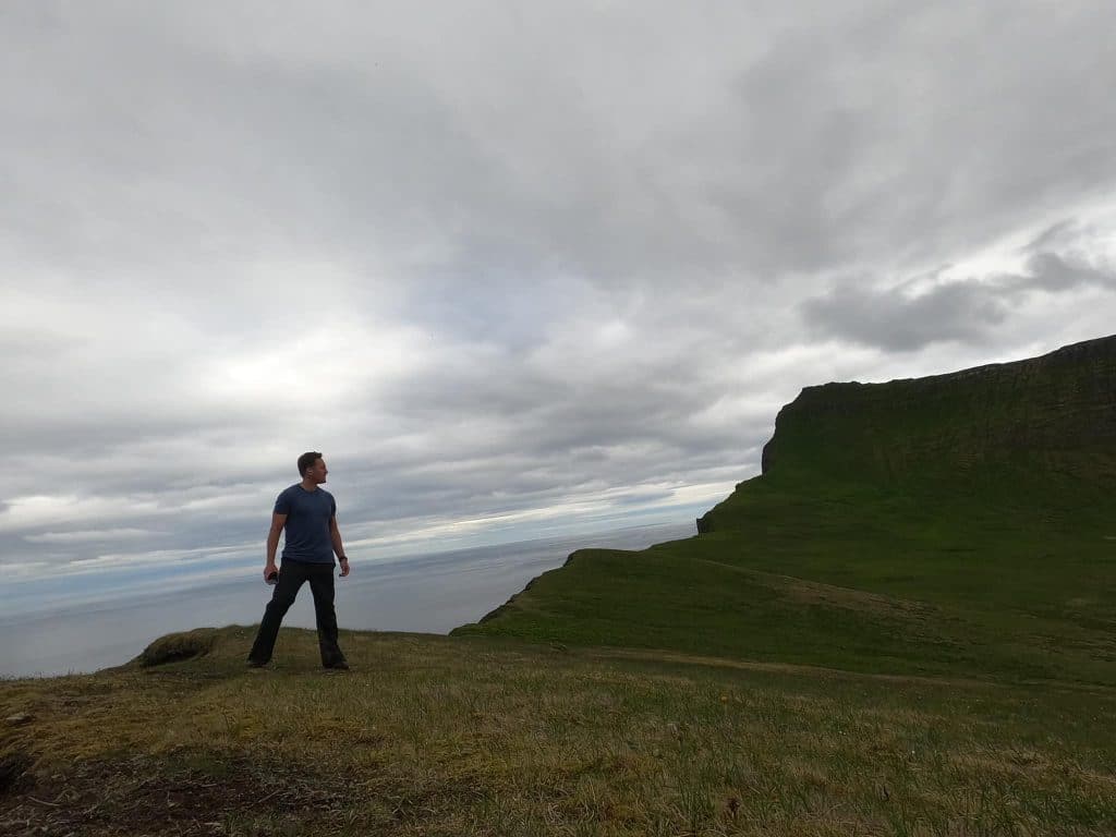
Waymarking
| Reality | Detail |
|---|---|
| Trail markers | None |
| Trodden path | Occasional; don't rely on it |
| Other hikers | Often zero — no breadcrumb trail |
| Maps | Offline GPS mandatory |
Unlike Laugavegur, there are no posts, wardens or daily briefings.
Navigation tools
1. Offline GPS / Komoot / AllTrails
- Download full route before the boat
- Lee used watch maps + phone backup
- Kraig Adams AllTrails map as reference
2. Paper map backup
- Westfjords / Hornstrandir hiking map
- Battery-free insurance in rain
3. Trekking poles
Balance on ice, snow slopes and river crossings — Lee crossed ice patches without crampons using poles.
Weather sources
| Source | Use |
|---|---|
| vedur.is | Icelandic Met Office — check nightly |
| Safetravel.is | Register trip + safety alerts |
| Boat operator | May cancel sailings in bad weather |
Lee's Day 4: climbed into cloud — grey world, shapes only metres ahead. Progress slowed to GPS waypoint to waypoint.
Where navigation gets tricky
Bog and faint paths
Day 1 — muddy, indistinct ground. GPS confirms direction when path disappears.
Ice and snow patches
Summer snow lingers on passes. Route choice matters — Lee crossed without crampons (not recommended; poles helped).
River crossings
| Rule | Why |
|---|---|
| Wide crossing point | Shallower, slower water |
| Unbuckle hip belt | Escape pack if swept |
| Face upstream | Poles for balance |
| Low tide (coastal) | Day 2 Horn approach — beach route |
Cliff exposure — The Horn
Day 2 loop — exposure and drop-offs. Navigation is path choice on cliff edges; turn back if uncomfortable.
Snow descent to Hesteyri
Day 5 — steep slippery slope. Slow, deliberate steps; poles planted deep.
Emergency / bail-out
- No roads — evacuation is boat or helicopter
- 112 — EU emergency number (limited signal)
- Register on Safetravel.is before departure
- Travel insurance with helicopter evacuation cover
- No hut wardens — you are entirely self-reliant
Offline checklist
- GPS route downloaded (phone + watch)
- Power bank charged
- Paper map in waterproof bag
- Trekking poles accessible
- Safetravel registration complete
- Boat operator has your schedule
Related planning
- Difficulty — whiteout and isolation
- Packing list — GPS and poles
- Getting there — boat timing
- Laugavegur navigation — marked trail contrast
Related guides
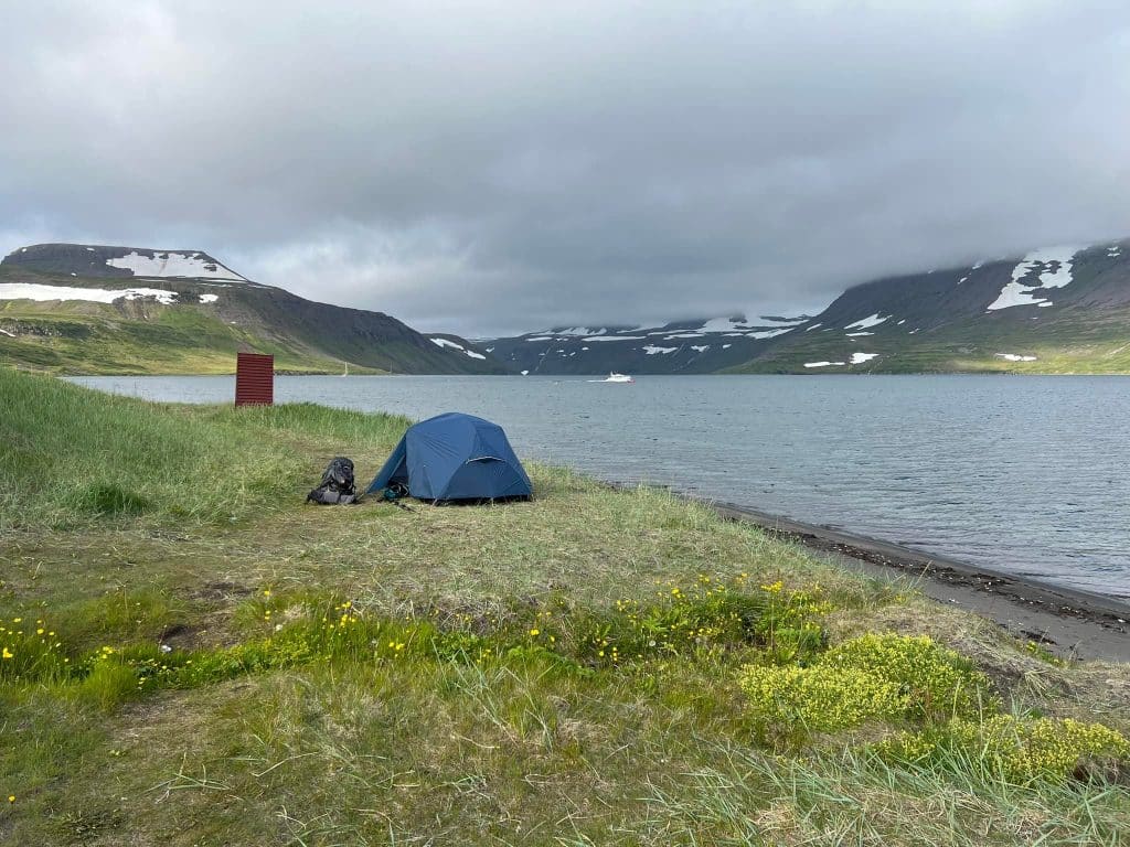
trek packing guide
Hornstrandir Packing List
Hornstrandir · 2 min read
Read guide →
trek complete guide
Hiking the Hornstrandir Trail, Iceland | Self-Guided Complete Guide
Hornstrandir · 30 min read
Read guide →
trek accommodation guide
Hornstrandir Accommodation: Wild Camping Guide
Hornstrandir · 2 min read
Read guide →