Laugavegur Navigation: Markers, Maps & Weather
How to navigate Laugavegur — waymarked highland trail, vedur.is weather, warden briefings and when fog hides the path.
Hiked by Lee
Self-guided
Last verified
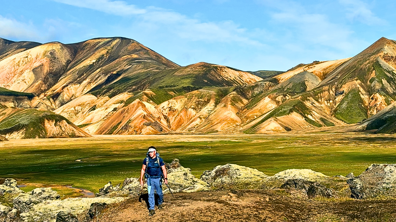
Laugavegur is well-marked and heavily trafficked in summer — you won't need mountaineering navigation skills. But fog, snow patches and river crossings still demand offline maps and daily weather checks.
Also read: Complete Guide · Itinerary · Trek overview
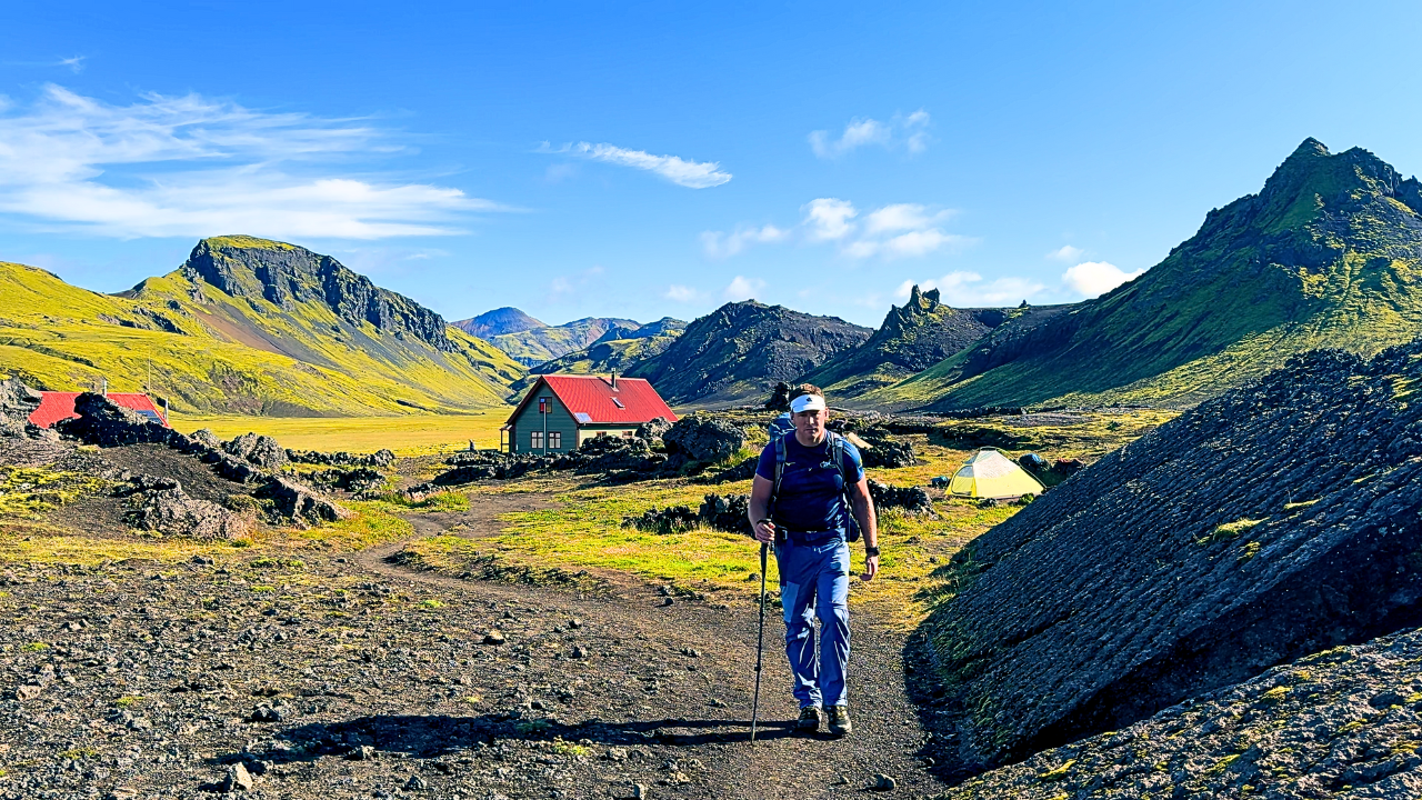
Waymarking
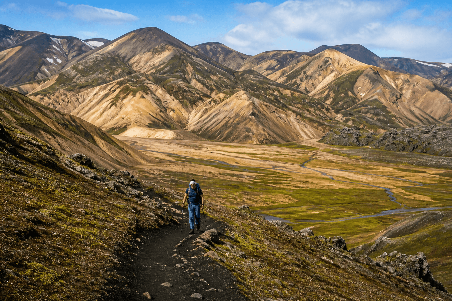
- Clear trail markers on posts and rocks
- Well-trodden path in peak season
- Multiple hikers = visual breadcrumb trail
- Still carry offline map — weather can reduce visibility to metres
Navigation tools
1. Offline GPS / Komoot
- Download full route before Landmannalaugar
- Works when markers disappear in mist
- Lee used GPS watch — see packing list
2. Paper map
- Laugavegur trail map or Icelandic hiking map
- Battery-free backup in rain
3. Hut wardens
Most important navigation source. Each morning:
- Check warden's weather update
- Ask about river levels and route conditions
- Never skip the briefing
Weather sources
| Source | Use |
|---|---|
| vedur.is | Icelandic Met Office — check nightly |
| Hut warden | Local conditions, wind on plateau |
| Safetravel.is | Safety info and alerts |
Lee's Day 2: warden sent hikers out before conditions worsened.
Where navigation gets tricky
Hrafntinnusker plateau
Snow patches, fog, wind — markers still there but visibility poor. Trekking poles help on snow bridges.
River crossings
Not map problems — route choice problems:
- Cross where river is widest (shallower, slower)
- Face upstream, use poles
- Unbuckle pack hip belt
- Sandals ready in pack
Lee crossed Kaldaklofskvísl and Bratthálskvísl on Day 2; widest crossing on Day 4.
Descent to Þórsmörk
Forest section — path clear but tiring. Easy to rush and miss turnoffs to specific hut areas (Lee ended at Volcano Huts by happy accident).
Fimmvörðuháls extension
Separate marked trail from Þórsmörk to Skógar — more exposure, glacier views. See Fimmvörðuháls guide.
Emergency / bail-out
- No roads mid-trail except near some huts
- Wardens coordinate emergencies
- 112 is EU emergency number
- Safetravel registration recommended
Offline checklist
- Komoot / GPS route downloaded
- Phone + watch charged; power bank packed
- vedur.is bookmarked
- Trekking poles accessible for rivers
- Tell someone your hut schedule
Related planning
- Difficulty — weather is the real challenge
- Getting there — bus timing
- Itinerary — stage endpoints
- Packing list — poles and GPS
Next guide
After the Hike: Recovery, Lessons & What to Do Next
Post-trail recovery and lessons — first 48 hours, packing retrospectives, recovery towns Lee actually used, and links to plan your next hut trek.