Gokyo–EBC–Island Peak Navigation: Trails & Passes
How to navigate Gokyo EBC Island Peak — well-trodden Khumbu trails, Cho La pass, teahouse-to-teahouse routing and Island Peak glacier travel.
Hiked by Lee
Guided
Last verified
Khumbu main trails are well-worn and busy in season — you won't get lost between Lukla and EBC. Cho La and Island Peak are where navigation and guide expertise matter.
Also read: Planning guide · Itinerary · Trek overview
Trekking sections — easy navigation
| Section | Nav difficulty |
|---|---|
| Lukla → Namche | Easy — main highway |
| Namche → Gokyo | Easy — signed branch |
| Gokyo → EBC corridor | Easy–moderate |
| Gorak Shep → EBC | Easy — well trodden |
Peak season = visual breadcrumb trail of hikers. Still carry offline maps.
Navigation tools
1. Offline GPS / maps
- Download Khumbu region before Lukla
- Useful for daily distance and elevation tracking
- Backup if weather closes in
2. Guide / porter knowledge
Local guides know:
- Current trail conditions
- Which teahouse has space
- Cho La go/no-go decisions
- Side routes if passes close
3. Trekking poles
Descents from Gokyo Ri, Kala Patthar and Cho La — knee savers on 22 days.
Cho La Pass (5,420 m)
The critical navigation decision between Gokyo and EBC trails.
| Factor | Detail |
|---|---|
| When open | Spring (Mar–May) and autumn (Oct–Nov) |
| Difficulty | Moderate–hard; snow and ice common |
| Gear | Crampons, early start, poles essential when icy |
| Backup | Retrace via Machhermo → Namche → main EBC trail (+2–3 days) |
Never cross Cho La alone in poor visibility — guide judgment required.
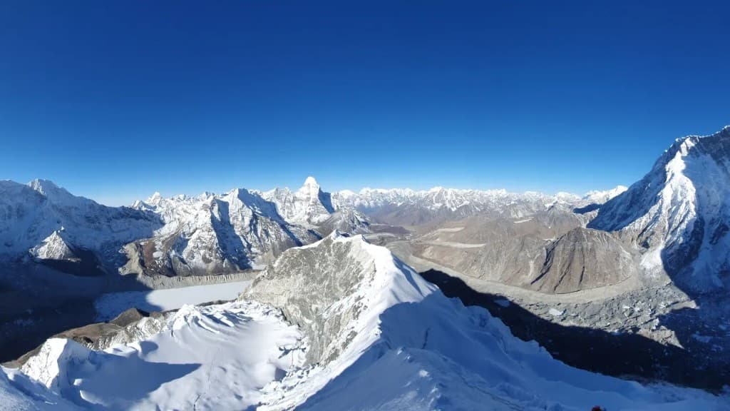
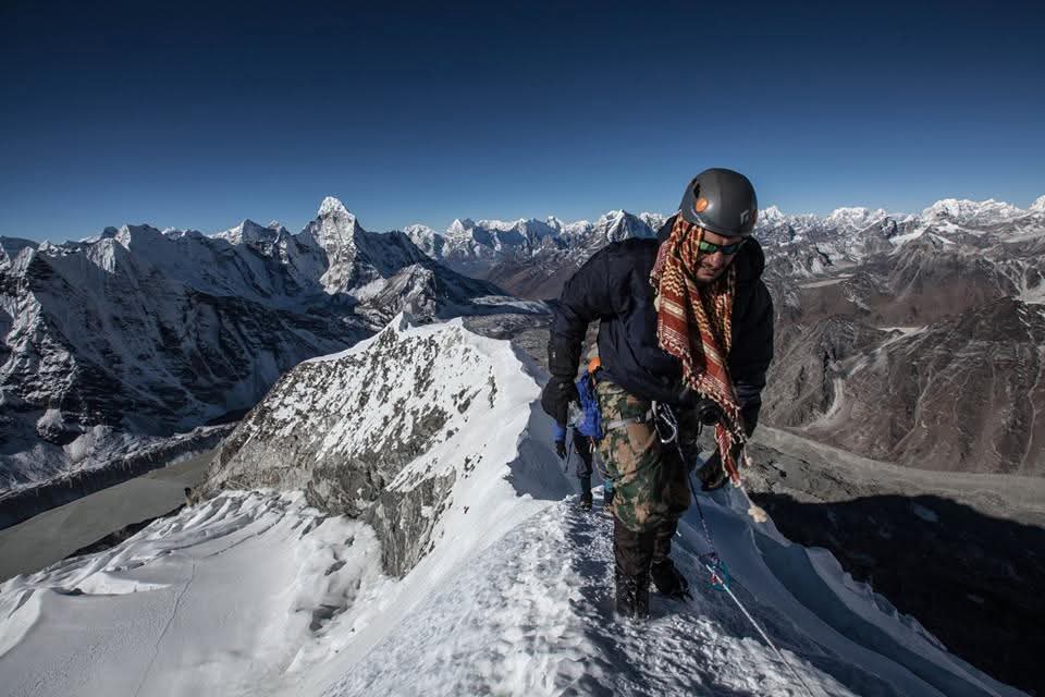
Island Peak navigation
| Section | Who leads |
|---|---|
| Trek to BC | Teahouse trail — easy |
| Glacier travel | Climbing guide — roped |
| Headwall fixed lines | Jumar / ascender technique |
| Summit ridge | Guide sets pace and turnaround time |
This is guided mountaineering — not self-navigation territory.
Key junctions
| Junction | Choice |
|---|---|
| Namche | Gokyo route (north) vs main EBC trail (east) |
| Gokyo | Gokyo Ri side trip vs continue to Cho La |
| Dzongla / Lobuche | Post-Cho La merge onto EBC trail |
| Dingboche | Fork toward Chhukung / Island Peak |
| Lukla exit | Descent route varies by operator |
Weather and visibility
- Afternoon clouds common — start early for viewpoints
- Kala Patthar and Gokyo Ri: pre-dawn starts
- Cho La: cross before snow softens
- Island Peak summit: midnight alpine start
Emergency navigation
- No roads — walk down or helicopter
- 112 works in Nepal with local SIM
- Helicopter evacuation — insurance + operator coordination
- Descend is always the AMS answer — don't climb higher sick
Offline checklist
- Khumbu map downloaded (Gaia, Maps.me, or Komoot)
- GPS watch or phone route loaded
- Guide confirmed for Cho La and Island Peak
- Backup route agreed if Cho La closes
- Power bank for device charging
Related planning
- Difficulty — Cho La and altitude
- Getting there — Lukla start
- Itinerary — route phases
- Packing list — poles and GPS
Related guides
trek packing guide
Gokyo–EBC–Island Peak Packing List
Gokyo, EBC & Island Peak · 3 min read
Read guide →
trek complete guide
Gokyo, Everest Base Camp & Island Peak Planning Guide
Gokyo, EBC & Island Peak · 16 min read
Read guide →
trek accommodation guide
Gokyo–EBC–Island Peak Accommodation: Teahouse Guide
Gokyo, EBC & Island Peak · 3 min read
Read guide →