Bernina Trek Navigation Guide: Maps, GPX & Waymarks
How to navigate the Bernina Trek — Swiss trail markers, offline GPX, Day 3 route-finding, closures, permits and safety.
Hiked by Lee
Self-guided
Last verified
Most of the Bernina Trek is well signed — Switzerland has excellent trail marking. Day 3 is the exception: rocky pass, slow navigation, and moments where I had to stop, check the map, and backtrack. This guide covers markers, GPX, closures and safety.
Also read: Complete Guide · Itinerary · Difficulty
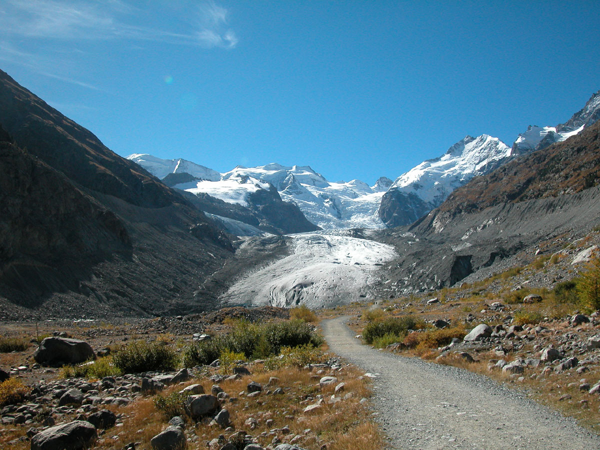
Navigation at a glance
| Question | Answer |
|---|---|
| Waymarked? | Yes — excellent on most stages |
| Permit required? | No trekking permit for standard summer route |
| Offline maps? | Essential — signal is patchy |
| GPX vs signs | Signs win when they conflict with old GPX |
| Hardest navigation | Day 3 rocky pass; farmland near Saoseo |
Swiss trail marking system
| Marker | Meaning |
|---|---|
| Yellow | Hiking trail |
| White–red–white | Mountain hiking trail — most of Bernina |
| White–blue–white | Alpine hiking trail — some harder sections |
Via Bernina follows established SAC / Engadin Tourism routing — look for Bernina Trek or Via Bernina signage at junctions.
Maps & apps
Before you start (in Pontresina)
- Download GPX from Engadin Tourism or trusted hiking apps
- Save offline map tiles for full 7-day corridor
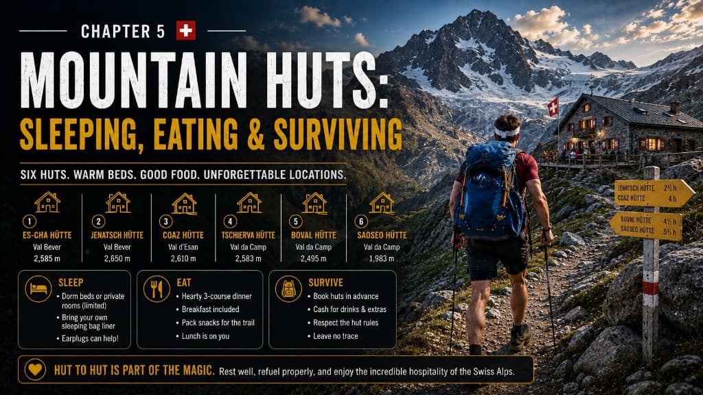
- Save all six hut locations as waypoints
- Charge phone + power bank fully
GPS watch
Garmin (or similar) track on wrist — useful when phone stays in pack on rocky Day 3. See packing list.
Paper backup (optional)
SwissTopo 1:25,000 sheets or Cicerone guide — nice if electronics fail.
GPX vs reality
Don't follow GPX blindly.
- GPX files don't know today's closure
- Official diversions override track on your phone
- When unsure: stop → check map → find last marker → backtrack if needed
Day 4 closure turned an 8 km day into 14 km — signs and hut staff knew the diversion; my old GPX didn't.
Closures & diversions
Check every evening at the hut:
- Engadin Tourism route updates
- Hut warden advice for tomorrow's pass
- Weather forecast for high sections
Val Roseg sections can reroute Stage 5 via Pontresina — built into official planning.
If warden says don't cross — don't cross. This isn't the moment for personal growth.
Day 3 — navigation focus
The day I genuinely had to concentrate:
- Huge rocks, steep gradients, trail less obvious
- Slow progress = 11-hour day
- Scrambling sections — poles stowed, hands used
- Corvatsch gondola exit well signed once you reach Surlej
Tips:
- Start before 6 a.m. if you ordered early breakfast
- Hike with another party if possible in poor visibility
- Turn back if clouds close in on the pass
Permits & regulations
| Topic | Bernina rule |
|---|---|
| Trekking permit | Not required for standard hut route |
| Hut booking | Required — not a trail licence |
| Wild camping | Restricted — use SAC huts |
| Drones | Check Swiss and cantonal rules |
| Path closures | Respect barriers — fines and safety risk |
Safety & emergency
| Resource | Number / action |
|---|---|
| Rega (air rescue) | 1414 |
| European emergency | 112 |
| Rega app | Recommended |
| Tell someone | Daily hut target if solo |
Weather rule: Serious forecast → call hut, wait, use train/gondola, change route. The goal is to get home.
On-trail navigation kit
- Phone with offline maps + GPX
- Power bank
- GPS watch (optional but useful)
- Headlamp for early starts
- Whistle + emergency blanket
- Hut phone numbers saved offline
Navigation mistakes to avoid
- Old GPX over current signs — trust diversion markers
- No offline download — Pontresina is last reliable Wi-Fi
- Ignoring hut warden — they know today's conditions
- Day 3 in cloud — turn back or wait
- No backup battery — cold drains phones fast
Related planning
- Itinerary — stage distances and transport exits
- Getting there — download maps in Pontresina
- Difficulty — Day 3 technical terrain
- Huts — ask warden each evening
Next guide
After the Hike: Recovery, Lessons & What to Do Next
Post-trail recovery and lessons — first 48 hours, packing retrospectives, recovery towns Lee actually used, and links to plan your next hut trek.