Bernina Trek Itinerary: 7-Day Stage Guide
Official 7-day Bernina Trek itinerary — km, ascent, hiking time and SAC hut stops from Madulain to Poschiavo, plus Lee's GPS days.
Hiked by Lee
Self-guided
Last verified
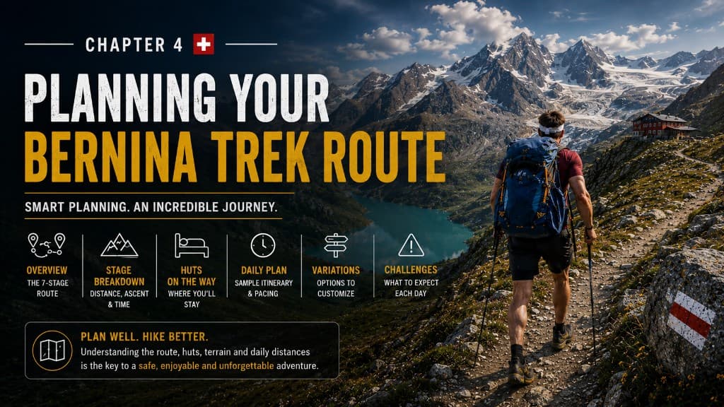
The Bernina Trek complete guide tells the full story — this page is the scannable hub: official 7 stages, distances, ascent and SAC hut stops from Madulain to Poschiavo.
Also read: Complete Guide · Huts · Trek overview
At a glance
| Classic distance | ~135 km |
| Classic ascent | ~6,186 m |
| Duration | 7 days · 6 hut nights |
| Start / finish | Madulain → Poschiavo |
| Lee's GPS total | ~146 km · ~6,000 m (detours + long cuts) |
Official 7-day itinerary
| Day | Stage | Distance | Ascent | Time* | Overnight |
|---|---|---|---|---|---|
| 1 | Madulain → Chamanna d'Es-cha | 5.9 km | +897 m | ~2h 40 | Es-cha |
| 2 | Es-cha → Chamanna Jenatsch | 23.9 km | +1,090 m | ~8 h | Jenatsch |
| 3 | Jenatsch → Chamanna Coaz | 28.2 km | +1,749 m | ~8h 45 | Coaz |
| 4 | Coaz → Chamanna da Tschierva | 13.4 km | +663 m | ~4h 50 | Tschierva |
| 5 | Tschierva → Boval | 22 km | +705 m | ~6h 40 | Boval |
| 6 | Boval → Rifugio Saoseo | 28.4 km | +772 m | ~9 h | Saoseo |
| 7 | Saoseo → Poschiavo | 14.2 km | +316 m | ~4h 30 | Finish |
*Official Engadin Tourism times. Classic totals: ~135 km · ~6,186 m · ~44 hours.
Lee's actual days (GPS)
| Day | Lee's distance | Lee's ascent | Lee's time | Notes |
|---|---|---|---|---|
| 1 | 8 km | +900 m | ~4 h | Train to Madulain; heavy pack |
| 2 | ~25 km | +1,200 m | ~8.5 h | Brutal descent to Jenatsch |
| 3 | ~30 km | +1,300 m | ~11 h | Hardest day; Corvatsch gondola CHF 31 |
| 4 | ~14 km | +700 m | ~4.5 h | Trail closure detour; storm at hut |
| 5 | 24.3 km | +800 m | ~7.5 h | Through Pontresina resupply |
| 6 | 34.5 km | +1,026 m | ~9.5 h | Too much road — use RhB shortcuts |
| 7 | 14.3 km | +320 m | ~4.5 h | Sunrise at Saoseo; finish Poschiavo |
Stage highlights
Day 1 — Don't underestimate "short"
Only 6 km official — but ~900 m climb. Forest opening to Engadin views, then rocky push to Es-cha. Hot shower and four-course dinner.
Day 2 — First big day
Long valley, lake lunch stop, then steep rocky descent before the climb to Jenatsch beside a glacier. No shower.
Day 3 — The crux
Rocky pass, slow navigation, scrambling descents. Corvatsch gondola (Surlej → Murtèl) is part of the classic route — take it. Clouds building toward Coaz.
Day 4 — Recovery (unless closed)
Officially the easiest stage. Trail closure turned mine into 14 km with backtracking. Major storm — glad I arrived early at Tschierva.
Day 5 — Civilisation
Detour through Pontresina — second breakfast, pharmacy, Morteratsch glacier trail. Busy with day hikers near Boval.
Day 6 — Use transport
Classic route includes RhB train options Pontresina–Lagalb. I walked 34.5 km including road — don't. Accidental Italy lunch en route. Saoseo has the best shower.
Day 7 — Finish
Early climb, forest descent into Poschiavo. Railway station at the finish line.
Planning notes
- Day 3 is the big one — start early, use gondola, order packed lunch
- Check closures nightly — Stage 4 and Val Roseg can reroute you
- Split Stage 6 if 28+ km feels too long — add 8th night or train hop
- Corvatsch gondola isn't cheating — it's in the official itinerary
Shorter / longer options
| Option | How |
|---|---|
| 8 days | Split Day 3 or Day 6 with extra hut night |
| Easier Day 3 | Gondola + earlier start |
| Easier Day 6 | RhB Pontresina ↔ Lagalb |
| Skip road walking | Check Engadin Tourism diversions daily |
Related planning
- Difficulty — fitness for 25–30 km days
- Navigation — closures and GPX
- Cost guide — gondola and hut prices
- Getting there — train to Madulain
Next guide
Bernina Trek Cost Guide: CHF Budget Breakdown
How much does the Bernina Trek cost? Real CHF budget for SAC hut half board, Corvatsch gondola, lunches and the 7-day Via Bernina.