Ben Nevis Navigation: Maps, Mist & MWIS
How to navigate Ben Nevis — Mountain Track waymarking, summit plateau in cloud, offline maps and Mountain Weather Information Service.
Hiked by Lee
Self-guided
Last verified
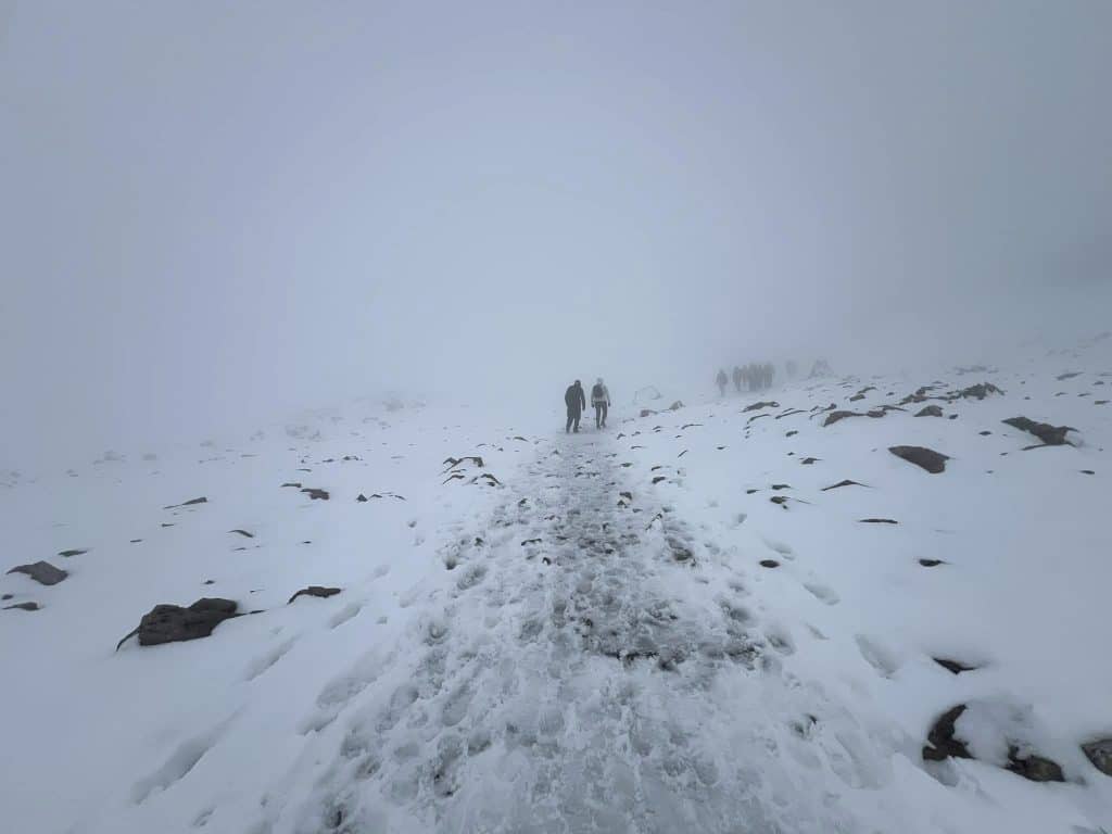
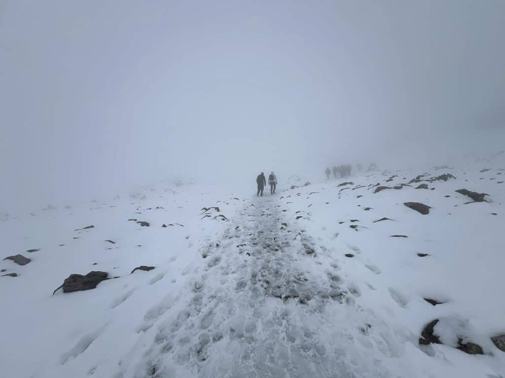
The Mountain Track is well trodden and waymarked — until cloud drops on the summit plateau. Lee had only metres of visibility near the top; offline maps and poles kept the day safe.
Also read: Complete Guide · Difficulty · Trek overview
Waymarking
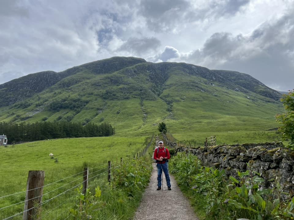
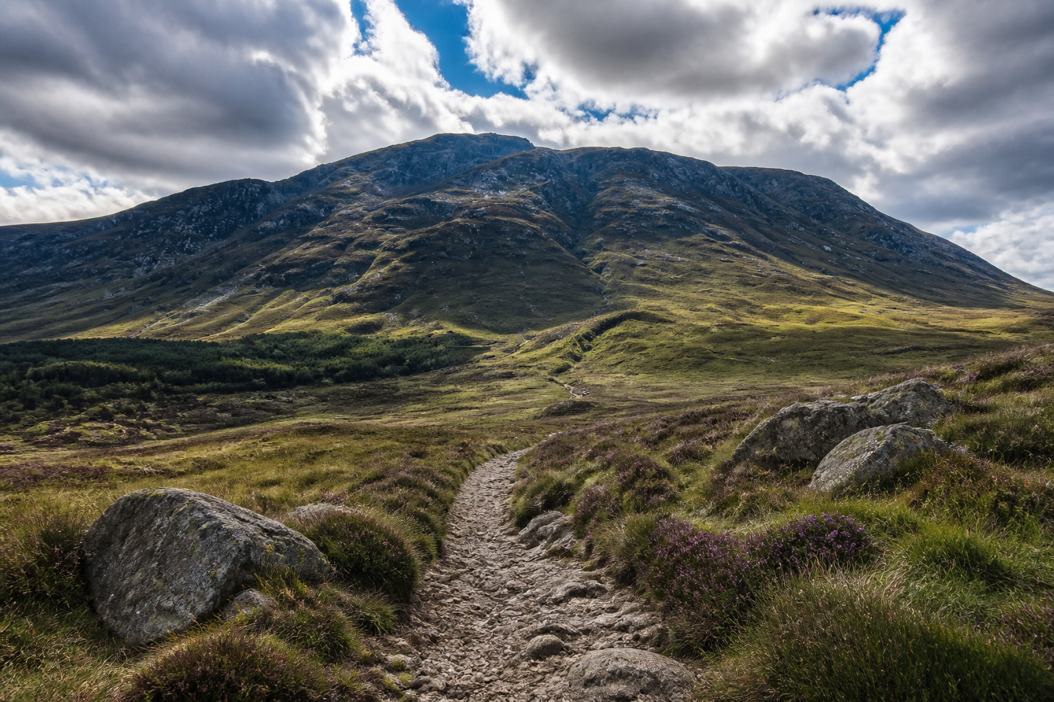
- Clear path from Glen Nevis Visitor Centre
- Stone steps and switchbacks on lower/mid mountain
- Cairns and posts on upper sections
- Summit plateau — path less obvious in mist; cliff edges nearby
Don't leave the Mountain Track for "shortcuts" in poor visibility.
Navigation tools
1. Offline map / GPS
Download the full route before leaving WiFi:
Komoot, OS Maps or similar — phone battery dies fast in cold.
2. Compass
Lee carried one as backup; didn't need it on a clear lower path but good insurance in whiteout.
3. Visitor centre briefing
Check conditions morning of hike — staff know today's cloud base and wind.
Weather sources
| Source | Use |
|---|---|
| MWIS | Mountain Weather Information Service — essential |
| Met Office | Regional forecast |
| Visitor centre | Local conditions at trailhead |

Lee's climb: sunshine at base → ice and mist on upper mountain within hours.
Where navigation gets tricky
Summit plateau
Broad, rocky, often in cloud. Stay on the main path to the trig point — gullies and cliffs lie close to the route in poor visibility.
Snow patches
Even summer — treat as slippery slopes. Poles help:
Descent
Easy to rush and lose footing on loose rock. Pace the downhill; knees and ankles thank you.
Emergency
- 999 or 112 for emergency services
- Mountain Rescue — don't hesitate if injured or lost
- Tell someone your route and expected return time
Winter and CMD Arete routes need mountaineering skills — this guide covers Mountain Track only.
Offline checklist
- Route downloaded on phone/watch
- MWIS checked within 24 h of hike
- Power bank charged
- Whistle and foil blanket in pack
- Turn back if visibility + conditions deteriorate
Related planning
- Difficulty — when to postpone
- Packing list — GPS and poles
- Itinerary — daylight hours
- Getting there — visitor centre start