trek difficulty guide
How Hard Is Ben Nevis? Difficulty & Fitness
Ben Nevis difficulty — challenging 17 km summit day, 1,300 m gain, Scottish weather exposure and who the Mountain Track suits.
By Lee2 min read
Hiked by Lee
Self-guided
Last verified
Ben Nevis is the UK's highest peak — the Mountain Track is the "easy" route, but don't let the name fool you. 17 km, 1,300 m gain and Scottish weather make it a serious summit day, not a tourist stroll.
Also read: Complete Guide · Itinerary · Trek overview
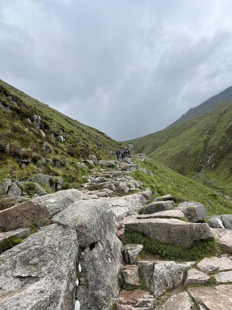

Difficulty at a glance
| Factor | Ben Nevis reality |
|---|---|
| Overall | Challenging |
| Technical | None on Mountain Track |
| Distance | ~17 km round trip |
| Elevation gain | ~1,300 m |
| Time on feet | 6–8 hours |
| Main challenge | Weather + endurance |
| Navigation | Easy path — hard in cloud |
What makes it hard
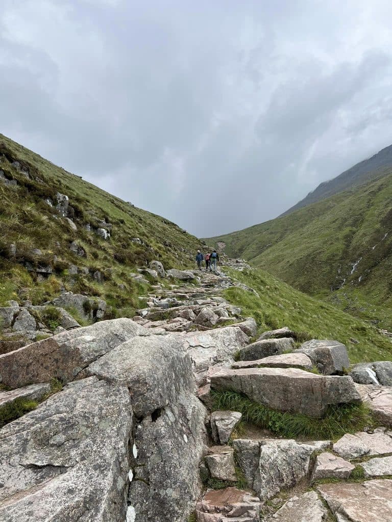
- Relentless ascent — switchbacks that never seem to end
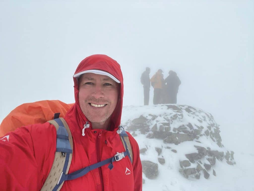
- Weather — sun at base, ice and mist at summit
- Upper plateau — snow, rock and poor visibility
- Descent — steep, knee-heavy, slippery when wet
- Duration — long day on your feet with a pack
Lee's halfway thought: "This isn't so bad!" — the upper mountain proved otherwise.

Who is it for?
Great fit if you:
- Can hike 5–6 hours comfortably with a pack
- Have waterproof kit and know how to layer
- Accept you may summit in cloud with no view
- Can start early and pace steadily
Reconsider if you:
- Are completely new to hiking
- Have no waterproof clothing or boots
- Plan a late start in questionable weather
- Expect a clear summit guarantee
Compared to other UK hikes
| Hike | vs Ben Nevis |
|---|---|
| Ben Lomond | Shorter, less elevation |
| Snowdon | Similar crowd; Ben Nevis higher and longer |
| Skye Trail | Multi-day; Ben Nevis is one big day |
| CMD Arete | Far harder — scrambling route |
Training (4–8 weeks out)
| Focus | How |
|---|---|
| Hills & stairs | Simulate 1,300 m gain |
| Long hikes | Build to 5–6 hour days |
| Pack weight | Train with 5–8 kg |
| Rain practice | Scottish weather won't wait |
| Poles | Learn before summit day |
Making it easier
- Start at 7–8 am — crowds and weather build later
- Use trekking poles — especially descending
- Check MWIS — postpone if forecast is poor
- Pack light but don't skip layers
- Take breaks — it's not a race
Related planning
- Navigation — cloud on the plateau
- Packing list — waterproofs and poles
- Itinerary — pacing the day
- Weather prep — full guide section
Next guide
Ben Nevis Navigation: Maps, Mist & MWIS
How to navigate Ben Nevis — Mountain Track waymarking, summit plateau in cloud, offline maps and Mountain Weather Information Service.