Mullerthal Trail Navigation: Waymarks, Maps & Trail Signs
How to navigate the Mullerthal Trail — red M waymarks, Route 1–3 signs, offline maps, GPS and Lee's navigation tips for Luxembourg's Little Switzerland.
Hiked by Lee
Self-guided
Last verified
The Mullerthal Trail is a Leading Quality Trails — Best of Europe path — excellent red M waymarks on the main routes and orange M for ExtraTours. Getting seriously lost is rare, but forest junctions, route choice (1 vs 2 vs 3) and phone battery still matter.
Also read: Complete Guide · Itinerary · Trek overview
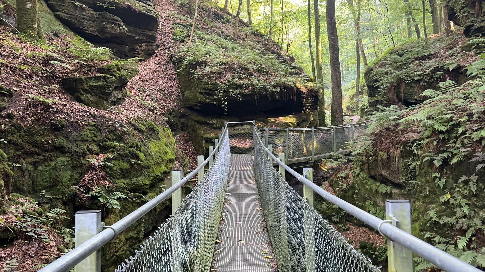
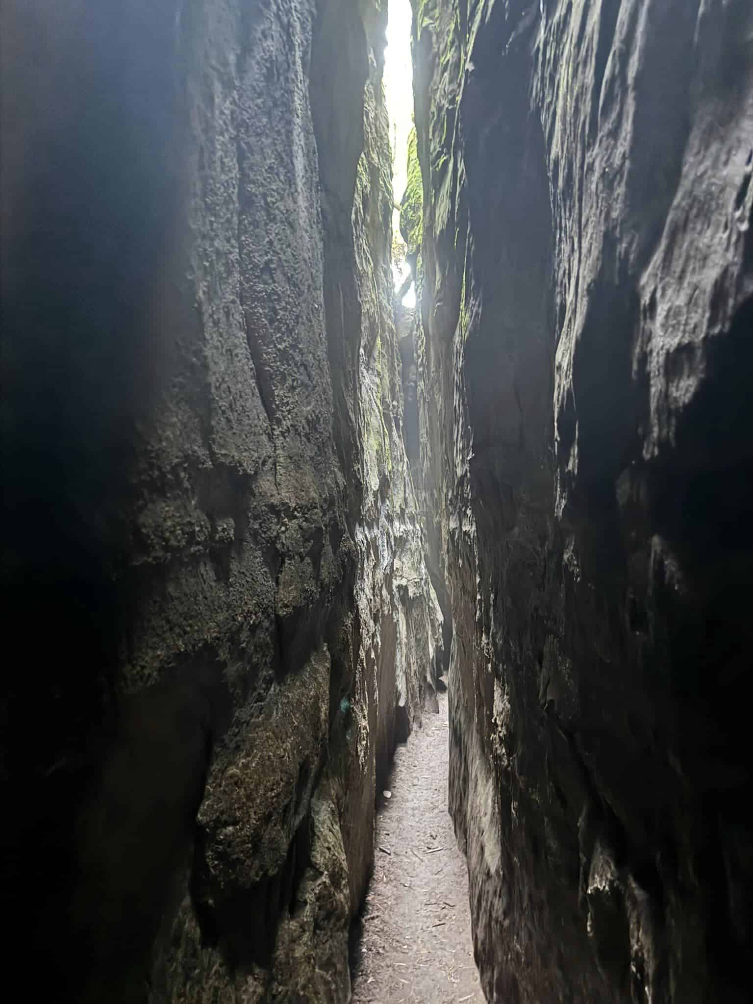
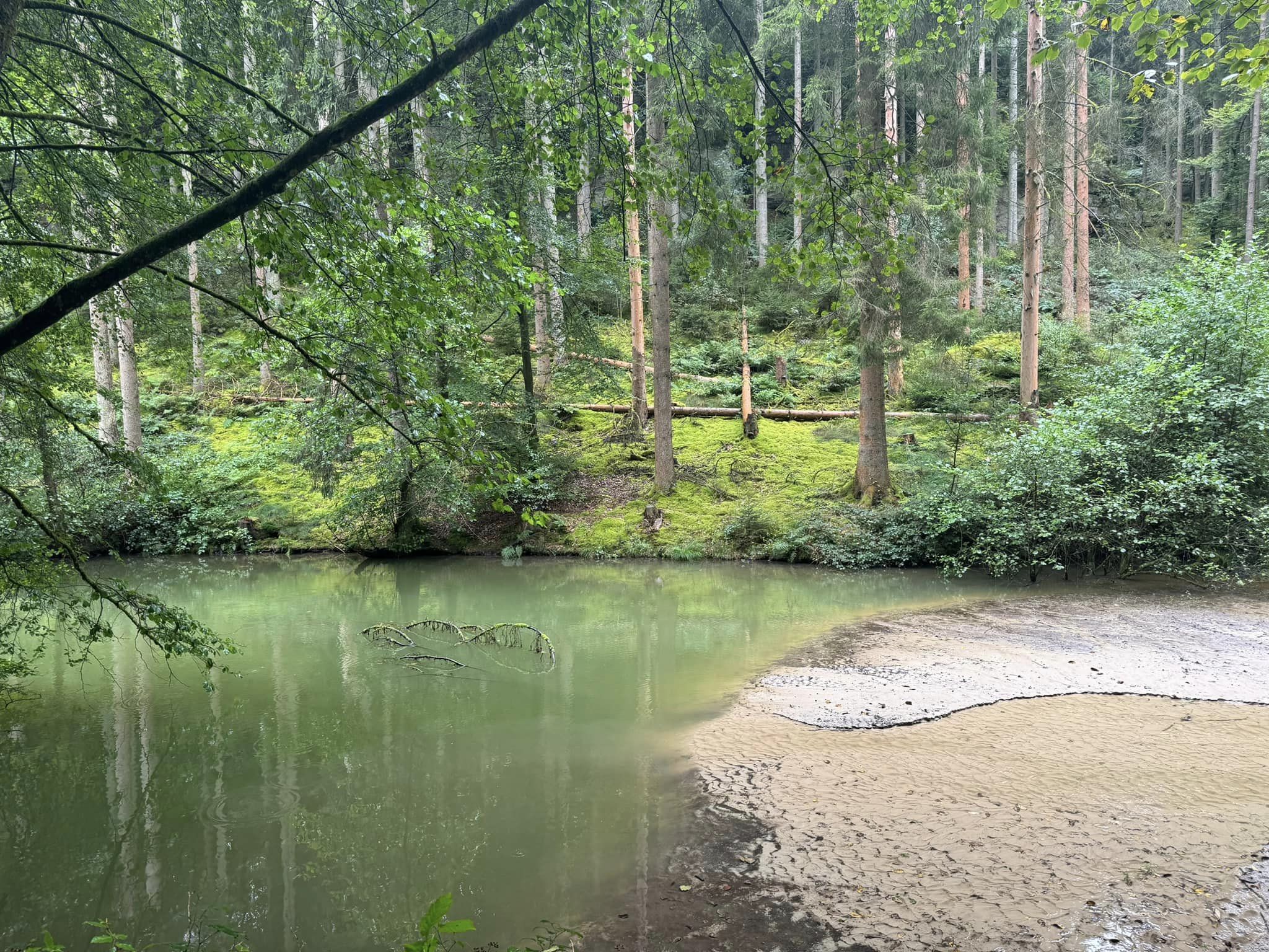
Waymarking system
| Marker | Meaning |
|---|---|
| Red M | Main Mullerthal Trail route |
| Orange M | ExtraTour variants (Routes B, C, D) |
| Route numbers | Routes 1, 2, 3 — each ~37–38 km loop section |
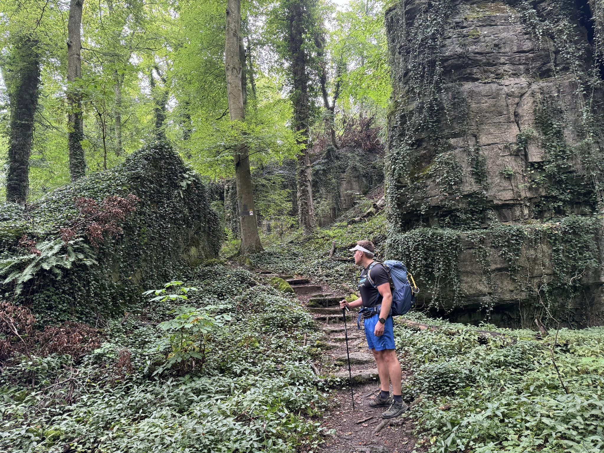
Signposts appear on trees, posts and rocks — frequent in forest, obvious near villages like Echternach, Consdorf, Larochette and Beaufort.
Navigation tools
1. Official hiking map
Paper or digital Mullerthal region map — useful for seeing how Routes 1–3 connect. Lee used a phone app to track progress and plan detours.
2. Komoot / GPS app
- Download offline maps for eastern Luxembourg
- Search "Mullerthal Route X" for community GPX tracks
- Check position every 30–60 min in dense forest
3. Phone + power bank
Lee used his phone for maps and photos — crashed a drone into a tree on Day 3 (not navigation-related, but a reminder to watch surroundings). Headlamp essential for campsite arrival after dark.
Choosing your route
The trail splits into three main loops — know which you're following each day:
| Route | Focus | Navigation note |
|---|---|---|
| Route 1 | History, Echternach | Gentler navigation |
| Route 2 | Rock formations | Steeper, more junctions in cliffs |
| Route 3 | Valleys, vistas | Open farmland — sun exposure, fewer shade cues |
Lee's 6-day itinerary linked sections across all three — plan overnight towns to match your chosen path.
Where navigation gets tricky
Forest density
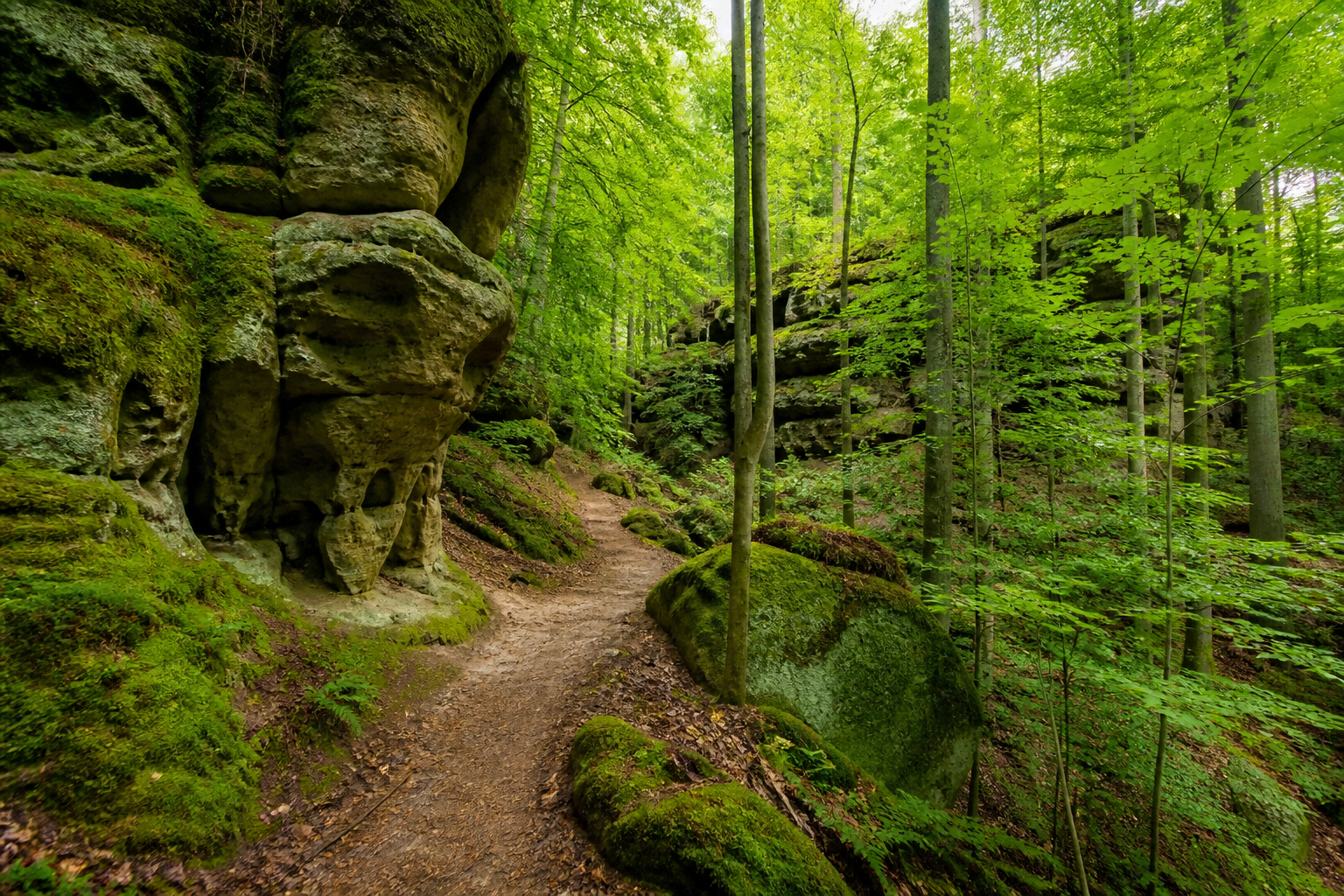
Long shaded stretches look similar — trust red M markers; don't follow unmarked side paths.
Rock squeezes
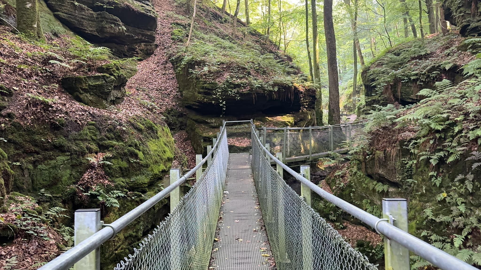
Narrow passages (Day 3) funnel you one way — markers usually just before/after squeezes.
Cross-border (Day 1)
Brief Germany crossing at Moersdorf — trail continues; follow signs to campsite.
Detours for food
Lee detoured to a riverside campsite for lunch — note your return point on the map.
Wild camping note
Wild camping is illegal in Luxembourg — navigation planning should end at official campsites or towns.
Safety basics
- Tell someone your daily end point
- Free buses bail-out option between villages
- Rain makes rocks slippery — slow down on descents
- Start early in summer — heat affects decision-making
Related guides
Next guide
After the Hike: Recovery, Lessons & What to Do Next
Post-trail recovery and lessons — first 48 hours, packing retrospectives, recovery towns Lee actually used, and links to plan your next hut trek.