How Hard Is the Mullerthal Trail? Difficulty & Fitness Guide
Mullerthal Trail difficulty — moderate 112 km trek, 500–600 m daily gain, rocky terrain, summer heat and who it's right for.
Hiked by Lee
Self-guided
Last verified
The Mullerthal Trail is moderately challenging — not alpine technical, but long days, rocky terrain, narrow squeezes and summer heat add up. Lee rates it accessible for hikers with moderate fitness who can handle 4–8 hours on trail daily.
Difficulty at a glance
| Factor | Mullerthal | vs Alps hut treks |
|---|---|---|
| Technical skill | Low — no scrambling grade | Easier |
| Daily distance | 12–25 km | Similar |
| Daily elevation | 260–630 m | Lower |
| Exposure | Forest + some open farmland | Less altitude risk |
| Heat (summer) | 30°C+ exposed sections | Can be harder than Alps |
| Navigation | Well marked (red M) | Easier |
Official rating: Leading Quality Trails — Best of Europe; moderate overall.
What makes it hard
Terrain
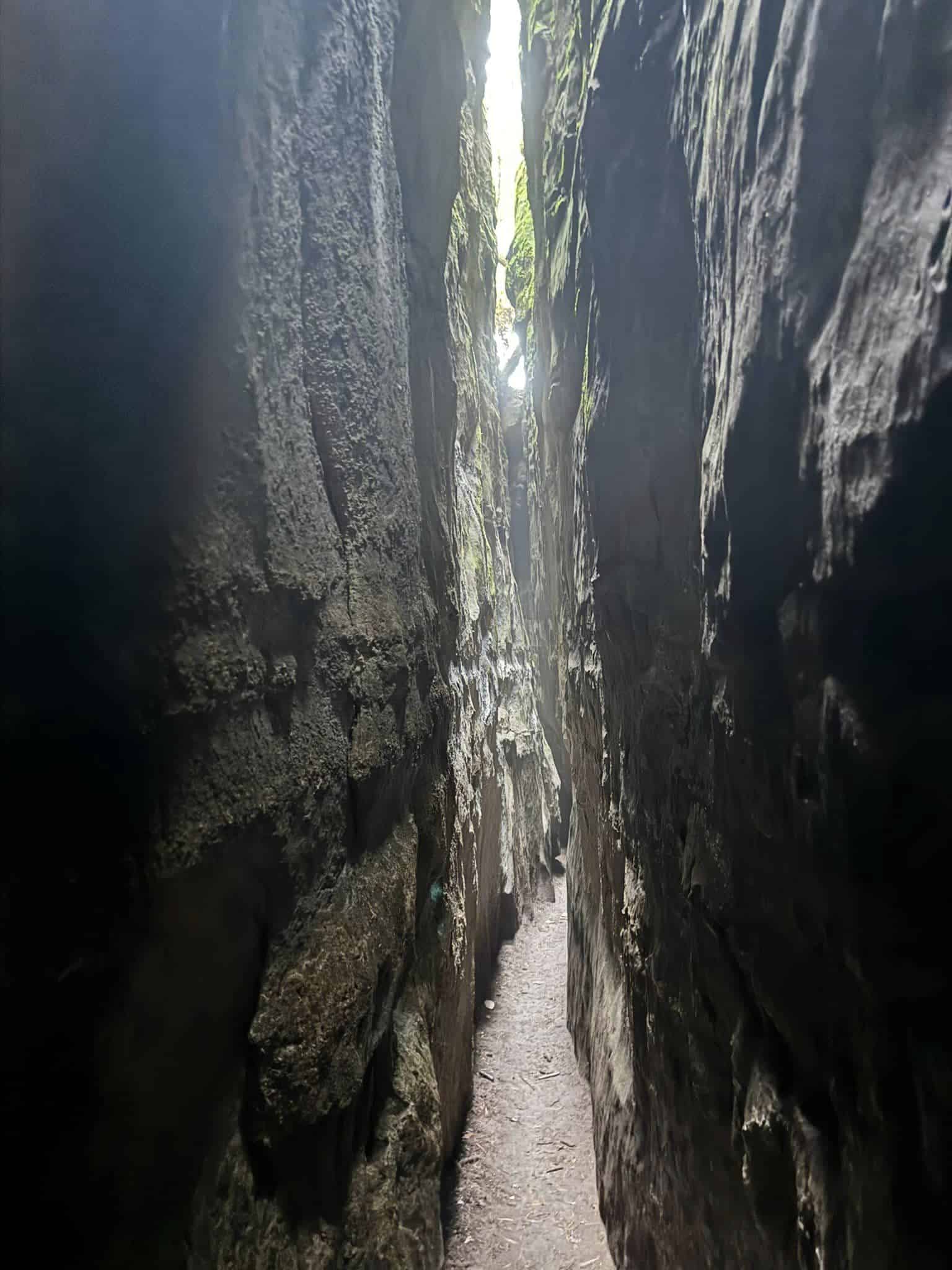
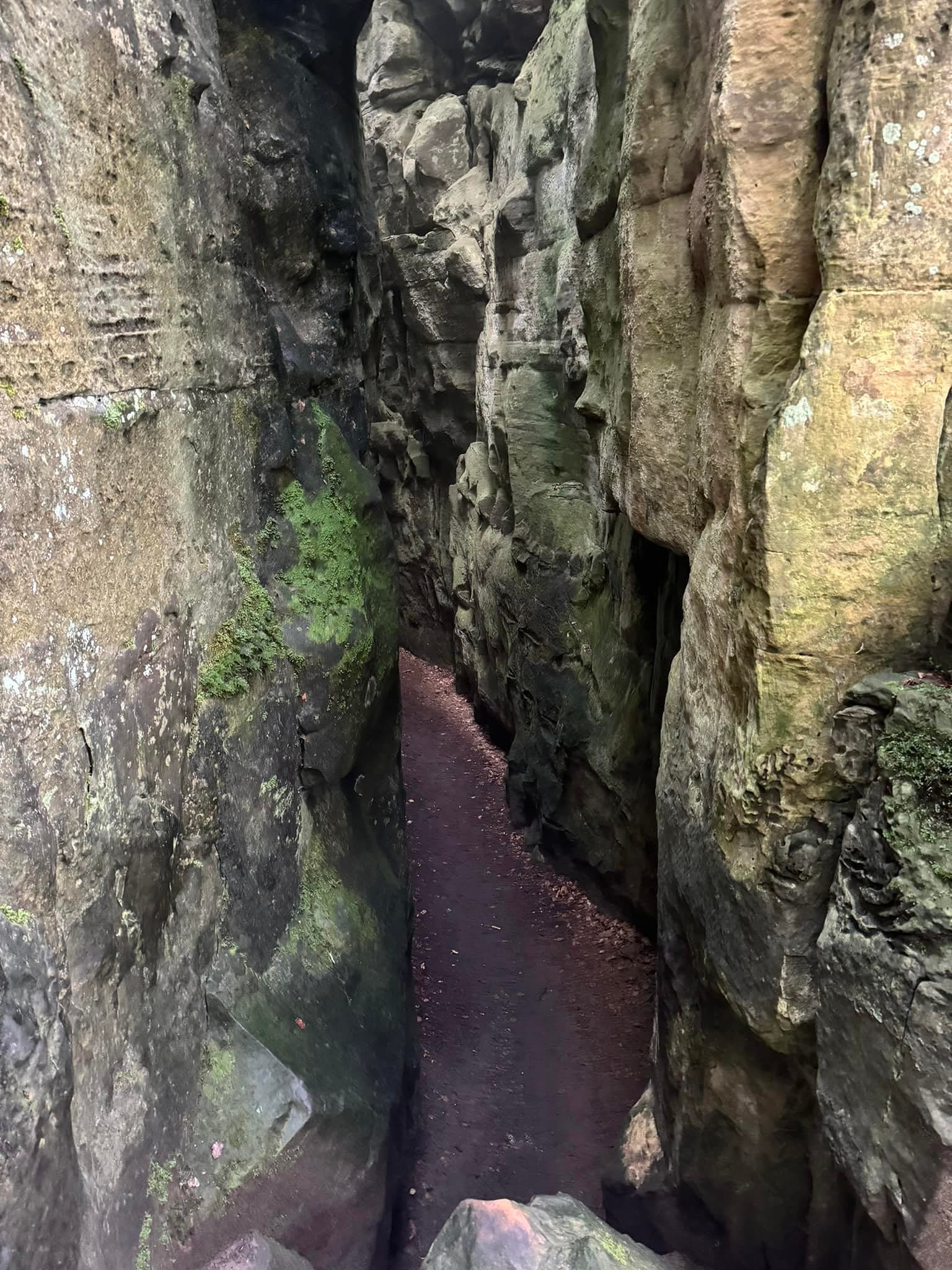
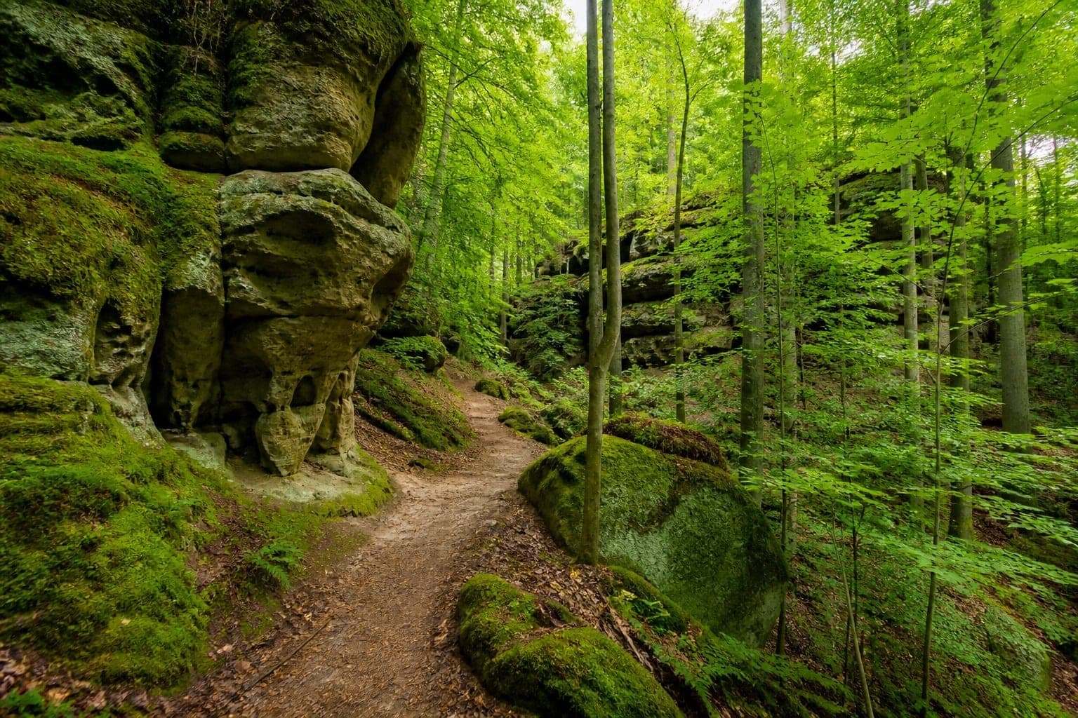
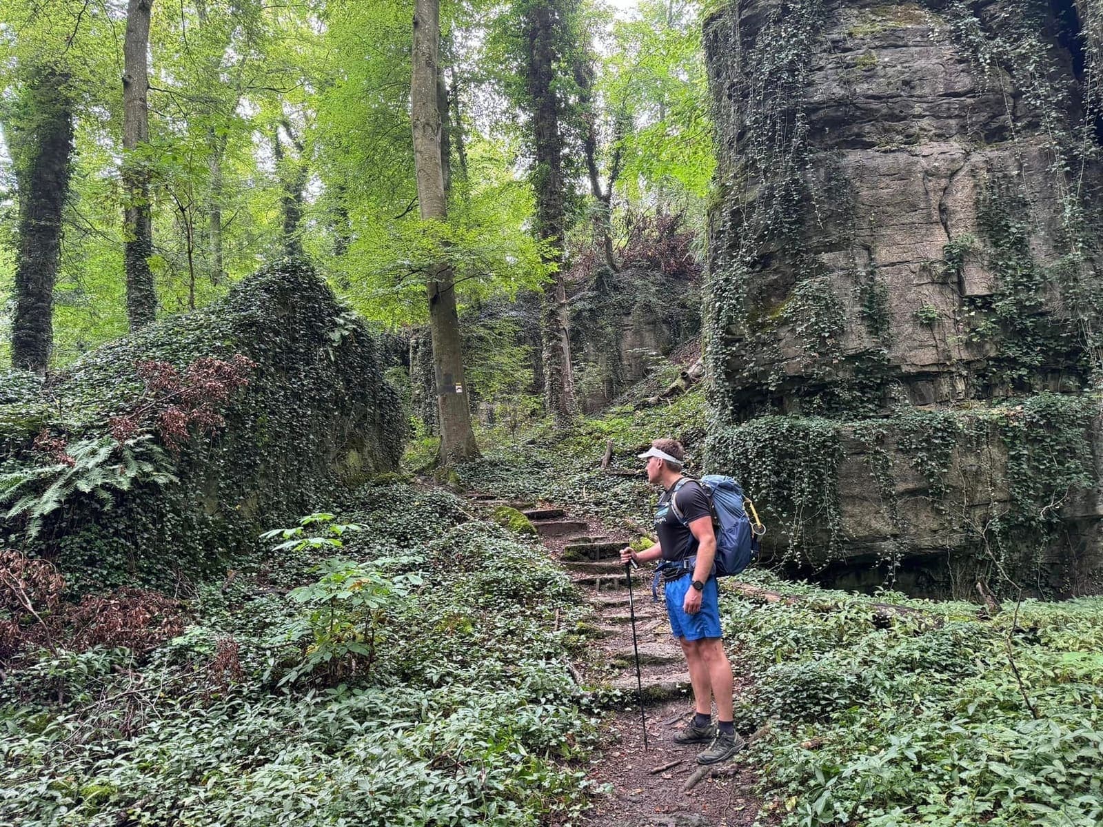
- Rocky paths, exposed roots, narrow rock squeezes (Day 3 highlight)
- Steep ups and downs on Route 2 — more than Route 3
- Rain makes rocks slippery (Lee's finale downpour)
Distance & duration
- 112 km full trail in 4–6 days
- Lee's longest day: 24.5 km / 8 hours (Day 4)
- Shortest: 12.5 km / 4 hours (Day 5 recovery)
Weather
- Summer heat turned Day 1 and 2 into grinds — start by 7 am
- Fall (Lee's favourite) — cooler, autumn colours, shorter days
- Sudden rain — pack waterproofs
Pack weight
Lee's pro tip: under 6 kg when using cabins makes a huge difference. Heavy camping kit on hot days is the main self-inflicted difficulty.
Who it's right for
Good fit:
- First multi-day trekkers with some day-hike experience
- Hikers wanting European scenery without hut booking stress
- Solo hikers — Lee had long quiet stretches
Reconsider if:
- You struggle with heat — avoid July–August midday or hike fall/spring
- You need flat trails — elevation and rocks are constant
- You want alpine altitude — this is sandstone forest, not 3,000 m passes
Training tips
- Build to 15–20 km day hikes with a loaded pack
- Practice on uneven, rocky trails — not just flat paths
- Train legs and core — squats, lunges, planks
- Hike with your actual pack weight before departure
- Mental stamina — 6 consecutive days adds up
Route difficulty by section
| Route | Difficulty | Notes |
|---|---|---|
| Route 1 | Moderate | History, villages, forests |
| Route 2 | Moderate–hard | Best rocks, steeper |
| Route 3 | Moderate | Gentler valleys |
| ExtraTours | Easy–moderate | 5–13 km half-days |
Related guides
Packing list · Navigation · Complete guide
Official resources
Cross-check dates, fees and trail rules with primary sources before you travel:
Visit Luxembourg — Mullerthal · Mullerthal Trail official
Difficulty context for Mullerthal Trail
Difficulty here is fitness plus terrain plus weather on the day — not a single brochure label. Train on hills with a loaded pack before committing to 6-day stages.
| Fact | Detail |
|---|---|
| Distance | ~112 km |
| Duration | ~6 days |
| Difficulty | moderate |
| Style | a mix of huts, hotels and camping |
| Waymarked | Yes |
Frequently asked questions
How fit is enough?
Comfortably hike a long day with elevation at home before Mullerthal Trail. "moderate" on paper can feel harder with a full pack in heat or fog.
Is this trek technical?
Check whether the official route includes exposed sections, river crossings or snow. Weather can upgrade difficulty quickly in Luxembourg.
Can beginners do this?
Some groups manage with training and shorter stages. Be honest about fear of heights, cold and navigation before committing to Mullerthal Trail.
What slows groups down most?
Photo stops, river waits, pack adjustments and fog — not fitness alone. Start early on the crux day even if yesterday felt easy.
Decision checklist for Mullerthal Trail
- Train to the moderate difficulty with a loaded pack
- Identify the hardest stage before booking flights
- Plan bail options for bad weather days
Before booking Mullerthal Trail
Lock non-refundable pieces — permits, key lodging, and transport into Luxembourg — only after the stage plan is realistic.
Before departure, walk through food, water, navigation and shelter against the longest stage, then use the packing list builder and cost calculator as a second pass — and still verify prices and rules on official websites.
Continue planning Mullerthal Trail
Mullerthal Trail Accommodation: Campsites, Cabins & Hostels · Mullerthal Trail Cost Guide: Budget in EUR · Mullerthal Trail Food Guide: Campsite Meals & Village Stops · Getting to the Mullerthal Trail: Echternach & Luxembourg Access · Mullerthal Trail Itinerary: 6-Day Route & Stage Options · Mullerthal Trail Luxembourg | Self-Guided Complete Guide · Trek overview
Use the Packing List Builder, Trek Cost Calculator and Trek Comparison when your dates are firm.
Next guide
Mullerthal Trail Navigation: Waymarks, Maps & Trail Signs
How to navigate the Mullerthal Trail — red M waymarks, Route 1–3 signs, offline maps, GPS and Lee's navigation tips for Luxembourg's Little Switzerland.
Related guides
trek accommodation guide
Mullerthal Trail Accommodation: Campsites, Cabins & Hostels
Mullerthal Trail · 5 min read
Read guide →
trek cost guide
Mullerthal Trail Cost Guide: Budget in EUR
Mullerthal Trail · 5 min read
Read guide →
trek food guide
Mullerthal Trail Food Guide: Campsite Meals & Village Stops
Mullerthal Trail · 5 min read
Read guide →