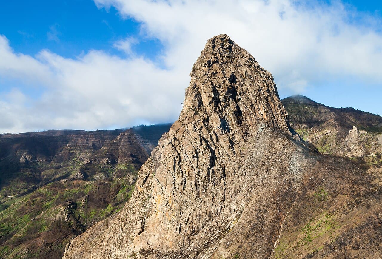
La Gomera Ultimate Hiking Guide
Planning a La Gomera through-hike? GR131 vs GR132, 5-day route, accommodation, costs, heat, packing and first-hand notes from a solo February crossing of the Canary Islands.
Hiked by Lee
Self-guided
Last verified
If you're looking for one of the most underrated hiking destinations in Europe, La Gomera might be exactly what you're searching for.
Volcanic mountains. Tiny villages. Jurassic Park-style laurel forests. Massive coastal cliffs. Incredible sunsets. And surprisingly few tourists.
But this island is also tougher than many people expect. The climbs are relentless. The heat can be brutal. Accommodation can be difficult to plan. And choosing between the GR131 and GR132 trails can get confusing very quickly.
After hiking solo across La Gomera over 5 days — combining sections of both the GR131 and GR132 — I wanted to create the guide I wish I had before starting.
Plan your trip: Packing list · Cost guide · Itinerary · Trek overview
Use the Trek Cost Calculator for a EUR budget model, and the Packing List Builder when you're ready to pack.
La Gomera — Quick Facts
| Location | La Gomera, Canary Islands, Spain |
| Main trails | GR132 (coastal) · GR131 (interior / Garajonay) |
| Lee's trip | 5 days · custom GR131 + GR132 combination |
| Start / finish | San Sebastián de La Gomera (loop) |
| Accommodation | Hotels, guesthouses, apartments (no official camping) |
| Difficulty | Challenging — relentless elevation, heat exposure |
| Best months | November – April (Lee hiked in February) |
| Getting there | Fly to Tenerife → ferry to San Sebastián (~40–50 min) |
Important: La Gomera looks small on the map, but there is very little flat hiking. Almost every day involves major elevation gain and loss. Distances on paper often feel much harder than they look.
GR131 vs GR132 — Which Trail?
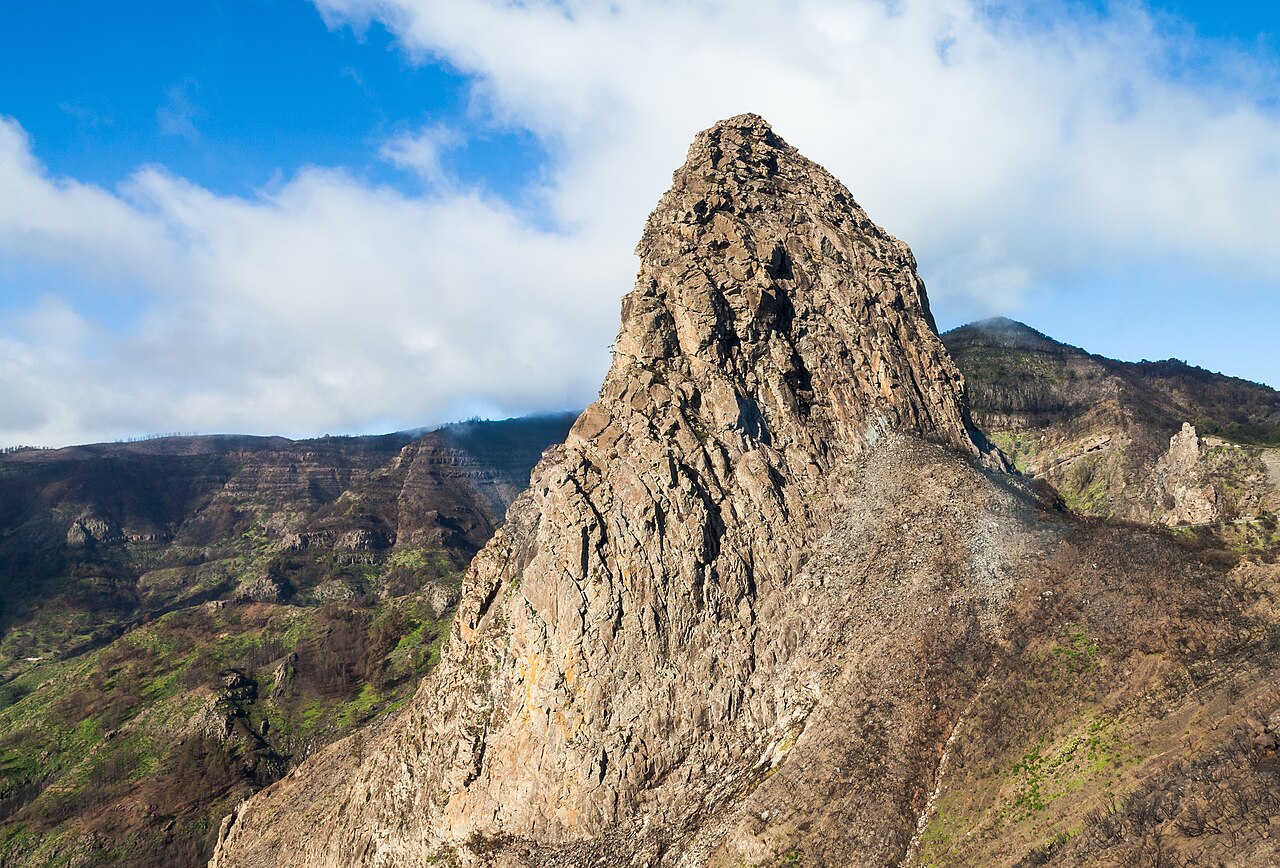
Before planning your hike, understand that La Gomera has two main long-distance trails.
GR132 — coastal circuit
The GR132 follows the coastline and circles most of the island. You get dramatic ocean views, remote villages, volcanic cliffs and a lot of elevation gain — because the route constantly descends toward the coast and then climbs straight back out again.
GR131 — interior mountains
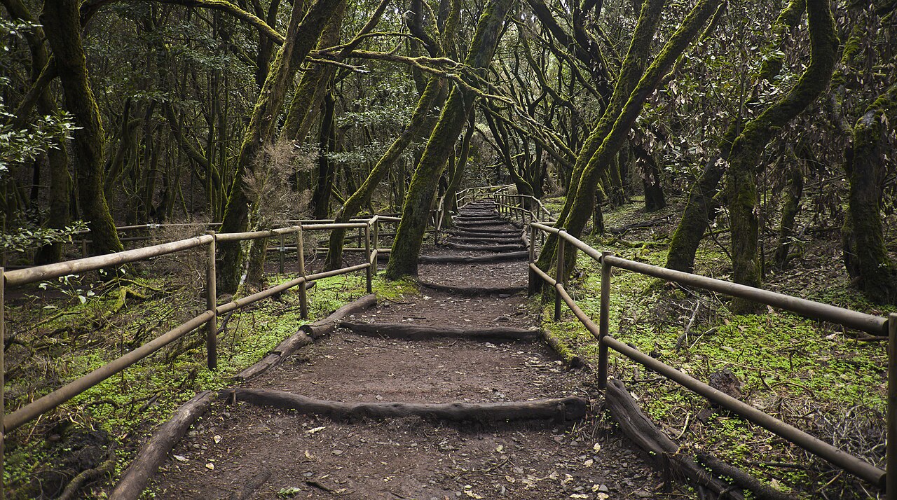
The GR131 cuts through the interior mountains and forests, including Garajonay National Park. This section feels greener, cooler and more mountainous — a completely different atmosphere from the dry coastal sections.
What I did
I didn't hike only one route. I combined sections of both trails into a custom through-hike that gave me coastal cliffs, volcanic ridges, remote villages, forest hiking, sunsets and the dramatic mountain scenery that makes La Gomera feel unique.
Coastal + interior = the best of both if you have the fitness and time to link them. If you prefer ocean views, lean GR132 (but expect relentless up-and-down). If you prefer greener, cooler forest hiking — especially in hotter months — prioritise GR131 around Garajonay.
My 5-Day Journey
I started in San Sebastián, the island's main town and where most hikers arrive after the ferry from Tenerife. It's the perfect place to prepare — supermarkets, restaurants, pharmacies, gear shops and everything you might need before heading into the mountains.
Day 1 — San Sebastián → Santa Catalina
~30 km · 1,500 m+ climbing · very exposed
Day One threw me straight into the deep end. I left before sunrise and climbed out of San Sebastián in darkness before watching sunrise over the volcanic mountains behind me.
Brutal climbs, rocky coastal trails, forest sections, huge ocean views, and an exhausting descent into Santa Catalina. Almost no services along the route. By the end my legs were destroyed — but I already knew this island was something special.
Day 2 — toward Vallehermoso
Slightly shorter — still not "easy"
The morning sunrise along the coast was one of the most memorable moments of the entire trip. Small villages, exposed mountain sections and quieter inland terrain before descending dramatically into Vallehermoso, surrounded by enormous cliffs and green valleys.
Day 3 — GR131 interior → western coast
One of the best hiking days I've ever had
I transitioned toward the GR131 interior route and crossed forested sections near Garajonay before reaching the western side of the island.
Huge volcanic cliffs dropping into the Atlantic. Narrow mountain trails carved into ridges. Some of the most dramatic scenery I've ever filmed. The descent toward La Playa absolutely destroyed my knees, but the sunset over the ocean made every painful step worth it.
Day 4 — toward Imada → bus to Playa Santiago
Shorter on paper — one of the hardest mentally
Exposed volcanic terrain with almost no shade toward Imada. I eventually caught a bus down to Playa Santiago because accommodation options in that region were limited.
Fatigue was catching up — heat, elevation gain and consecutive long days were becoming very real.
Day 5 — back to San Sebastián
Beautiful but brutal
Early taxi back to Imada to continue the route. Sunrise over the mountains while Mount Teide on Tenerife glowed in the distance across the ocean.
Completely exposed to the sun for long stretches. Constant climbing and descending. By the end I was struggling with heat exhaustion and dehydration.
After five days crossing volcanic mountains, remote villages and dramatic coastlines completely solo, I made it back to San Sebastián — exhausted, sunburned and incredibly grateful.
How Many Days Should You Hike?
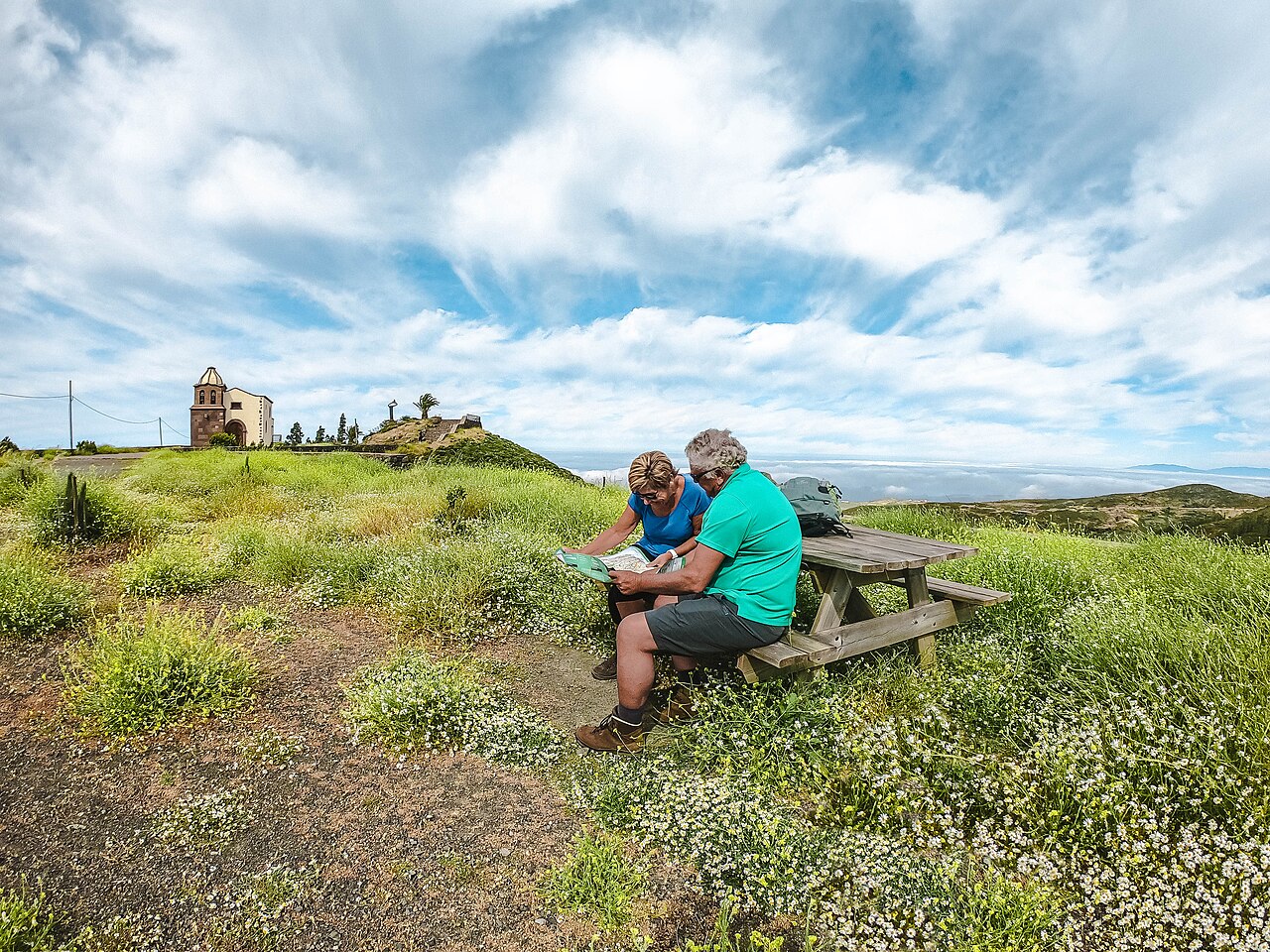
There's no single correct answer. The island is small geographically, but the terrain makes it feel much bigger once you're on the trail.
| Duration | Who it's for |
|---|---|
| 5 days | Strong, experienced hikers wanting an intense through-hike (what I did) |
| 6–8 days | Sweet spot for most people — shorter stages, more recovery, more time in towns |
| Day hikes | Base in Vallehermoso, La Playa, Playa Santiago or San Sebastián and explore sections |
My honest take: 5 days worked, but it was physically demanding. Some days were very long. The heat and exposed terrain make moderate distances feel much harder than expected. By the final day I was properly exhausted.
6–8 days gives you shorter daily distances, more flexibility with weather, and more opportunities to enjoy towns like Vallehermoso, La Playa and Playa Santiago instead of collapsing into bed every evening.
Book accommodation first
This surprised me while planning. Accommodation in some areas is limited — especially for consecutive stages. Some of my longer days weren't because I wanted huge distances; it was simply where I could find a room.
Book accommodation first, then build hiking stages around those locations. Not the other way around.
Best Time to Hike La Gomera
You can hike La Gomera almost year-round thanks to the Canary Islands' mild climate — but some seasons are much better than others.
I hiked in February and think it was close to ideal: warm and sunny during the day, cooler mornings and evenings, and incredibly quiet trails. I was in a t-shirt and still sweating constantly on the climbs.
Best hiking months: November through April
| Period | What to expect |
|---|---|
| Nov – Apr | Comfortable temperatures, greener landscapes, quieter trails — ideal for through-hiking |
| Jan – Feb | Fantastic winter escape from mainland Europe |
| Spring | Greener and more colourful after winter rains |
| Jul – Aug | Possible but risky — long exposed sections, limited shade and water; heat can become dangerous |
Weather varies dramatically with elevation. Dry coastal heat in the morning; cool misty forest in the mountains by afternoon. Fog and wind can roll into Garajonay unexpectedly.
Always: start early, carry more water than you think you need, and respect heat and exposure.
Accommodation
Unlike famous European hut routes, La Gomera is much quieter and less developed for long-distance hikers. That's part of what makes it special — but you need to plan carefully.
I stayed in hotels, guesthouses, apartments and B&B-style accommodation — not camping. Official camping is not permitted on the island (though you may see others doing it at their own risk).
Staying in towns meant a much lighter pack — no tent, sleeping system or multi-day food. On a route with this much climbing, that makes a massive difference.
Best accommodation range: San Sebastián, Vallehermoso and Playa Santiago generally have the most options. Smaller places like Santa Catalina or La Playa have fewer choices — book ahead.
Most places were simple but comfortable, clean and welcoming. After hiking all day in the heat, even a basic room and cold shower feels like luxury.
My biggest recommendation: book accommodation first, then build your itinerary around those locations.
Planning Your Route
Step 1 — Choose your style
- Full island combination (recommended): sections of GR131 + GR132 like I did
- Coastal focus: GR132 — dramatic ocean views, relentless elevation
- Interior focus: GR131 — Garajonay forests, cooler hiking
- Day hikes: base in one or two towns
Step 2 — Book accommodation
Use Booking.com or similar — book ahead, especially in busier periods. Identify towns you want to stay in, check availability, then build daily stages.
Step 3 — Use local transport when it helps
La Gomera has a decent bus system. I used buses and one taxi to connect sections where accommodation logistics were difficult. Don't become obsessed with hiking every single metre — sometimes transport improves the experience.
I also used a taxi on Day 5 to return early to Imada. It wasn't expensive and made the final stage much smoother.
Step 4 — Navigation
Download offline maps and GPX tracks before starting. I used AllTrails and offline navigation throughout. Trails are reasonably well marked, but paths can become overgrown, confusing or unclear — I got lost multiple times.
Mobile signal is inconsistent in the mountains. Offline maps are essential.
Step 5 — Plan conservatively
A 15 km day on La Gomera can feel harder than much longer hikes elsewhere. Give yourself extra time and build flexibility into your itinerary.
Getting There
Most people arrive via Tenerife — fly in, then take the ferry to San Sebastián (~40–50 minutes). The crossing is short but the Atlantic can be rough; prepare if you're prone to seasickness.
You don't need a car for a through-hike. Buses connect many towns and are useful for awkward stage gaps.
What to Pack
This is not a cold alpine hike — but the terrain is physically tough because of constant elevation gain, exposure and heat.
Priorities:
- Lightweight breathable layers — even in February, days were very warm
- Sun protection — sunscreen, cap, sunglasses; UV is intense on exposed volcanic sections. I was completely sunburned despite daily sunscreen
- Water capacity 2–3 L — some stages have very limited refill points; I sometimes wished I'd carried more
- Trail runners or broken-in hiking shoes — rocky sections and brutal descents
- Trekking poles — especially for long downhills; my knees were grateful by Day 3
- Offline maps + power bank
- Light pack — hotel nights mean you don't need camping gear; every unnecessary kilogram hurts on steep volcanic climbs
Build a checklist in the Packing List Builder.
How Much Does It Cost?
La Gomera can be a relatively affordable European multi-day hike compared to Swiss hut treks or Iceland — especially for winter sun from mainland Europe.
| Item | Rough budget |
|---|---|
| Ferry (Tenerife ↔ La Gomera) | €30–50 each way |
| Accommodation | €50–120/night (varies by town and season) |
| Food & drinks | Supermarkets affordable; cafés good value vs Switzerland/Iceland |
| Buses / taxis | Inexpensive — budget for occasional connections |
| 5-day trip (excl. flights) | ~€400–700 solo, depending on comfort level |
Flights to Tenerife are the biggest variable. Solo hikers pay full room rates, so accommodation is often the largest on-trail expense.
After hiking in volcanic heat you'll probably buy more cold drinks, snacks and ice cream than planned. Budget slightly more than you think you need.
Model your numbers in the Trek Cost Calculator.
Fitness & Difficulty
La Gomera isn't extreme altitude — but the hiking is tougher than many people expect.
The biggest challenge is constant elevation gain and loss. Very little flat terrain. Coastal sections drop to sea level then climb straight back into the mountains. Your legs never really recover during the day.
Heat adds another layer of fatigue that builds over consecutive days. Even in February I struggled with dehydration and heat exhaustion toward the end.
Ideal preparation:
- Long walks and day hikes with elevation
- Stair or incline training (especially if you live somewhere flat)
- Back-to-back hiking days with a loaded pack
- Heat and hydration awareness
You don't need elite fitness — but reasonable hiking endurance makes the experience dramatically more enjoyable.
My difficulty rating: fitness 4/5 · heat/exposure 4/5 · navigation 3/5 · overall challenging.
Challenges to Expect
- Relentless elevation — up, down, up again, all day
- Heat and sun — long exposed sections, limited shade and water between towns
- Isolation — large parts felt completely empty; loved it, but solo hikers should be comfortable with remoteness
- Navigation — mostly straightforward, but overgrown or unclear paths happen; I got lost several times
- Brutal descents — knees and quads take a beating; poles help enormously
- Accommodation logistics — stages shaped by where you can sleep, not ideal distances
- Fatigue accumulation — multi-day hiking is mentally and physically different from one hard day
Safety & Trail Etiquette
The biggest safety factors are heat, sun exposure, elevation gain and dehydration.
- Carry more water than you think you need — 2–3 L on long exposed stages
- Start early — cooler temperatures and incredible sunrise hiking
- Offline maps — don't rely on signal or assuming the trail is always obvious
- Support local businesses when you can; respect villages, farmland and gates
- Pack out rubbish — the island feels quiet and special; keep it that way
- Carry a light extra layer — mist and wind can roll into Garajonay quickly
- Listen to your body — La Gomera rewards patience far more than speed
What I Wish I'd Known
- Don't underestimate the island — small on the map, huge in terrain
- Plan conservatively — shorter days beat heroic distances
- Start early — sunrise here is magical and heat arrives fast
- Book accommodation before finalising stages
- Use buses/taxis when logistics improve the experience
- Prioritise sun protection and hydration — I underestimated both
- Pack lighter — hotel nights make this possible; take advantage
- Embrace the slower pace — ice cream, sunsets and café stops are part of the trip
- Don't obsess over hiking every official kilometre
- Leave space to experience the island — not just GPX stats
Should You Hike La Gomera?
Hike it if you:
- Love dramatic volcanic scenery and empty trails
- Want a European multi-day hike that feels wild and underrated
- Are comfortable with heat, elevation and some route-finding
- Prefer hotels over huts and don't need luxury every night
Maybe choose something else if:
- You've never done multi-day mountain hiking before
- You need flat walking or daily showers at five-star hotels
- You can't tolerate heat or long exposed sections without shade
Compared with the Tour du Mont Blanc, Alta Via 1 or Bernina Trek, La Gomera is generally cheaper, quieter and less established — but also hotter, rougher on logistics and with fewer services between towns.
Would I go back? Absolutely. It's easily become one of my favourite hiking destinations in Europe.
Quick Planning Checklist
- Best time: November – April (July–August only if very heat-experienced)
- Days: 6–8 recommended · 5 possible if fit
- Trails: Combine GR131 + GR132 for best variety
- Start: San Sebastián (ferry from Tenerife)
- Accommodation: Book towns first, then plan stages
- Pack: Light hotel-based kit · sun protection · 2–3 L water capacity · poles
- Navigation: Offline GPX/maps essential
- Budget: ~€400–700 on-trail for 5 days (excl. flights)
- Biggest tips: Start early · book rooms first · carry more water · plan shorter days
Photo credits
Supplementary images are from Wikimedia Commons under Creative Commons licences: Roque Agando and Garajonay forest (Diego Delso, CC BY-SA 3.0); La Gomera landscape.
Last verified: August 2026. Route, accommodation and prices are planning references from my February hike — always confirm current ferry times, bus schedules and room availability before booking.
Next guide
La Gomera Itinerary: 5-Day GR131 & GR132 Guide
La Gomera day-by-day itinerary — Lee's 5-day solo route combining GR132 coastal and GR131 Garajonay sections with bus and taxi links.