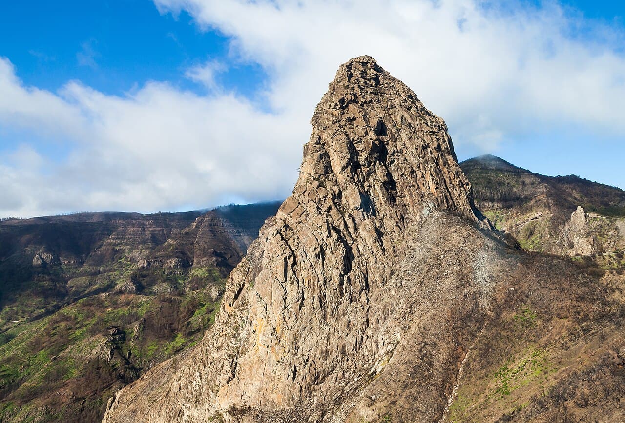
La Gomera Navigation: GR131, GR132 & Offline Maps
How to navigate La Gomera — GR131 interior vs GR132 coastal, offline GPX essential, waymarks and Lee's route-finding mistakes.
Hiked by Lee
Self-guided
Last verified
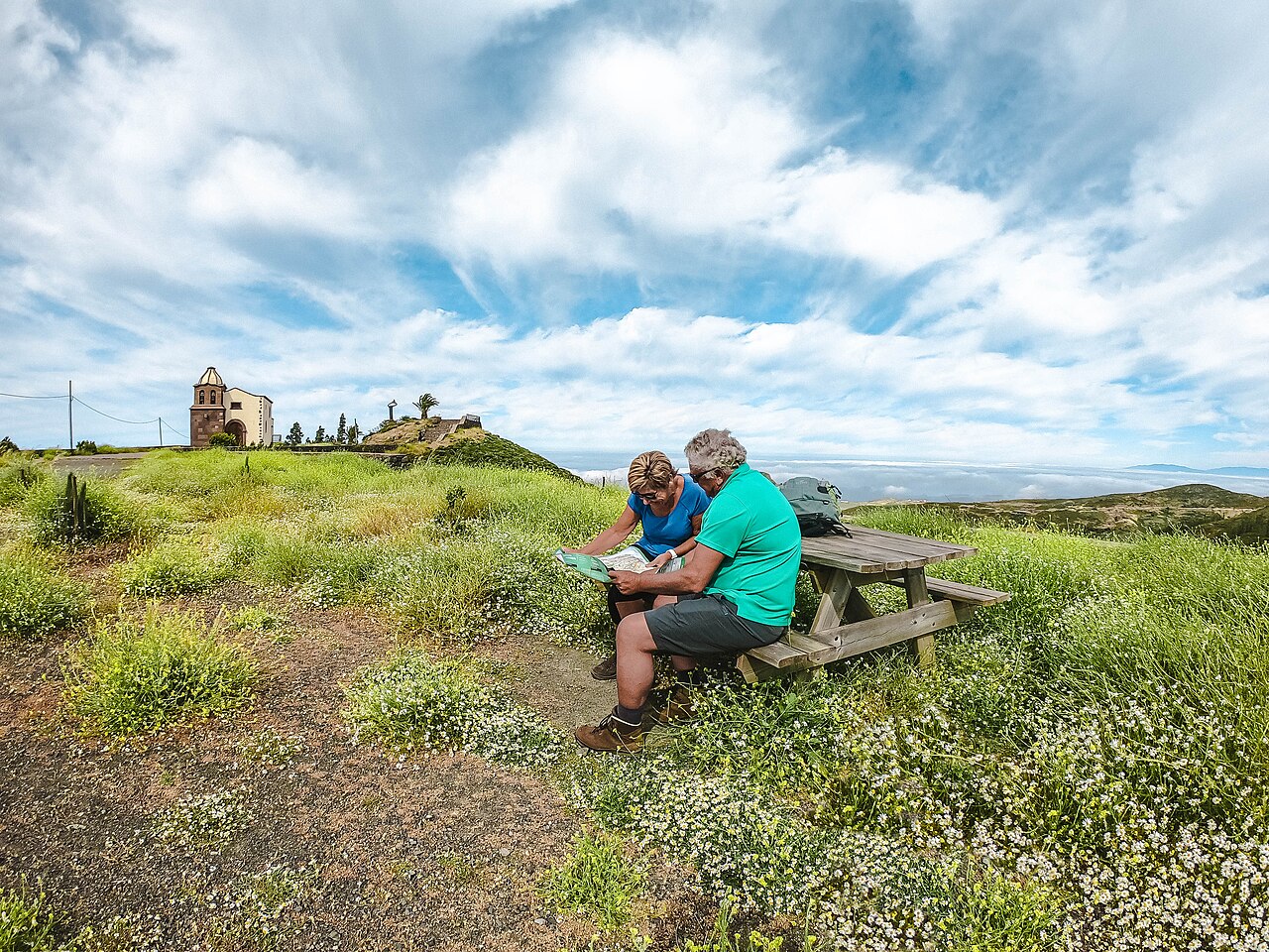
GR131 and GR132 are waymarked long-distance trails — but paths can be overgrown, unclear or confusing at junctions. Lee got lost multiple times despite using AllTrails offline.
Also read: Complete Guide · Itinerary · Trek overview
GR131 vs GR132
| Trail | Character | Navigation |
|---|---|---|
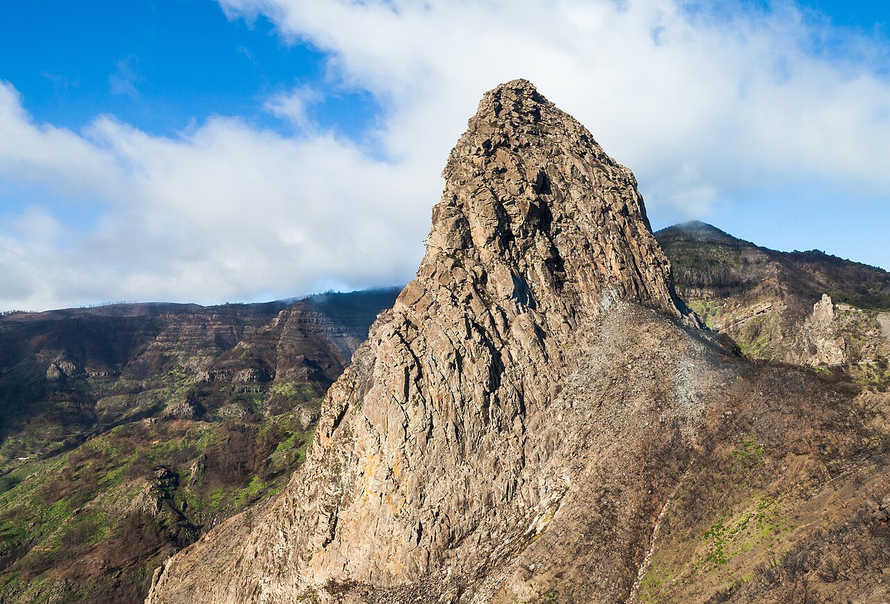
| GR132 | Coastal circuit — ocean views, constant up-down | Exposed ridges; cliff paths |
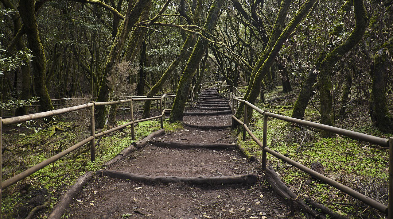
| GR131 | Interior — Garajonay forest, cooler | Mist, fog, overgrown sections |
Lee combined both into a custom loop — not one official route. Plan junctions carefully.
Waymarking reality
| Expect | Detail |
|---|---|
| GR markers | Present on main routes |
| Overgrowth | Paths disappear in sections |
| Junctions | Easy to take wrong fork |
| Signal | Inconsistent in mountains |
Offline maps are essential — don't rely on mobile data.
Navigation tools
- Download full island or stage GPX before San Sebastián
- Lee used AllTrails + offline mode throughout
- Paper map backup optional
Poles help on steep descents when you're watching feet not map.
Where navigation gets tricky
Coastal GR132 sections
Cliff paths with multiple forks to villages. Coastal descent routes multiply near beaches.
Garajonay forest (GR131)
Fog and mist roll in quickly — cool, disorienting, paths less obvious under canopy.
Village exits
Finding trailhead leaving towns — not always signed from hotel door.
Lee's lost moments
Several times on overgrown or unclear paths — offline GPS recovered the route each time.
Planning your custom route
- Decide GR132 coastal vs GR131 interior vs combination
- Match GPX stages to booked accommodation towns
- Identify bus/taxi bailout points per stage
- Build conservative distances — 15 km here ≠ 15 km on flat trails
Safety navigation tips
- Start early — light for map reading and cooler hiking
- Check weather — fog in Garajonay changes visibility fast
- Carry power bank — GPS drain searching for signal
- Tell hotel your intended route when possible
- Don't rush junctions — wrong turn adds hours in heat
Offline checklist
- GPX tracks downloaded (phone + watch)
- AllTrails / Komoot offline maps saved
- Power bank charged
- Bus timetables saved for exit options
- Paper map (optional backup)
Related planning
- Difficulty — nav rated 3/5
- Itinerary — custom route stages
- Getting there — San Sebastián start
- Packing list — GPS and power