Giants Cup Trail Navigation: Mist, Maps & Waymarks
How to navigate the Giants Cup Trail — waymarked Drakensberg route, mist and cloud, offline maps and hut-to-hut GPS backup.
Hiked by Lee
Self-guided
Last verified
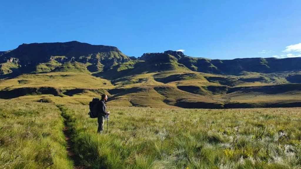
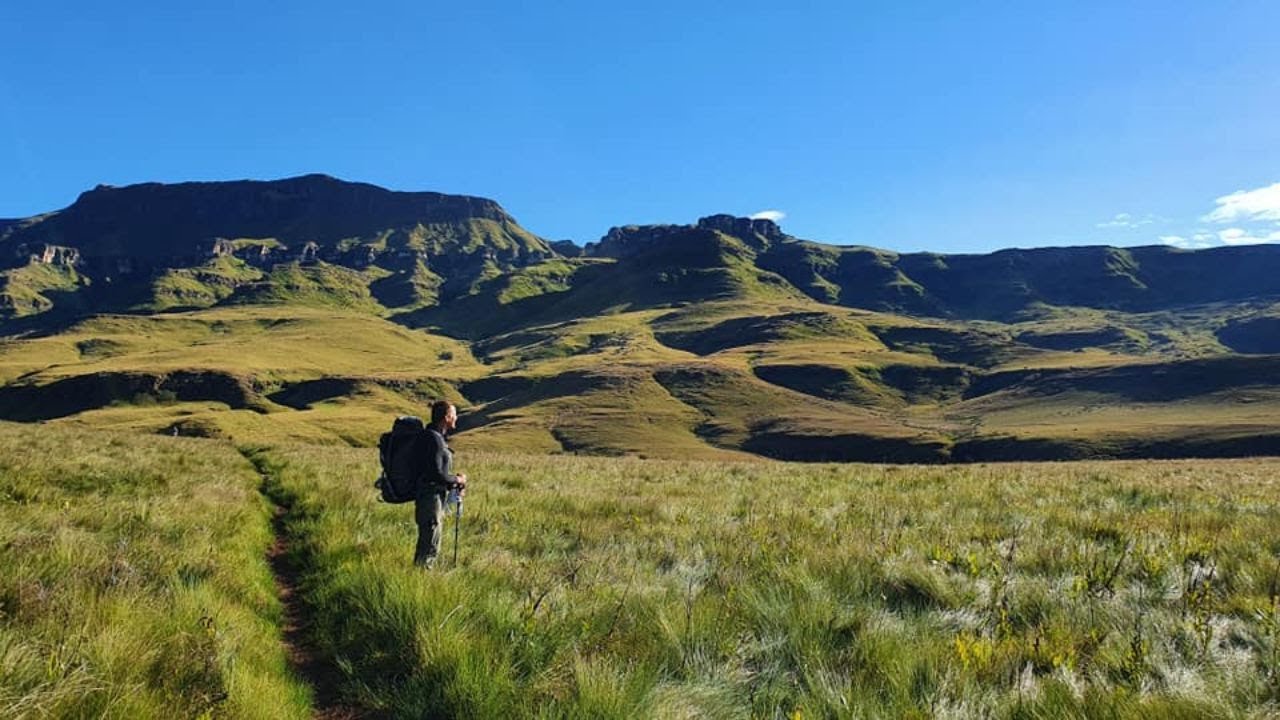
The Giants Cup Trail is waymarked — you're not navigating a pathless wilderness like the Skye Trail. The real challenge is mist and cloud on exposed Drakensberg ridgelines, where markers disappear into white-out.
Also read: Planning Guide · Itinerary · Trek overview

Waymarking
| Section | Navigation |
|---|---|
| Pholela to Gxalingenwa | Clear trail; introductory markers |
| Ridgeline sections | Waymarked but mist-prone |
| River valleys | Defined paths; mud obscures markers |
| Hut approaches | Signposted from main trail |
Follow the official Giants Cup route only — don't shortcut fragile grassland.
Navigation tools
1. Offline maps
Download before Day 1 — signal is unreliable in valleys:
- Giants Cup track on Komoot, AllTrails or similar
- Offline topo for uKhahlamba-Drakensberg section
- Screenshot hut GPS coordinates from booking confirmation
2. Compass backup
A simple compass plus paper map excerpt works when electronics fail in cold, wet conditions.
3. Hut-to-hut notes
Your Ezemvelo booking confirmation lists the hut sequence — keep a paper copy in a zip-lock bag.
Mist and cloud protocol
| Situation | Action |
|---|---|
| Light mist | Slow down; confirm next marker before continuing |
| Heavy cloud on ridge | Group up; use GPS bearing to next hut |
| White-out | Stop if unsure; wait for visibility or retreat to last known point |
| Afternoon build-up | Descend before thunderstorms in summer |
Day 3 (Yellowwood) and exposed sections on Days 2 and 4 need extra attention.
River and mud navigation
- Muddy trails can obscure the path — look for marker posts
- River crossings: choose stable footing; poles help
- After rain, allow extra time — don't rush past turn-offs
Emergency & communication
- Cell signal is patchy — don't rely on live maps
- Tell someone your hut sequence and expected finish day
- Emergency evacuation is difficult in the Berg — hike within group ability
- Lightning: descend from exposed ridges if storms build
Offline checklist
- Giants Cup route downloaded offline
- Hut names and day distances saved on paper
- GPS watch or phone charged; power bank in pack
- Whistle and headlamp packed
- Shuttle driver contact stored (limited signal at Bushman's Nek)
Related planning
- Difficulty — mist and weather fitness
- Itinerary — exposed stage planning
- Packing list — map and GPS kit
- Getting there — shuttle coordination
Next guide
Hut-to-Hut Treks by Difficulty: Which Route Fits Your Fitness?
Hut-to-hut treks ranked by difficulty — Laugavegur, Alta Via 1, TMB, Bernina, Otter Trail and bucket-list classics with Lee's first-hand nuance and honest bucket-list labels.