Fimmvörðuháls Navigation: Markers, Maps & Weather
How to navigate Fimmvörðuháls — waymarked Skógar–Þórsmörk trail, vedur.is weather, fog on the pass and offline GPS backup.
Hiked by Lee
Self-guided
Last verified
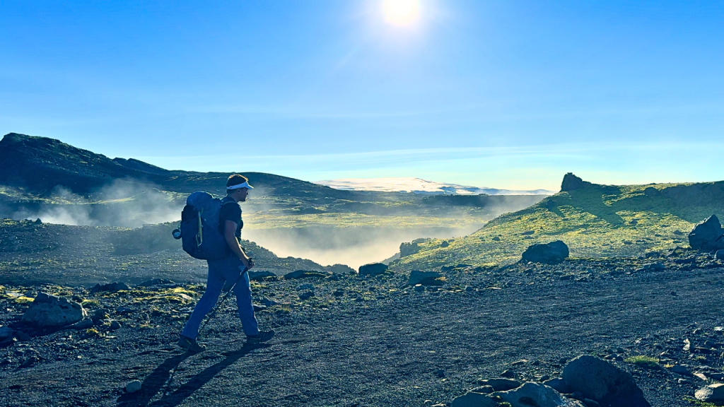
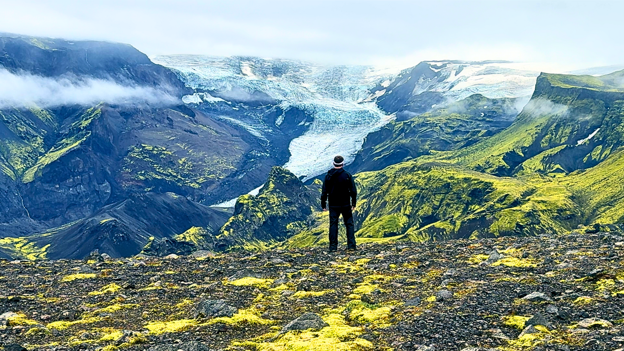
Fimmvörðuháls is well-marked in summer — but fog, wind and snow patches can hide posts when you need them most. Lee used offline GPS and trekking poles on ash slopes between glaciers.
Also read: Complete Guide · Itinerary · Trek overview
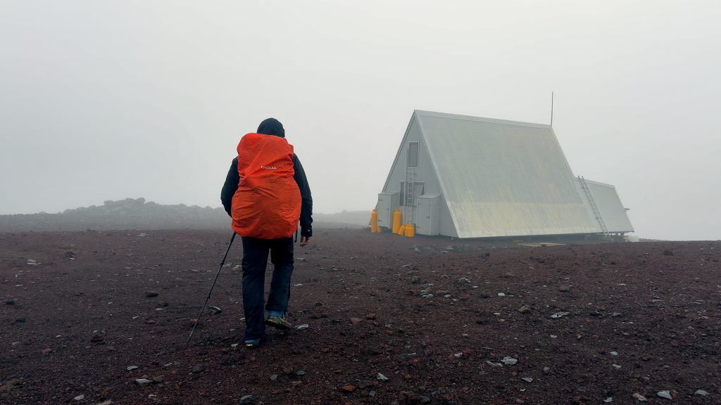
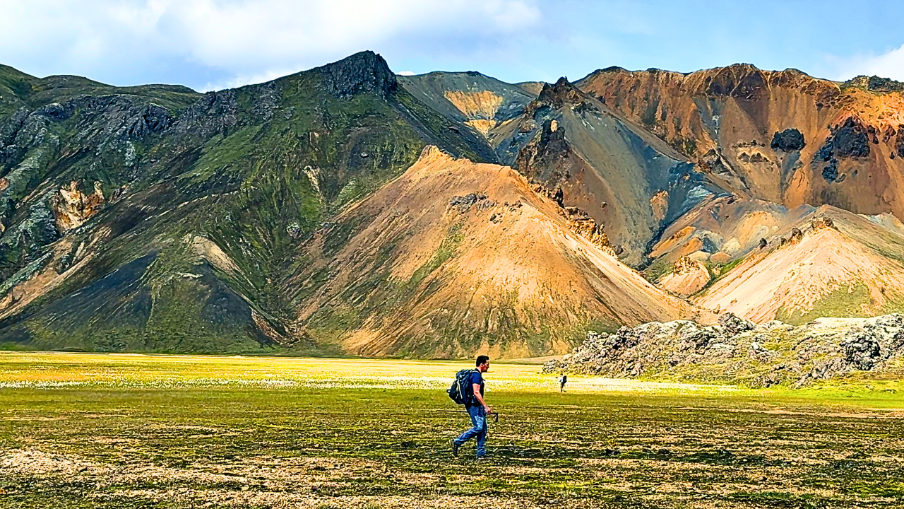
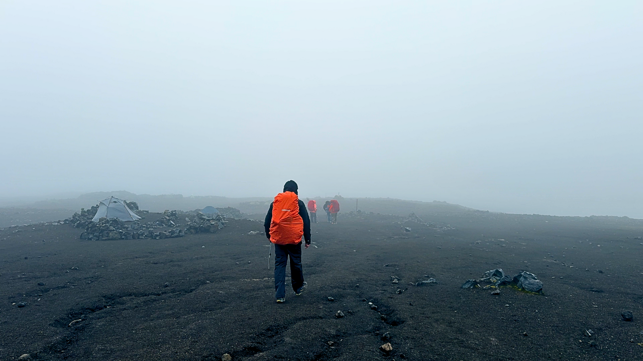
Waymarking
- Clear posts and stakes on the main route
- Well-trodden path in peak season (July/August)
- Skógar side: follow waterfall chain uphill
- Pass section: cairns and poles across lava
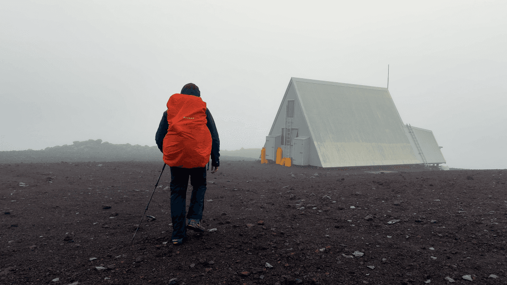
- Still carry offline map — visibility can drop to metres
Navigation tools
1. Offline GPS / Komoot
- Download full route before leaving WiFi
- Works when markers disappear in mist
2. Paper map
- Fimmvörðuháls / Þórsmörk area map
- Battery-free backup in rain
3. Trekking poles
Essential on steep ash and snow bridges — not just for knees:
Weather sources
| Source | Use |
|---|---|
| vedur.is | Icelandic Met Office — check night before |
| safetravel.is | Trip registration and alerts |
| Hut warden | Local pass conditions (if staying overnight) |
Lee faced rain, wind and icy slopes even in summer — if forecast is severe, delay a day.
Where navigation gets tricky
Skógar waterfall section
Multiple side paths near falls — stay on the main marked route climbing beside the river.
High pass
Open terrain, fog, snow — markers exist but spacing widens. GPS backup critical.
Lava descent
Ash and loose rock — easy to rush and lose footing; poles help more than map here.
Bail-out reality
- No roads on the pass itself
- Turn back only if conditions allow — long retreat either direction
- 112 is EU emergency number
- Register trip on safetravel.is
Offline checklist
- GPS route downloaded (Komoot / Gaia / watch)
- Phone charged; power bank packed
- vedur.is checked morning of hike
- Trekking poles accessible
- Tell someone your route + expected finish time
Related planning
- Difficulty — exposure is the real challenge
- Getting there — bus timing
- Itinerary — stage endpoints
- Packing list — GPS and poles
Next guide
After the Hike: Recovery, Lessons & What to Do Next
Post-trail recovery and lessons — first 48 hours, packing retrospectives, recovery towns Lee actually used, and links to plan your next hut trek.