trek difficulty guide
How Hard Is Alta Via 1? Difficulty & Fitness Guide
Alta Via 1 difficulty — moderate to challenging hut trek, 6,500 m ascent, rocky terrain and who the Dolomites high route suits.
By Lee3 min read
Hiked by Lee
Self-guided
Last verified
Alta Via 1 is non-technical — no ropes or crampons — but it's physically demanding: ~6,500–7,000 m of ascent over 120 km, rocky trails, afternoon thunderstorms and long days with a 7–10 kg pack.
Also read: Complete Guide · Itinerary · Trek overview
Difficulty at a glance
| Factor | Alta Via 1 reality |
|---|---|
| Overall | Moderate to challenging |
| Technical | None — no climbing gear |
| Daily distance | 10–22 km (Day 4 longest) |
| Daily ascent | 500–1,100 m typical |
| Altitude | 1,500–2,750 m |
| Pack weight | 7–10 kg |
| Marking | Good — red-white AV1 markers |
| Accommodation | Rifugi — easier recovery than camping |
What makes it hard
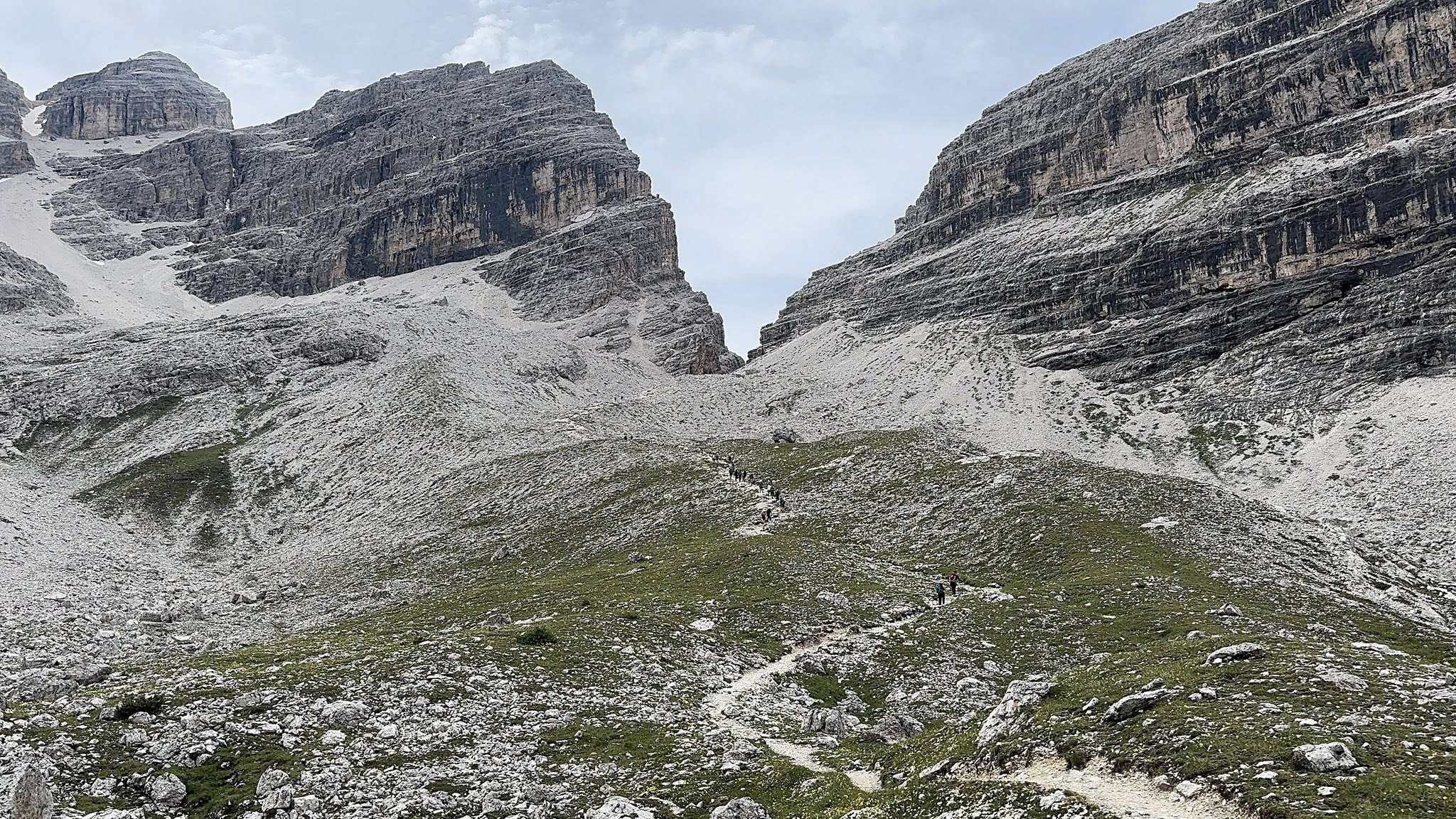
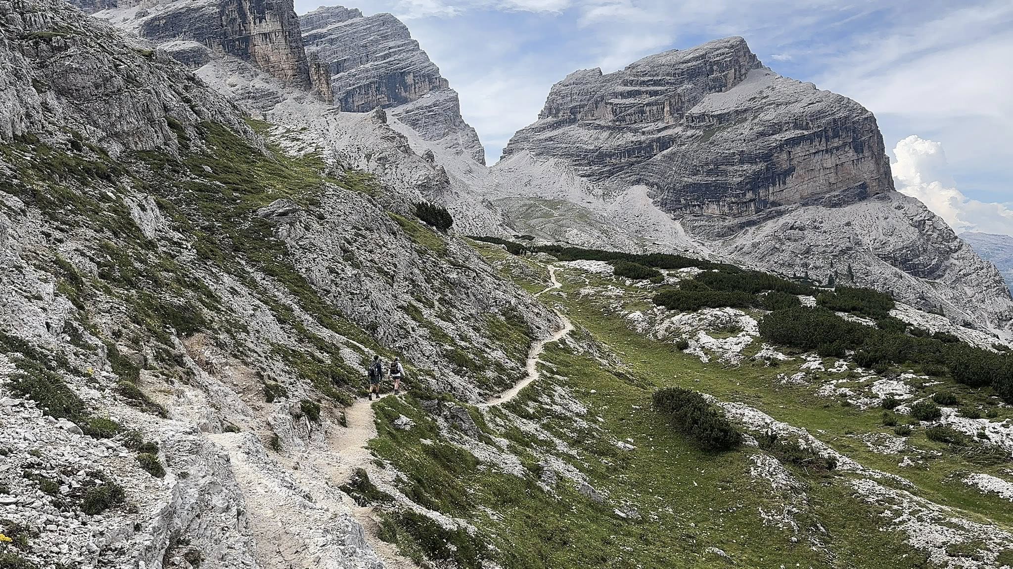
- Steep rocky terrain — scree, exposed sections, knee-heavy descents
- Heat — 30°C+ days possible; start early
- Afternoon storms — thunder common in summer
- Long days — 6–9 hours hiking with breaks
- Basic rifugi — some nights: no shower, dorm snorers, limited food
- Navigation gaps — especially Days 6–8 in forest/rock
Who is it for?
Great fit if you:
- Have multi-day hiking experience
- Can hike 6–9 hours daily for a week
- Are comfortable on steep, uneven trails
- Want hut comfort without camping weight
- Love dramatic Dolomite scenery
Reconsider if you:
- Are a complete beginner with no hill training
- Need hotel-level comfort every night
- Dislike heights or exposed ridges
- Can't handle heat + altitude combination
Compared to other treks
| Trek | vs Alta Via 1 |
|---|---|
| TMB | Similar hut style; TMB has more total elevation |
| Bernina Trek | Harder days; Swiss pricing |
| Skye Trail | Much harder navigation; wild weather |
| Rheinsteig | Easier — hotel hiking, rolling hills |
Hardest days (Lee's route)
| Day | Challenge |
|---|---|
| Day 1 | Immediate brutal climb from Braies |
| Day 4 | ~22 km, exposure, afternoon storms |
| Day 6 | Rocky terrain, sparse markers |
Training plan (3–4 months out)
| Focus | How |
|---|---|
| Endurance | Weekly 15–20 km hikes |
| Elevation | Hill repeats, stairs, 1,000 m gain days |
| Pack weight | Train with 8–10 kg |
| Back-to-back days | Weekend double-hike simulation |
| Leg strength | Squats, lunges, step-ups |
Making it easier
- Start at Pederü or Lagazuoi — skip tough north sections
- End at Vazzoler — best scenery, shorter trip
- Split Day 4 at Averau or Nuvolau
- Use trekking poles — strongly recommended
- Start before 6 AM on long/hot days
Related planning
- Itinerary — stage lengths
- Packing list — poles and layers
- Navigation — offline maps
- Refuges — comfort varies by hut
Next guide
Alta Via 1 Navigation: Markers, Maps & Getting Lost
How to navigate Alta Via 1 — red-white AV1 markers, Komoot, Tabacco maps and where Lee found tricky trail-finding on the Dolomites route.