Lago di Sorapis Navigation: Trail #215 & Offline Maps
How to navigate Lago di Sorapis — marked Trail #215, Komoot offline maps, cable sections and limited cell signal in the Dolomites.
Hiked by Lee
Self-guided
Last verified
Trail #215 to Lago di Sorapis is well marked from Passo Tre Croci — but cell signal drops in places and crowds can obscure the path at bottlenecks. Download an offline map before you leave Cortina WiFi.
Waymarking
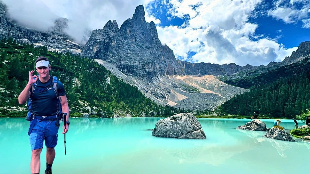
- Trail #215 signs from Passo Tre Croci
- Well-trodden path in summer — follow main traffic flow early, not blindly at midday
- Red/white paint markers on rocks in forest sections
- Out-and-back — same route return (hard to get lost if you stay on #215)
Navigation tools
1. Komoot / offline GPS
Download the full out-and-back before trailhead:
Komoot highlight is a popular reference route.
2. Maps.me / GPX file
Backup if phone battery dies — screenshot key junctions as last resort.
3. Trekking poles
Not for navigation, but for cable sections:
Where navigation gets tricky
Cable and ladder sections
Follow steel cables one-way in crowd flow — don't overtake recklessly on exposed ledges.
Forest junctions
Stay on #215 — social trails to viewpoints can confuse; trust markers over shortcuts.
Weather
Storms → leave exposed ridges immediately. Check MeteoDolomiti morning of hike.
Emergency
- 112 EU emergency number
- Mountain rescue in Dolomites is professional — call if injured on cables
- Tell someone your expected return time
Offline checklist
- Trail #215 downloaded (Komoot/Gaia/watch)
- Phone + watch charged; power bank packed
- MeteoDolomiti checked
- Poles accessible before cable section
- Cash for Vandelli if you need to wait out weather
Related planning
- Difficulty — exposure on cables
- Getting there — trailhead GPS
- Itinerary — stage endpoints
- Packing list — GPS and poles
Navigation & route-finding
| Fact | Detail |
|---|---|
| Waymarked | Yes — still carry offline GPS |
| Distance | ~12 km |
| Ascent | ~460 m |
| Start | Passo Tre Croci |
| End | Passo Tre Croci |
Field checklist
- Offline maps downloaded before the trailhead
- Paper map or printed overview as battery backup
- Agree regroup points at major junctions
- Know bail options to road / village if weather turns
First-hand evidence (this topic)
Round-trip stats from the Lago di Sorapis complete guide.
Plan next for Lago di Sorapis
Complete Guide · Trek hub · Itinerary · Cost · Packing · Videos
Tools & media: I Hiked Lago di Sorapis — Dolomites lake day hike · What to do in the Dolomites after Alta Via 1
Official sources to re-check
Navigation planning for Lago di Sorapis
The route is waymarked, but fog, snow and tired legs still demand a map and offline GPS — markers disappear faster than expected.
| Fact | Detail |
|---|---|
| Start | Passo Tre Croci |
| End | Passo Tre Croci |
| Distance | ~12 km |
| Duration | ~1 days |
| Ascent | ~460 m |
| High point | ~1,925 m |
| Difficulty | moderate |
| Style | self-supported carrying your own kit |
| Budget anchor | ~25 EUR |
| Permit | Not typically required |
| Waymarked | Yes |
Frequently asked questions
Is a paper map needed?
Yes — batteries die in cold rain. Carry a waterproof map or printed overview plus offline GPS on Lago di Sorapis.
How visible is the trail?
The route is waymarked, but fog, snow and tired legs still demand a map and offline GPS — markers disappear faster than expected.
Are trekking poles worth it?
On steep or slippery terrain they save knees — especially on long climb-and-descent days on Lago di Sorapis.
What if someone loses the group?
Agree regroup points at junctions, carry a whistle, and know the emergency number for Italy.
Decision checklist for Lago di Sorapis
- The route is waymarked, but fog, snow and tired legs still demand a map and offline GPS — markers disappear faster than expected.
- Carry paper backup plus offline GPS
- Agree regroup points at major junctions
Before booking Lago di Sorapis
Lock non-refundable pieces — permits, key lodging, and transport into Passo Tre Croci — only after the stage plan is realistic.
Before departure, walk through food, water, navigation and shelter against the longest stage, then use the packing list builder and cost calculator as a second pass — and still verify prices and rules on official websites.
Continue planning Lago di Sorapis
Lago di Sorapis Accommodation: Cortina & Rifugio Vandelli · Lago di Sorapis Cost Guide: Budget in EUR · How Hard Is Lago di Sorapis? Difficulty & Fitness · Lago di Sorapis Food Guide: Pack Lunch & Rifugio Vandelli · Lago di Sorapis Parking & Access: Passo Tre Croci · Lago Di Sorapis Hike | The Complete Guide · Trek overview
Use the Packing List Builder, Trek Cost Calculator and Trek Comparison when your dates are firm.
Related guides
trek packing guide
Lago di Sorapis Packing List
Lago di Sorapis · 5 min read
Read guide →
trek complete guide
Lago Di Sorapis Hike | The Complete Guide
Lago di Sorapis · 27 min read
Read guide →
trek accommodation guide
Lago di Sorapis Accommodation: Cortina & Rifugio Vandelli
Lago di Sorapis · 5 min read
Read guide →