Matka Canyon Navigation: Cliff Trail & Offline Maps
How to navigate Matka Canyon — marked main trail, monastery side paths, offline maps when signal drops and cliff safety.
Hiked by Lee
Self-guided
Last verified
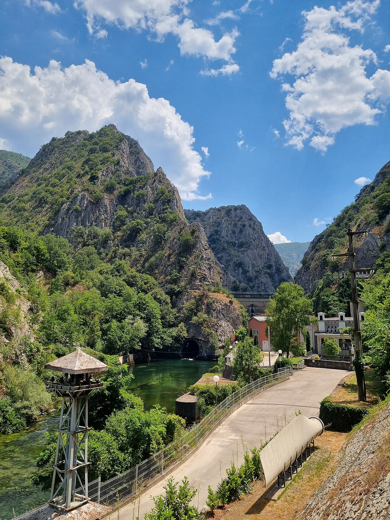
Matka Canyon's main trail from the dam is straightforward — follow the cliff path along the turquoise water. Side trails near the monastery are where signal drops and wrong turns happen.
Also read: Complete Guide · Difficulty · Trek overview
Waymarking
| Section | Navigation |
|---|---|
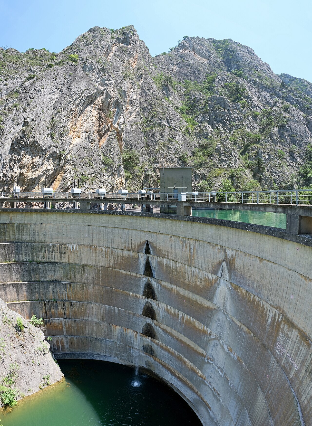
| Dam to gorge | Obvious footpath; tourist flow |
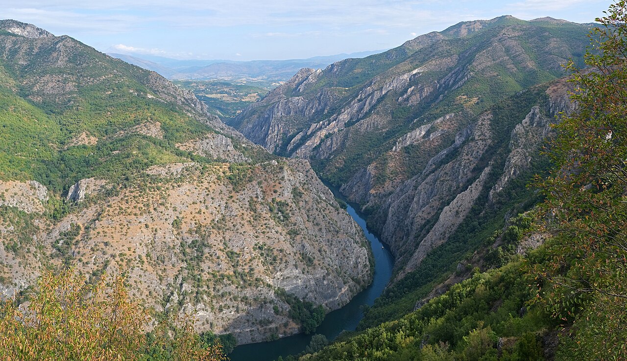
| Main canyon trail | Single cliff-hugging path ~4.5 km |
| Monastery area | Marked short walks; steeper options branch off |
| Side trails | Partially marked — easy to wander uphill |
The main hike is not a wilderness navigation challenge — until you leave it.
Navigation tools
1. Offline maps
Phone signal dropped during Lee's detour near the monastery. Download before leaving Skopje:
- Google Maps offline area for Matka / Treska
- Screenshot dam and monastery landmarks
- Optional: Komoot or similar gorge track
2. Main trail logic
- Start past Matka Dam where cliffs open up
- Path stays on the canyon wall above the water
- No fixed turnaround — go as far as comfortable, then retrace
- Vendors mid-trail = you're on the right route
3. Monastery approach
Alternative start: shaded riverside walk from St. Andrew's Monastery (~15 min) — flat, obvious, good warm-up.
Where hikers go wrong
| Mistake | Result |
|---|---|
| Wrong turn above monastery | Steep uphill in full sun (Lee's experience) |
| No offline map | Can't orient when signal dies |
| Ignoring heat | Rushed decisions at junctions |
| Flip-flops | Slipping on gravel — not navigation but related |
Lee's wrong turn delivered epic views — but 30 °C, no shade, low water made it stressful. Stick to marked paths unless prepared.
Cliff path safety
- No railing in exposed sections
- Stay inland on the path — don't edge for photos
- Pass slower groups on wider sections only
- Kids and dogs need close supervision
Not dangerous for careful hikers — but not a casual promenade either.
Boat & kayak orientation
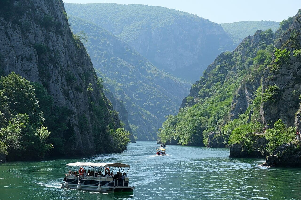
- Boat dock at dam entrance — no navigation needed
- Kayak: follow canyon water; don't enter restricted zones
- Cave boat is guided — stay with group
Emergency & connectivity
- Limited cell service on side trails
- Main dam area has more people and help nearby
- Tell someone your plan if exploring solo off-trail
- Nearest major services: Skopje (~30 min)
Offline checklist
- Offline map downloaded for Matka region
- Phone charged + power bank in daypack
- 1.5–2 L water before any detour
- Grippy shoes for rocky sections
- Cash for vendors if route takes longer than planned
Related planning
- Difficulty — exposure and heat
- Itinerary — how far to hike
- Packing list — maps and water
- Getting there — dam trailhead