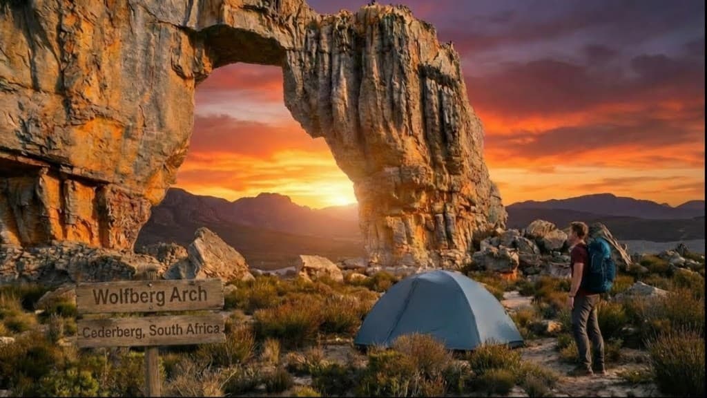
Cederberg Navigation: Cracks, Maps & No Signal
How to navigate Cederberg — marked Wolfberg trails, offline maps, physical map backup and route choices at the Cracks.
Hiked by Lee
Self-guided
Last verified
Cederberg trails from Sanddrif are generally marked — but I've found it's easy to go wrong on the plateau, and there's no cell reception. Offline maps and a paper backup are essential.
Also read: Complete Guide · Cracks guide · Trek overview
Waymarking
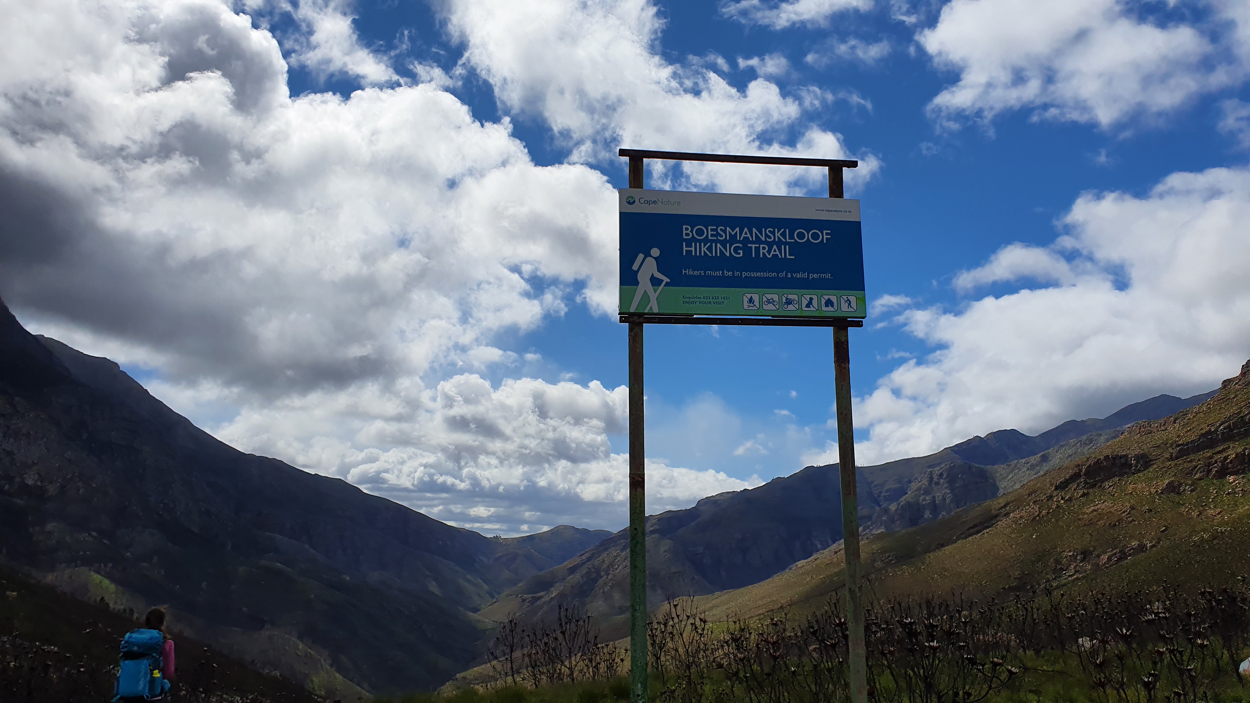
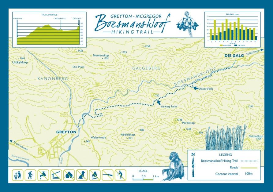
- Trailhead at Sanddrif is well signed
- Painted markers and cairns on main routes
- Wolfberg Arch route marked but requires attention on plateau
- Maltese Cross — gentler, more obvious path
- Not European hut-trail density — stay alert
Navigation tools
1. Offline GPS / Komoot
- Download Wolfberg Arch and Maltese Cross tracks
- Digital map mentioned in complete guide
- No signal to fix mistakes live
2. Physical map
Complete guide recommends carrying a paper map — battery-free backup in heat and bright sun.
3. Trailhead briefing
Sanddrif reception can orient you to current conditions and permit zones.
Cracks route choice
At the Cracks fork:
| Route | Navigation | Packs |
|---|---|---|
| Small Cracks | Tighter, more technical | Remove pack to squeeze |
| Big Cracks | Wider corridor | Better with overnight packs |
I chose Big Cracks with full camping load. Day hikers often do Small Cracks up, Big Cracks down.
Full detail: Wolfberg Cracks guide.
Where hikers go wrong
- Plateau after Cracks — multiple paths, stay on marked route to Arch
- Descent in mist — Day 3 felt surreal; easy to misstep on loose rock
- Heat fatigue — rushed decisions at junctions
- No GPS — don't rely on phone signal
Maltese Cross
- Shorter, more exposed
- Cross visible from distance — natural navigation aid
- Afternoon start avoids worst heat
Safety notes
- Register plans with someone before losing signal
- Carry plenty of water — can't navigate well when dehydrated
- Turn back if heat or wind exceeds comfort
- Emergency: mountain rescue via Sanddrif / local services — plan ahead
Offline checklist
- Komoot / GPS tracks downloaded
- Paper map in pack
- Phone charged; power bank for cottage only
- Tell Sanddrif your overnight camp location
- Trekking poles for unstable terrain
Related planning
- Difficulty — scrambling sections
- Itinerary — stage endpoints
- Getting there — Sanddrif trailhead
- Packing list — map and GPS
Next guide
Best Camping Tents for Backpacking
Best camping tents for wild-camp treks: picks tested on trail. Shelters compared for storm protection, inner space, packed weight and durability.
Related guides
trek packing guide
Cederberg Packing List
Cederberg · 2 min read
Read guide →
day hike
Maltese Cross Hike: Cederberg Day & Overnight Guide
Cederberg · 3 min read
Read guide →
trek complete guide
Wolfberg Arch Hike: Exploring Cederberg, South Africa in 5 Days | Wolfberg Cracks & Maltese Cross
Cederberg · 32 min read
Read guide →