trek navigation guide
Kahler Asten Navigation: Rothaarsteig Route
Navigate Kahler Asten from Winterberg — Rothaarsteig waymarks, Fichtenweg start, Lenneplätze fork and offline map tips.
By Lee1 min read
Hiked by Lee
Self-guided
Last verified
The Rothaarsteig is well waymarked from Winterberg — Lee followed Fichtenweg into the forest without GPS trouble. Download offline maps as backup for fog on the heath.
Also read: Complete Guide · Itinerary · Trek overview
Route overview
| Section | Navigation |
|---|---|
| Town → forest | Waltenberg → Fichtenweg → Rothaarsteig entry |
| Forest climb | Follow Rothaarsteig markers uphill |
| Lenneplätze | Signed viewpoint ~3 km — good nav checkpoint |
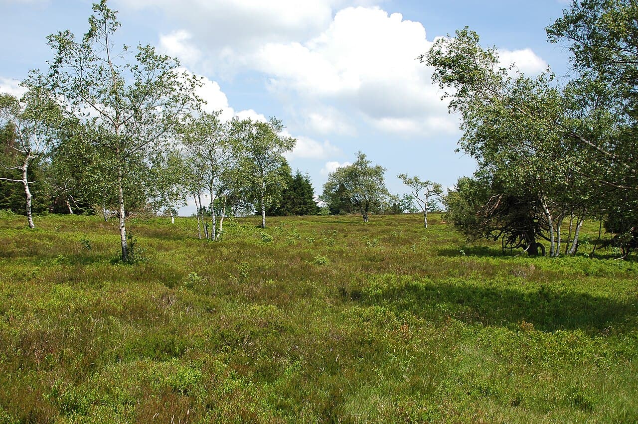
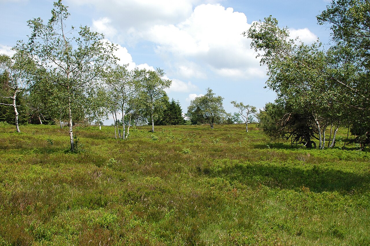
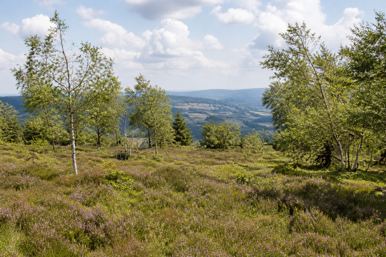
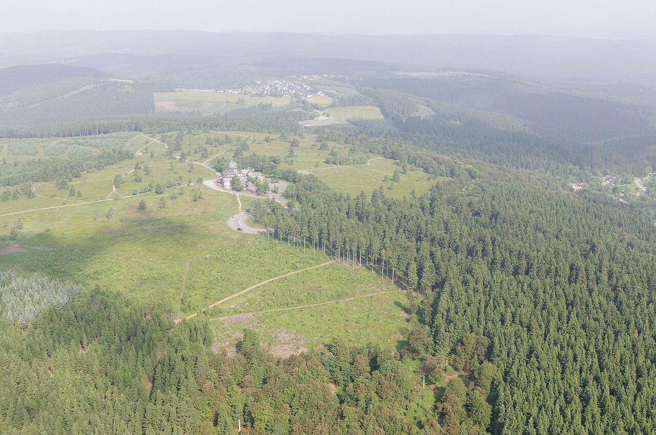
| Hochheide | Open heath — visible Astenturm ahead |
| Descent | Lee took alternate steeper forest path back |
Route choice at Lenneplätze
| Option | Character |
|---|---|
| Gentler heath route | Lee's pick — more scenic, less brutal |
| Direct steep path | Faster but harder on knees |
Tools
| Tool | Use |
|---|---|
| Trail signs | Primary — Rothaarsteig is established |
| Maps.me / Komoot | Offline backup |
| Guesthouse advice | Locals know spring conditions |
Dog navigation note
Off-leash where permitted in forest; leash required on protected Hochheide — signs are clear.
Related planning
- Difficulty — moderate terrain
- Getting there — start from town centre
Related guides
trek accommodation guide
Winterberg Accommodation: Dog-Friendly Stays
Kahler Asten (Winterberg) · 1 min read
Read guide →
trek cost guide
Kahler Asten Cost Guide: Weekend Budget in EUR
Kahler Asten (Winterberg) · 1 min read
Read guide →
trek difficulty guide
Kahler Asten Difficulty: Fitness & Dog Tips
Kahler Asten (Winterberg) · 1 min read
Read guide →