Rheinsteig Navigation: Waymarks, Maps & Getting Lost
How to navigate the Rheinsteig — R waymarks, Komoot, official guidebook, Bonn city start and Lee's navigation lessons on the Rhine trail.
Hiked by Lee
Self-guided
Last verified
The Rheinsteig is a premium certified trail (Qualitätsweg Wanderbares Deutschland) — excellent R waymarks, official stage descriptions, and enough Komoot tracks that getting seriously lost is rare. The tricky bits are urban starts, forest sameness, and Rhine ferry timing.
Also read: Complete Guide · Itinerary · Trek overview

Waymarking
| Marker | Meaning |
|---|---|
| White R on blue | Official Rheinsteig direction |
| Yellow signs | Local connector / variant |
| Red/white blaze | Other regional paths — don't follow blindly |
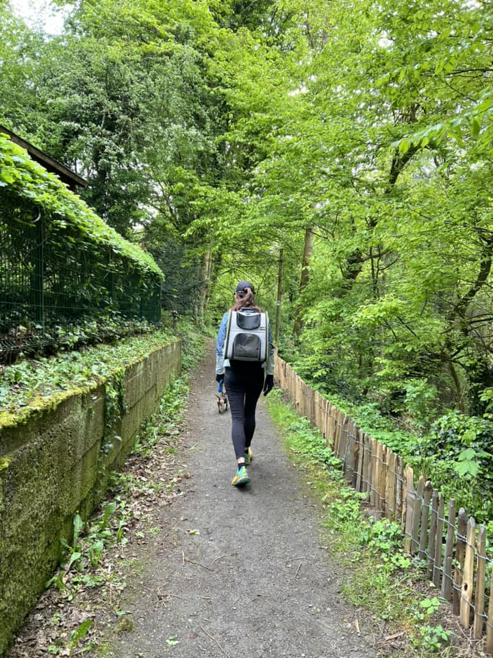
Markers appear on trees, posts, and rocks — frequent in forest, obvious near towns.
Navigation tools
1. Official Rheinsteig materials
- Rheinsteig guidebook (German) — stage maps, accommodation lists
- Official website — stage PDFs, elevation profiles
- Best for planning; we used digitally on phone
2. Komoot / GPS app
- Download offline maps for each stage
- Search "Rheinsteig Stage X" — community routes match official path
- Lee's primary on-trail tool
3. Paper backup
Optional — phone battery + rain are the real risks. Power bank recommended.
Where navigation gets tricky
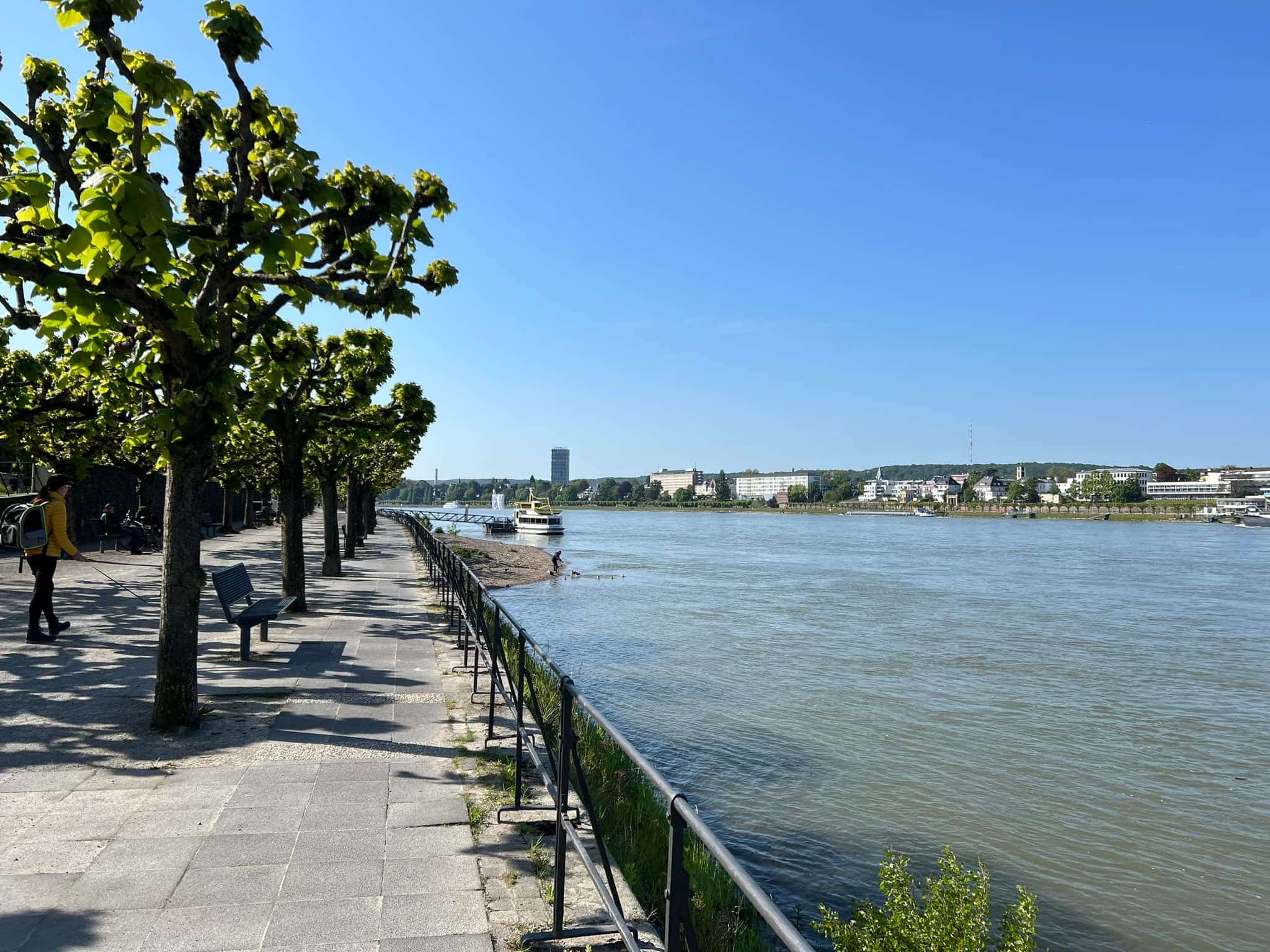
Bonn city start (Day 1)
Leaving Bonn through streets before hitting forest — follow R markers carefully through urban connectors. Easy to miss a turn at traffic lights.
Forest monotony
Long stretches look identical — trust waymarks, check Komoot every 30–60 min.
Vineyard sections
Paths split between terrace levels — markers usually on the upper Rheinsteig line.
Rhine crossings
Ferries aren't navigation errors but logistics traps:
- Day 5: trail ended one bank, hotel on other
- Missed last ferry → long walk to bridge
- Check ferry timetable before you start the stage
Road walking
Some official connectors use roads — stay visible, follow R signs through villages.
Section continuity (Lee's two-year hike)
Year 1 ended in Linz — Year 2 restarted same point. Mark exact GPS or photo of last waymark for confidence.
Offline checklist
- Komoot route downloaded per stage
- Phone charged + power bank
- Ferry times saved (Rhine stages)
- Hotel address in maps app
- Emergency: 112 (EU)
Compared to wild trails
| Trail | Navigation |
|---|---|
| Rheinsteig | Easy — marked premium trail |
| Skye Trail | Hard — faint paths, weather |
| TMB | Moderate — TMB signs + variants |
| Mullerthal | Easy — similar marking |
If you go off route
- Stop — don't wander deeper
- Backtrack to last confirmed R marker
- Check Komoot — usually within 50–200 m of track
- Ask in next Biergarten — locals know the trail
Related planning
- Getting there — Bonn start logistics
- Difficulty — mental stamina in forest
- Itinerary — stage endpoints
- Packing list — phone + power bank
Related guides
trek accommodation guide
Rheinsteig Accommodation: Hotels & Guesthouses
Rheinsteig · 3 min read
Read guide →
trek cost guide
Rheinsteig Cost Guide: What We Spent in EUR
Rheinsteig · 3 min read
Read guide →
trek difficulty guide
How Hard Is the Rheinsteig? Difficulty & Fitness Guide
Rheinsteig · 3 min read
Read guide →