Driving North Macedonia | Skopje to Lake Ohrid Routes
Navigate North Macedonia by car — Skopje to Matka, Struga to Mavrovo mountain loop, Lake Ohrid sites and offline map tips.
Hiked by Lee
Self-guided
Last verified
Distances are short but mountain roads to Mavrovo and Galičnik reward slow driving and offline maps.
Route overview
| Leg | Navigation notes |
|---|---|
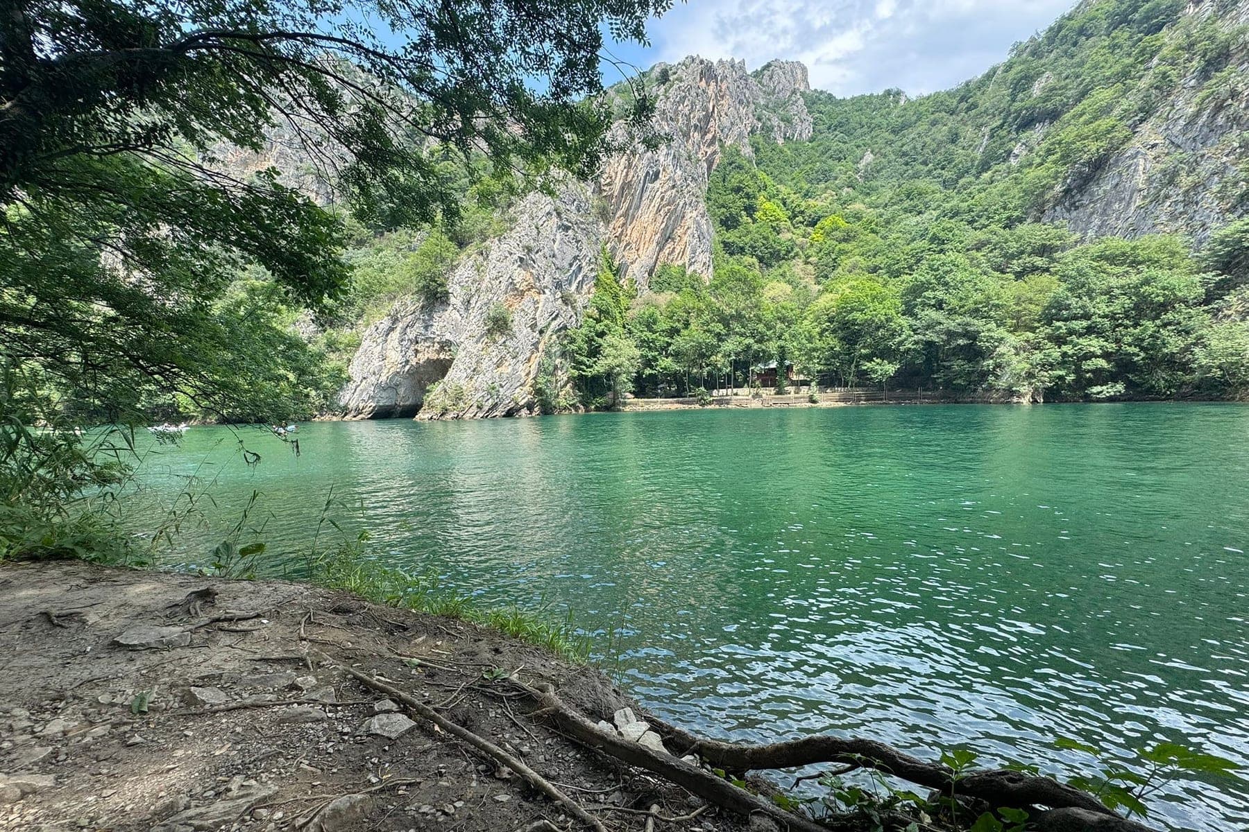
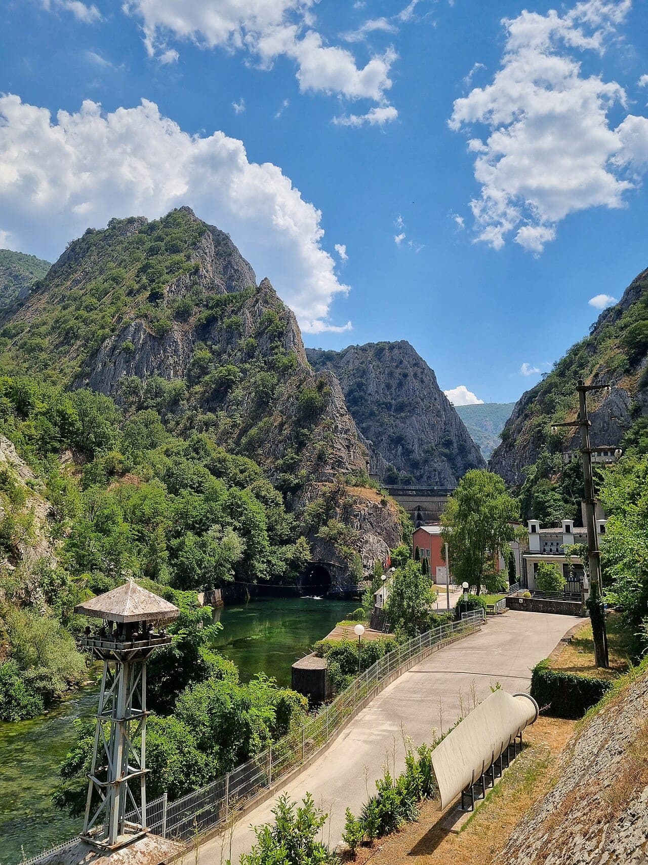
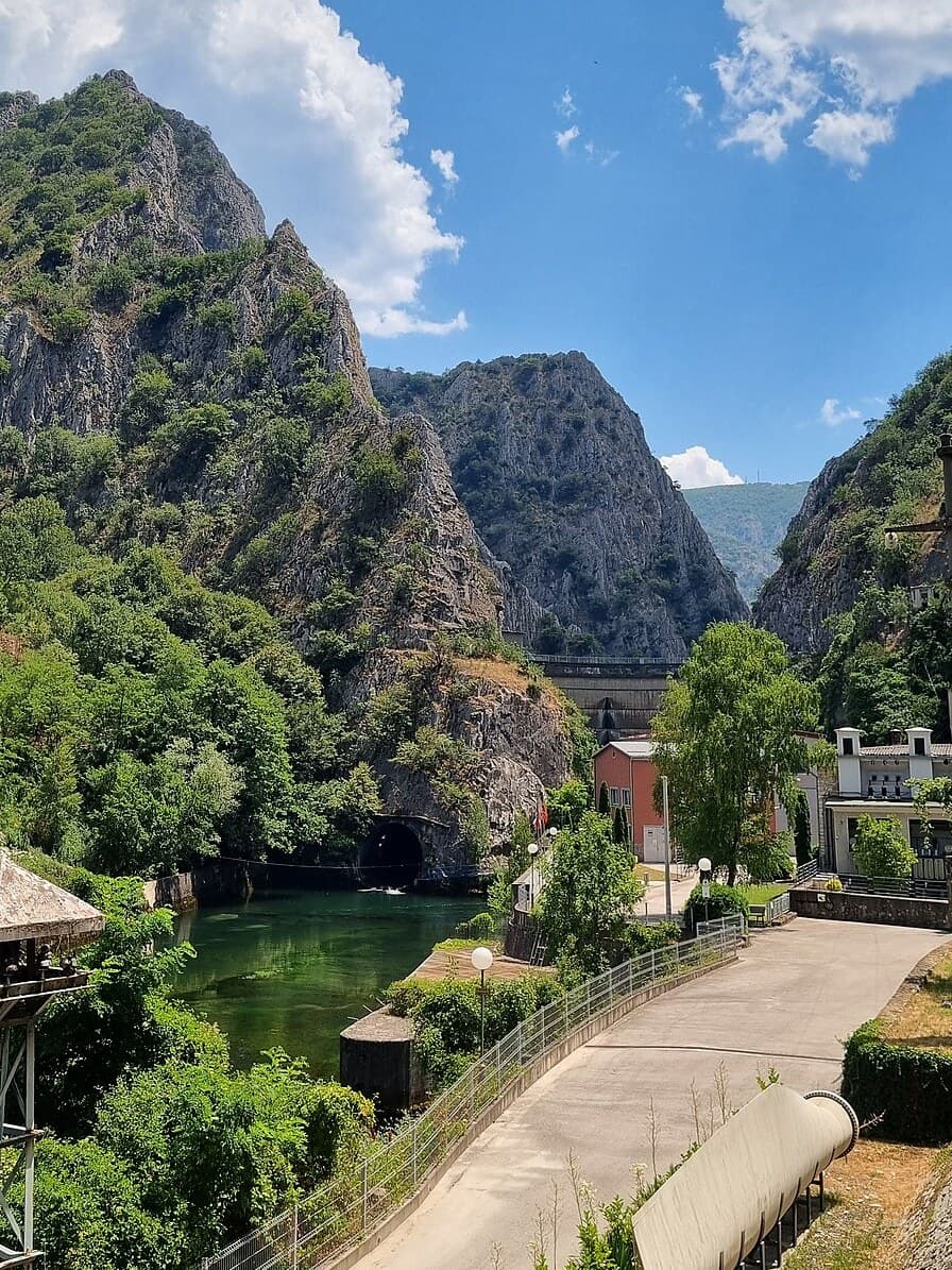
| Skopje → Matka | ~30 min — straightforward canyon access |
| Skopje/Matka → Struga | South on main roads to Lake Ohrid |
| Struga → Mavrovo | Mountain approach — scenic, winding |
| Mavrovo → Galičnik | High-country village roads |
| Galičnik → Bigorski Monastery | Signed loop back toward lake |
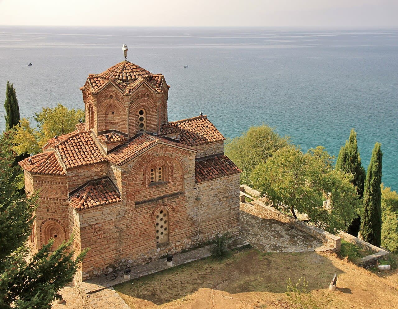
| Struga ↔ Ohrid town | Short lakeside drive |
Key checkpoints
| Stop | Nav tip |
|---|---|
| Matka dam | Main parking and trailheads |
| Mavrovo Lake | Sunken church viewpoint |
| Galičnik | Village perched on Bistra slopes |
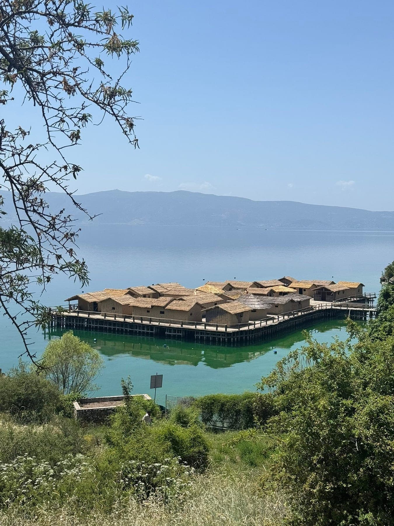
| Bay of Bones | South shore Lake Ohrid |
| St Naum | Near Albanian border — passport if crossing |
Tools
| Tool | Use |
|---|---|
| Google Maps | Primary for main roads |
| Offline maps | Backup on Mavrovo mountain passes |
| Local advice | Homestay hosts know best scenic routes |
Driving tips
- Cash for parking and small village purchases
- Early starts for Ohrid peak-season parking
- Mountain roads — don't rush; sheep may outnumber people in Galičnik
- Lake Ohrid Albanian border nearby — check crossing rules
Related planning
- Itinerary — day-by-day route sequence
- Mavrovo guide — western loop detail
- Matka navigation — canyon trail map
Official resources
Cross-check dates, fees and trail rules with primary sources before you travel:
North Macedonia tourism · National parks of North Macedonia
Navigation planning for North Macedonia Road Trip
The route is waymarked, but fog, snow and tired legs still demand a map and offline GPS — markers disappear faster than expected.
| Fact | Detail |
|---|---|
| Start | Skopje |
| End | Skopje |
| Duration | ~8 days |
| Difficulty | moderate |
| Style | self-supported carrying your own kit |
| Budget anchor | ~500 USD |
| Permit | Not typically required |
| Waymarked | Yes |
Frequently asked questions
Is a paper map needed?
Yes — batteries die in cold rain. Carry a waterproof map or printed overview plus offline GPS on North Macedonia Road Trip.
How visible is the trail?
The route is waymarked, but fog, snow and tired legs still demand a map and offline GPS — markers disappear faster than expected.
Are trekking poles worth it?
On steep or slippery terrain they save knees — especially on long climb-and-descent days on North Macedonia Road Trip.
What if someone loses the group?
Agree regroup points at junctions, carry a whistle, and know the emergency number for North Macedonia.
Decision checklist for North Macedonia Road Trip
- The route is waymarked, but fog, snow and tired legs still demand a map and offline GPS — markers disappear faster than expected.
- Carry paper backup plus offline GPS
- Agree regroup points at major junctions
Before booking North Macedonia Road Trip
Lock non-refundable pieces — permits, key lodging, and transport into Skopje — only after the stage plan is realistic.
Before departure, walk through food, water, navigation and shelter against the longest stage, then use the packing list builder and cost calculator as a second pass — and still verify prices and rules on official websites.
Continue planning North Macedonia Road Trip
Parent guide: North Macedonia travel guide · Trek overview
Use the Packing List Builder, Trek Cost Calculator and Trek Comparison when your dates are firm.
Related guides
trek accommodation guide
Where to Stay in North Macedonia | Homestays & Guesthouses
North Macedonia Road Trip · 3 min read
Read guide →
trek cost guide
North Macedonia Trip Cost Guide | Balkan Budget
North Macedonia Road Trip · 6 min read
Read guide →
trek difficulty guide
North Macedonia Trip Difficulty | Hiking & Road Conditions
North Macedonia Road Trip · 4 min read
Read guide →