Iseltwald Navigation: Lakeside Paths & Offline Maps
How to navigate Iseltwald — waymarked lakeside walks, bus 103 from Interlaken, Giessbach loop GPS and offline maps on Lake Brienz.
Hiked by Lee
Self-guided
Last verified
Iseltwald trails are well waymarked and hard to get lost on — but cell signal fades in forested lakeside sections. Download an offline map in Interlaken before you board bus 103.
Also read: Complete guide · Packing list · Trek overview

Waymarking
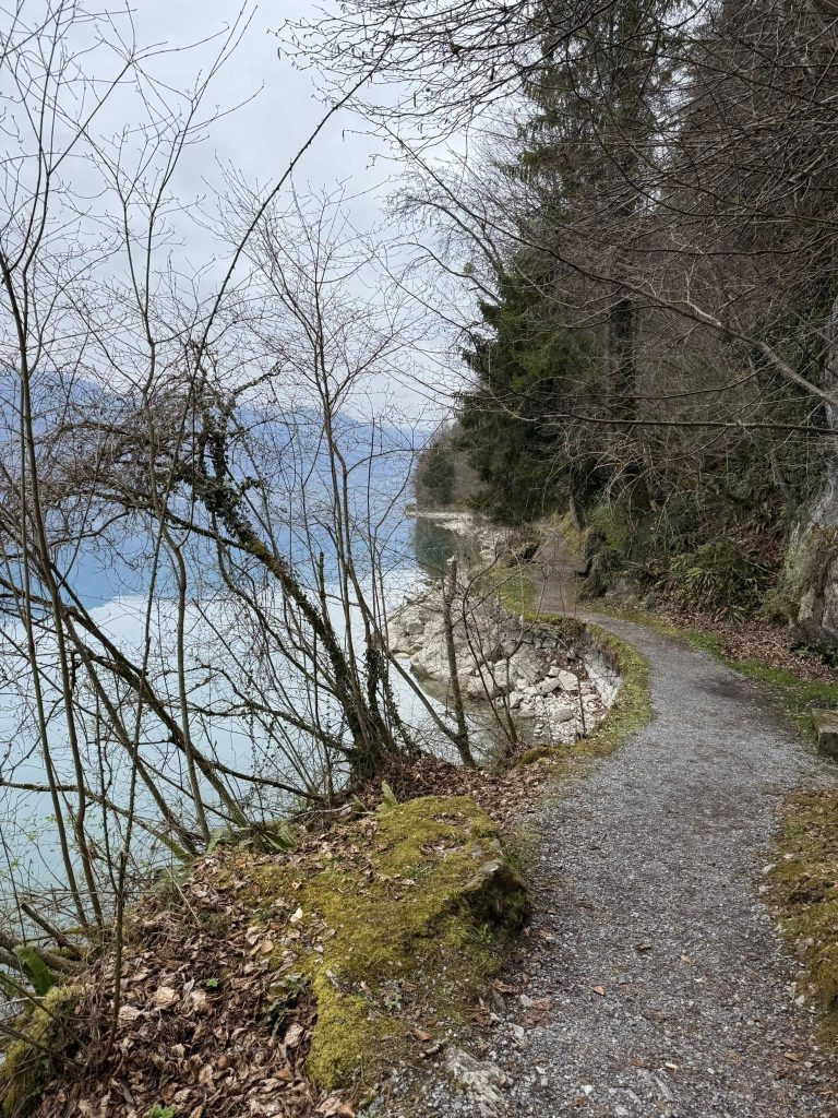
- Yellow hiking signs (Swiss standard) from the village toward the lake and forest
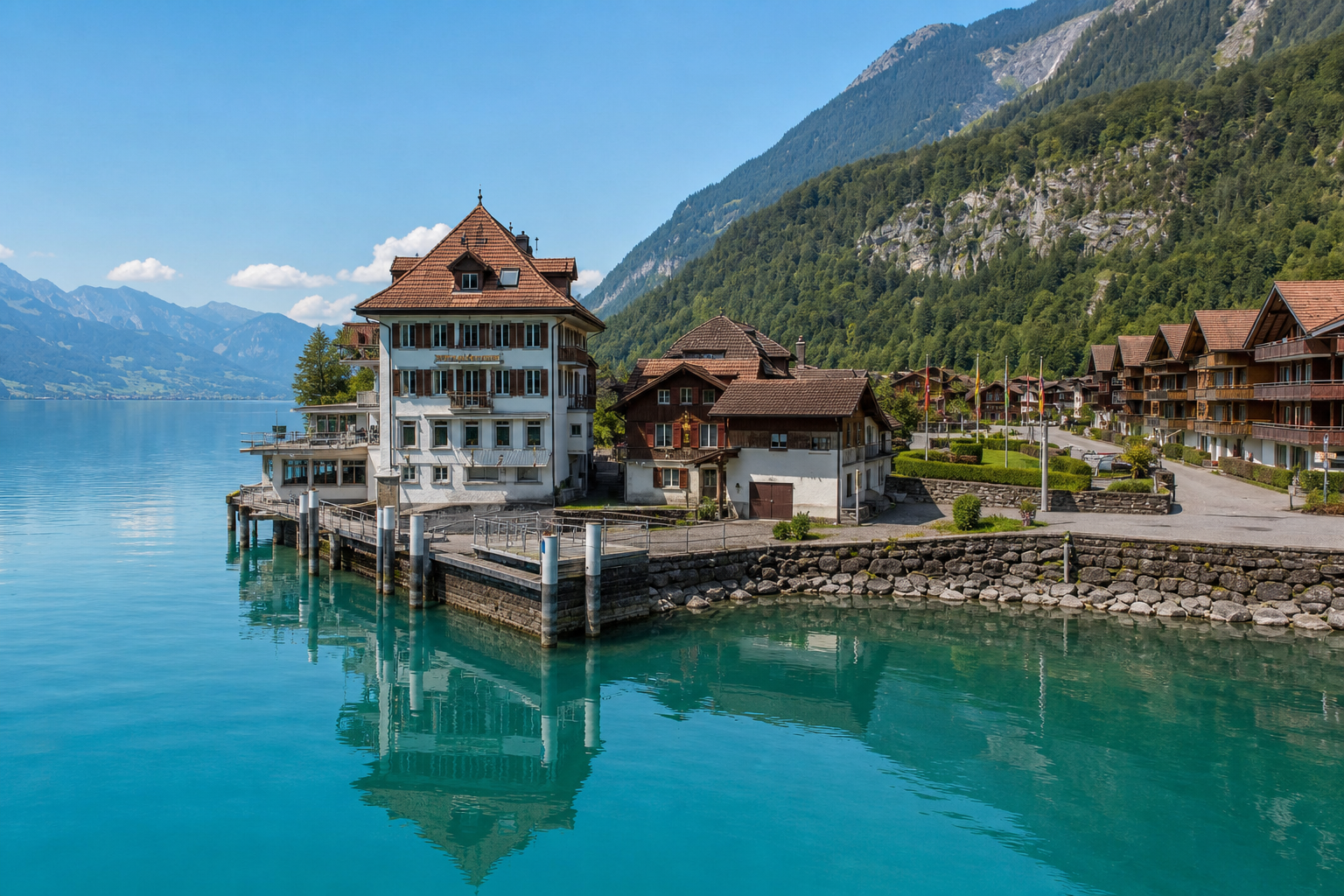
- Lakeside walkways are obvious — follow the shore toward Giessbach for the longer loop
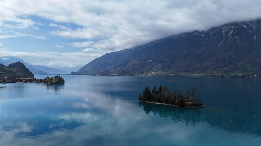
- Out-and-back options if you only want the village and pier photos
- Trails are easy — navigation is about route choice, not technical map reading
Getting to the trailhead
| Mode | Trailhead | Notes |
|---|---|---|
| Bus 103 | Iseltwald Dorfplatz | From Interlaken Ost (~25 min) |
| Boat | Iseltwald landing (seasonal) | Scenic but less frequent |
| Car | Village parking | Limited spaces — arrive early |
Screenshot the return bus times while you still have signal in Interlaken.
Navigation tools
1. Offline GPS / watch
Download the Giessbach round trip or village loop before you leave WiFi. Lee used a watch backup on longer Swiss day hikes.
2. Komoot / SwissTopo app
Popular routes are well tracked — save the GPX for the ~11.5 km Giessbach loop if you want turn-by-turn in forest.
3. Paper backup
Screenshot the junction near Giessbach Falls — the only place hikers briefly leave the obvious lakeside path.
Route options
| Route | Distance | Navigation |
|---|---|---|
| Village loop | ~2–3 km | Follow lake signs — 30–45 min |
| Lakeshore to pier | Short | Instagram pier — obvious footpath |
| Giessbach Falls loop | ~11.5 km RT | Waymarked forest + lake — 2–3 hours |
Safety notes
- Slippery stone after rain — slow down on lakeside sections
- Winter: ice on shaded paths — check local conditions
- Boat + bus combo: confirm last return sailing if you split transport modes
Related planning
- Complete guide — full day outline
- Food guide — picnic stops along the shore
- Packing list — offline map and power bank
Next guide
Beginner Hut-to-Hut Ladder: Iseltwald & Sorapis → Laugavegur → AV1 → TMB
Build toward classic European hut treks — Lee's first-hand progression from Iseltwald and Lago di Sorapis day hikes through Laugavegur, Alta Via 1 and Tour du Mont Blanc.